
About Amistad National Recreation Area
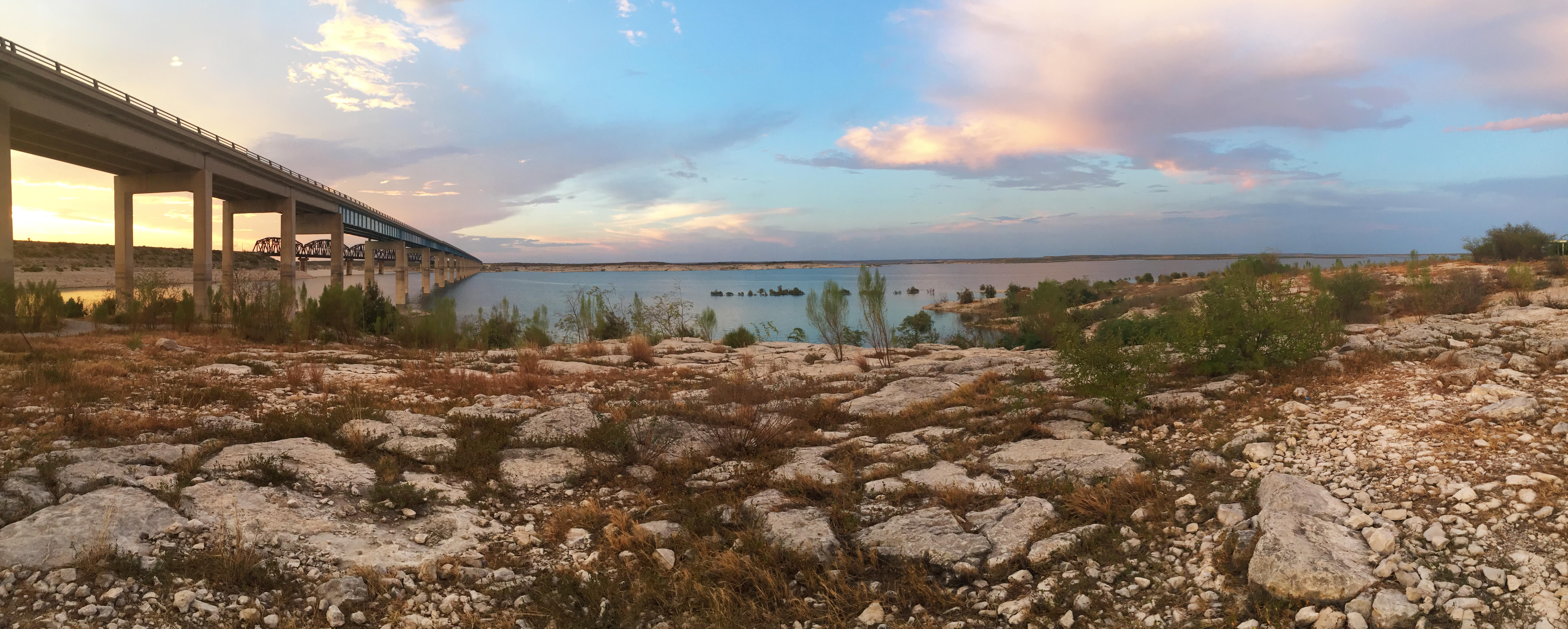
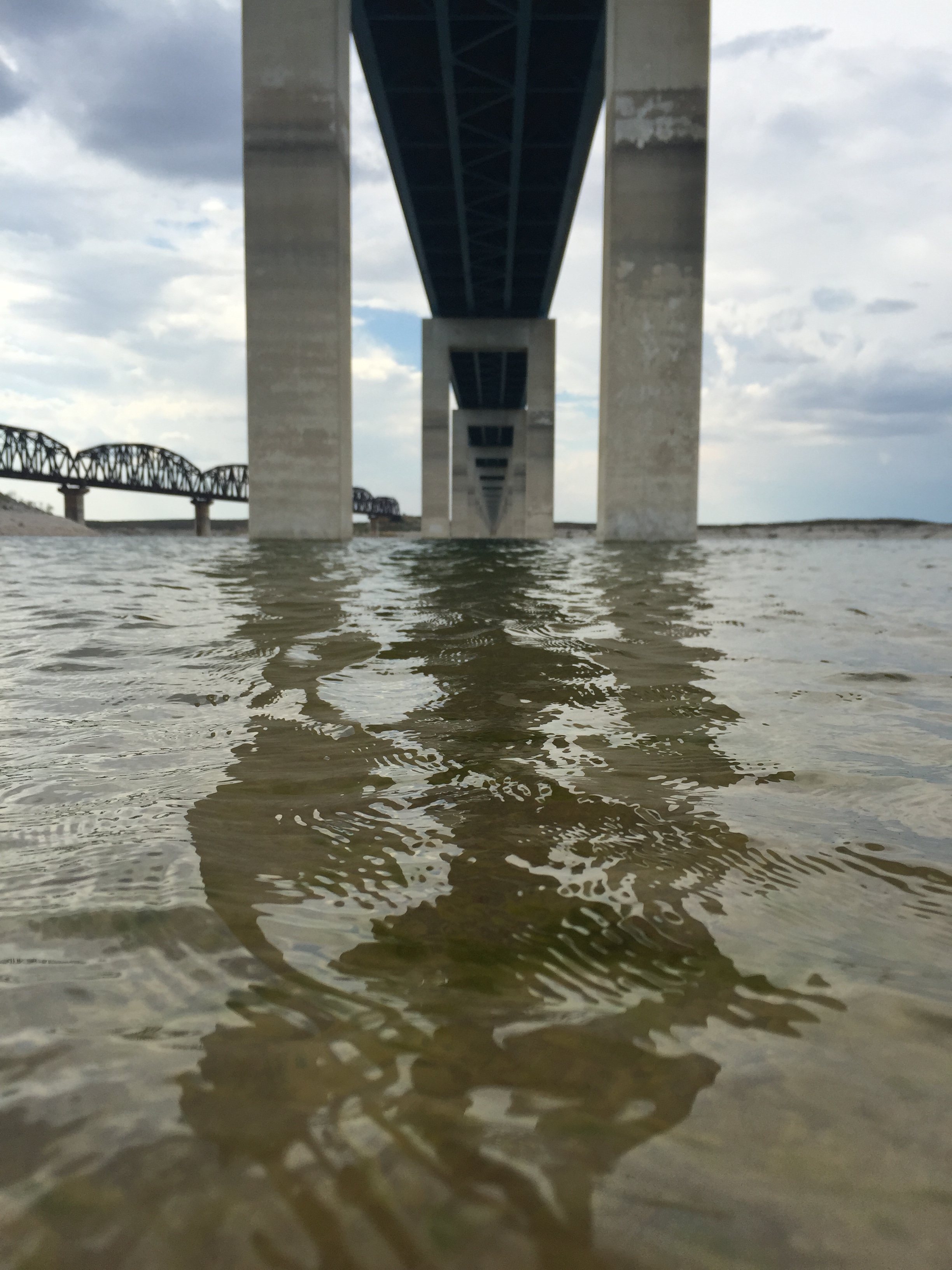
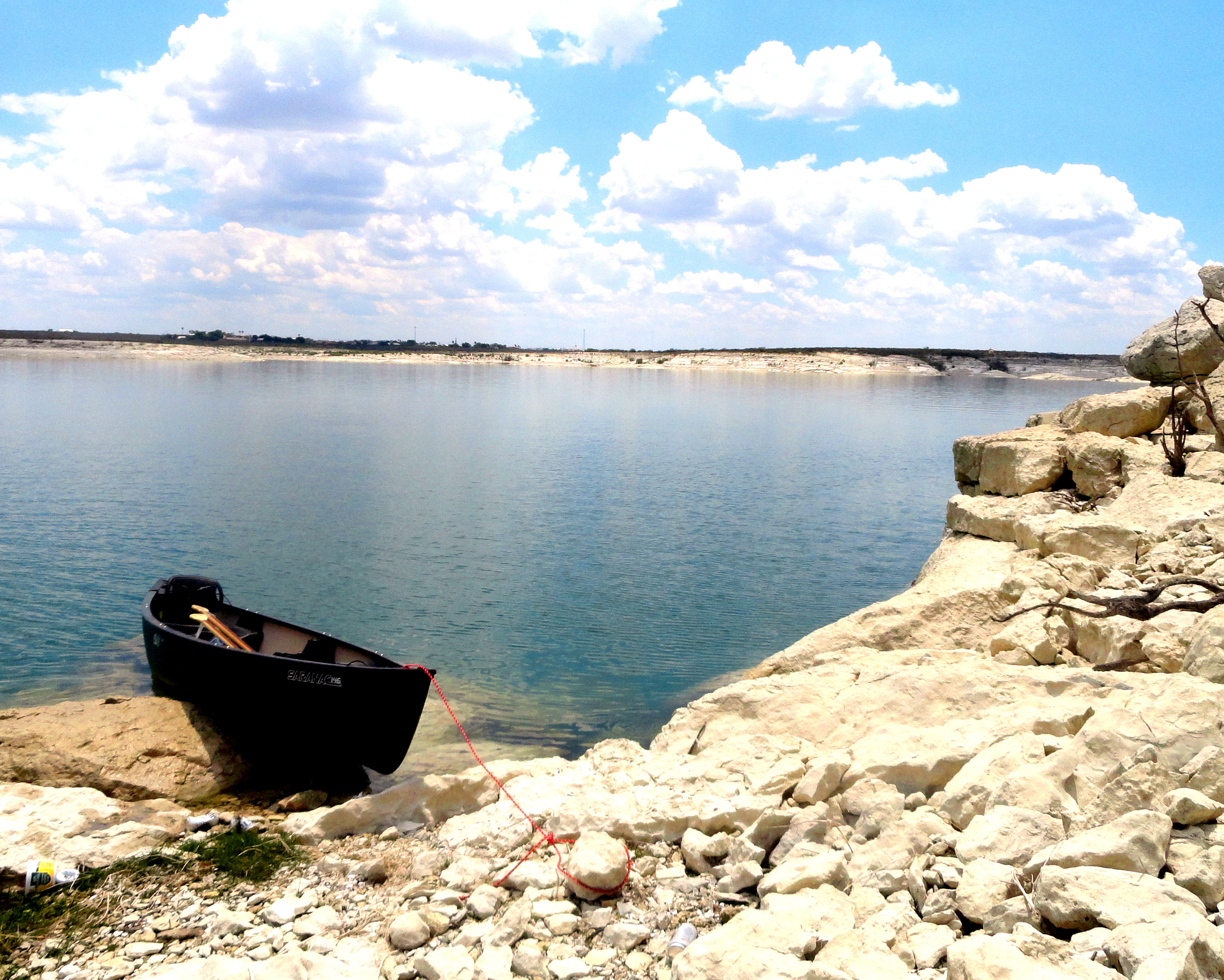
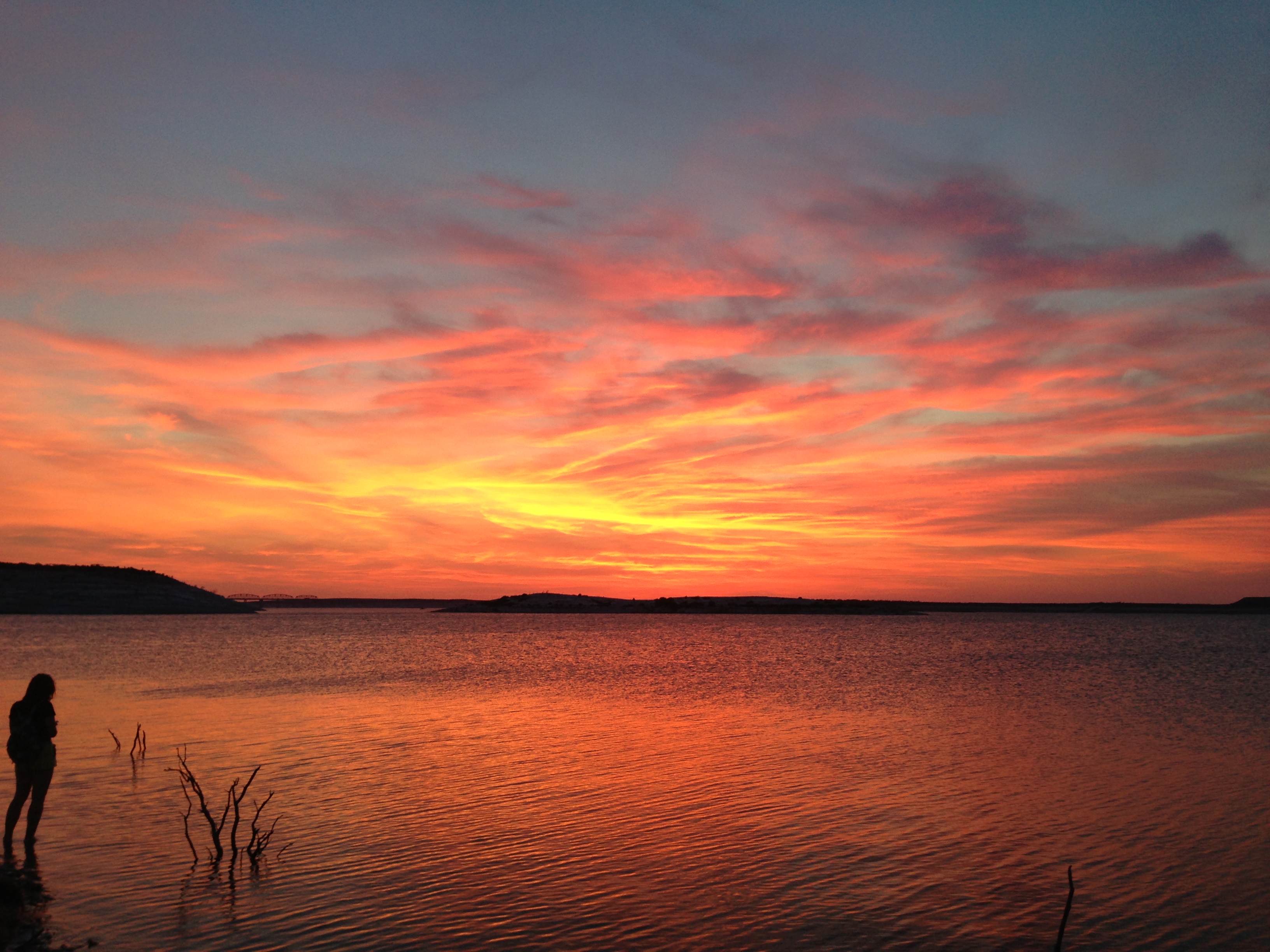
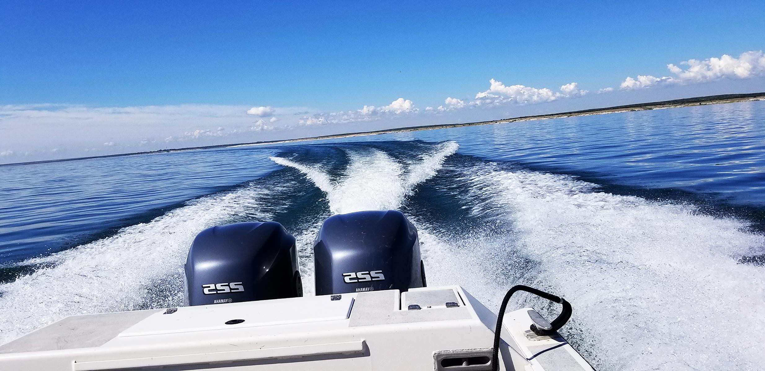
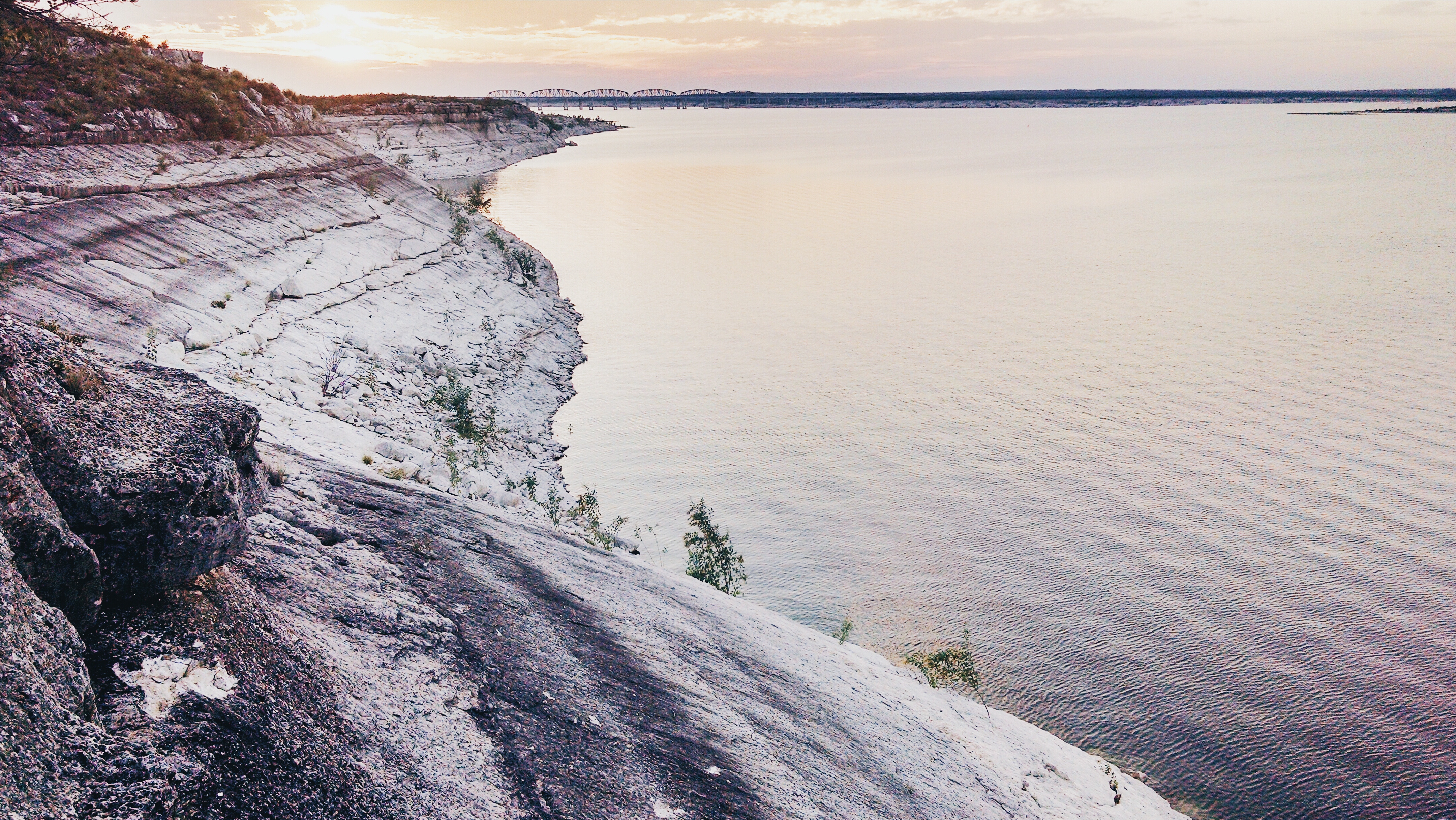
An oasis in the desert, Amistad National Recreation Area consists of the US portion of the International Amistad Reservoir. Amistad, a Spanish word meaning "friendship," is known for excellent water-based recreation, camping, hiking, and rich cultural history dating back nearly 5,000 years. Amistad is also home to a wide variety of plant and animal life both above and below the water.
Plan a Visit
Core visitor information on this page is sourced from the National Park Service. NPD proximity sections use NPS reference coordinates and straight-line distance. Local source bundle updated Sep 27, 2026. View the official NPS page.
Weather & Conditions
Weather in Southwest Texas can change in a matter of minutes. It is best to check the local weather report. Amistad National Recreation Area usually has hot summers and mild winters. For more information, please visit the park's Current Conditions page at https://www.nps.gov/amis/planyourvisit/conditions.htm.
NPS Reference Location
Park state / territory membership: Texas. This map uses the National Park Service reference coordinate. It may represent an administrative or reference point rather than a park entrance, trailhead, visitor center, or the nearest access point. Use the official NPS directions below when planning travel.
Operating Hours
Amistad National Recreation Area is open throughout the year. However, some areas may experience temporary closures because of low water levels. Please see our Operation Hours and Seasons and Current Conditions pages for more specific details.
Activities
Current Alerts
The Diablo East Marina Cove, Scuba Cove, and walkway access are closed because of the presence of excessive docking material, unsafe walkway and dock, and unstable, loose ground. The area will reopen once these hazards have been corrected.
A number of lakes are infested with an array of aquatic invasive species that damage natural ecosystems and waterways. Boaters are advised to Clean, Drain, and Dry all boats and equipment every time they leave the water.
Due to low water levels, only the left side of Diablo East and Rough Canyon boat ramps are open. Please use caution with Spur 406 and Spur 454 launches, as the water may be too shallow to launch most boats. To see a list of open ramps, click on "more."
Getting There
Amistad National Recreation Area is located on the US-Mexico border 7 miles west of the Del Rio city limit and 6 miles west of the US Highway 90 and 277 North intersection. The park is 160 miles west of San Antonio on US Highway 90 and about 230 miles east of Big Bend National Park via US Highway 90 and US Highway 385. Access to Amistad from the north or south is via US 277/377. The visitor center address is 10477 Highway 90 West, Del Rio, TX 78840.
View Official DirectionsContact & Address
The NPS-listed address may be an administrative office, visitor center, mailing/contact location, or other park facility rather than a park entrance.
Topics & Themes
Things To Do

Hike the Diablo East Nature Trail
Hiking at Amistad - Diablo East Nature Trail
Boating at Amistad
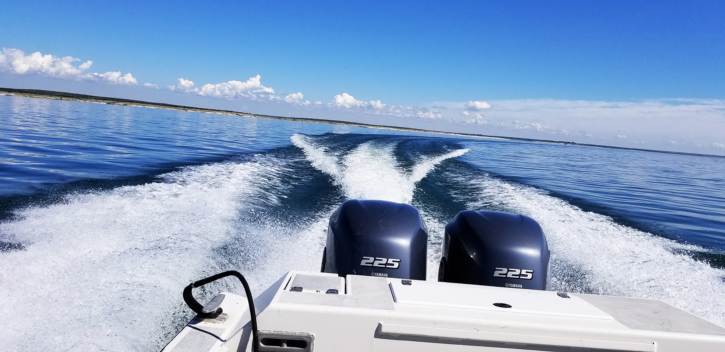
Boating at Amistad National Recreation Area
Swimming at Amistad
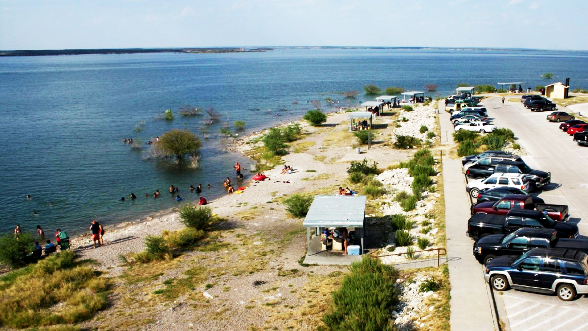
Swimming and playing in the water at Governors Landing, and throughout the park, is popular during Amistad National Recreation Area's…
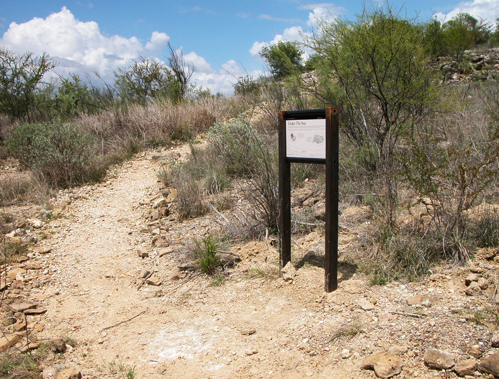
Hiking at Amistad
These trails at Amistad National Recreation Area will provide opportunities for wildlife watching, lake views, and quiet reflection.
Visitor Centers
Amistad National Recreation Area Visitor Center
The Visitor Center offers several park-related movies. _Transparent Border_ is the park's official movie about how the reservoir came to influence a relationship between the…
Campgrounds
Governors Landing Campground
Governors Landing Campground is open year-round and rarely fills up, except possibly on holiday weekends. It is suitable for tents and RVs up to 28…
Rough Canyon Campground
Rough Canyon Campground is generally open year-round and is in close proximity to a boat ramp. There may be a camp host on duty in…
San Pedro Campground
San Pedro Campground is open year-round and rarely fills to capacity. Of Amistad's campgrounds, it is the best suited for large RVs. This campground is…
Spur 406 Campground
Spur 406 Campground is generally open year-round and rarely fills up, except possibly on holiday weekends. It may close on occasion due to high water…
277 North Campground
277 North Campground is generally open year-round and rarely fills up. A boat launch ramp off the campground may be available depending on lake levels.…
Rock Quarry Group Campsite
Rock Quarry Group Campsite is open year-round and is a limited development campsite. It offers a private space for a group of up to 35…
Nearby National Park Service Sites
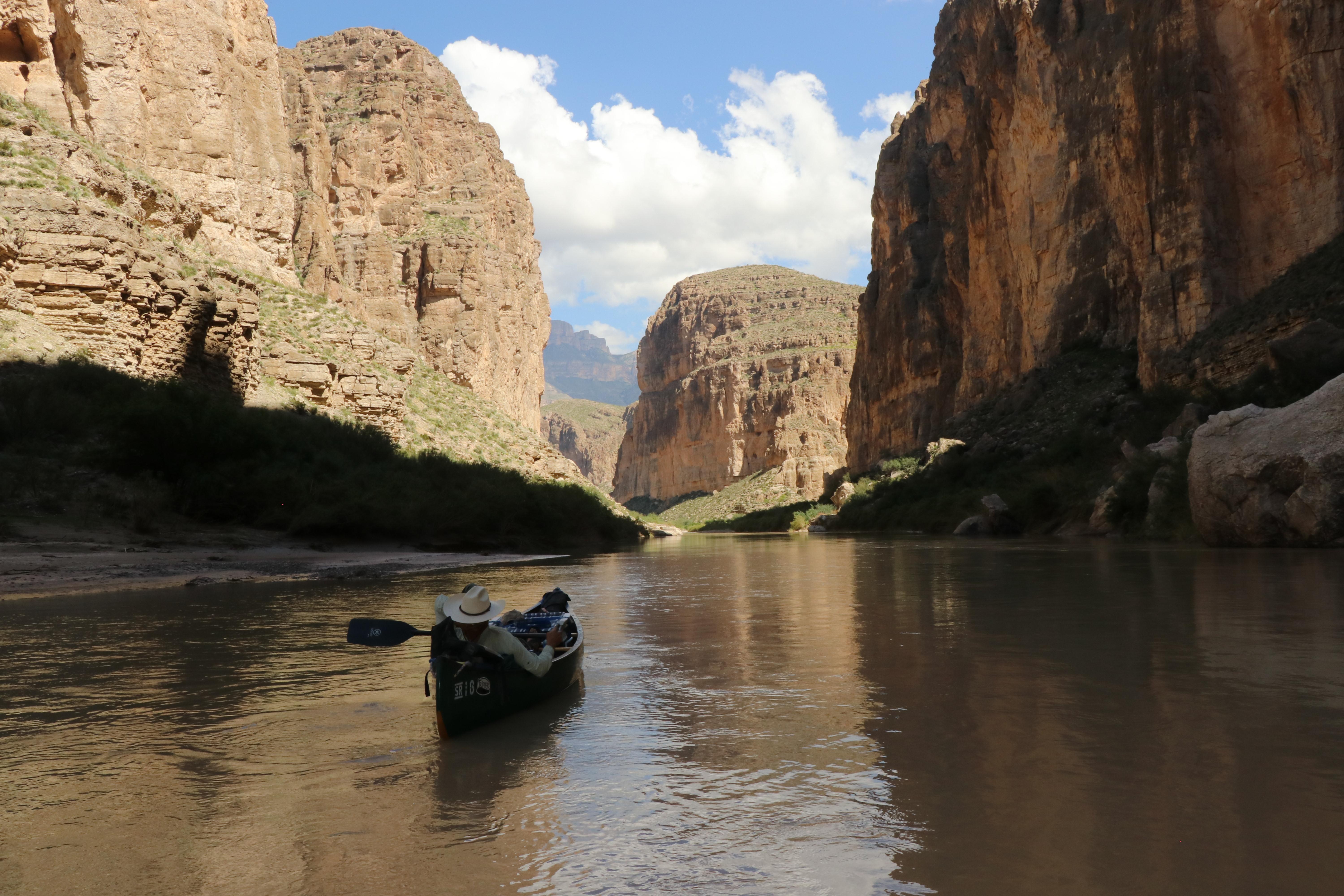
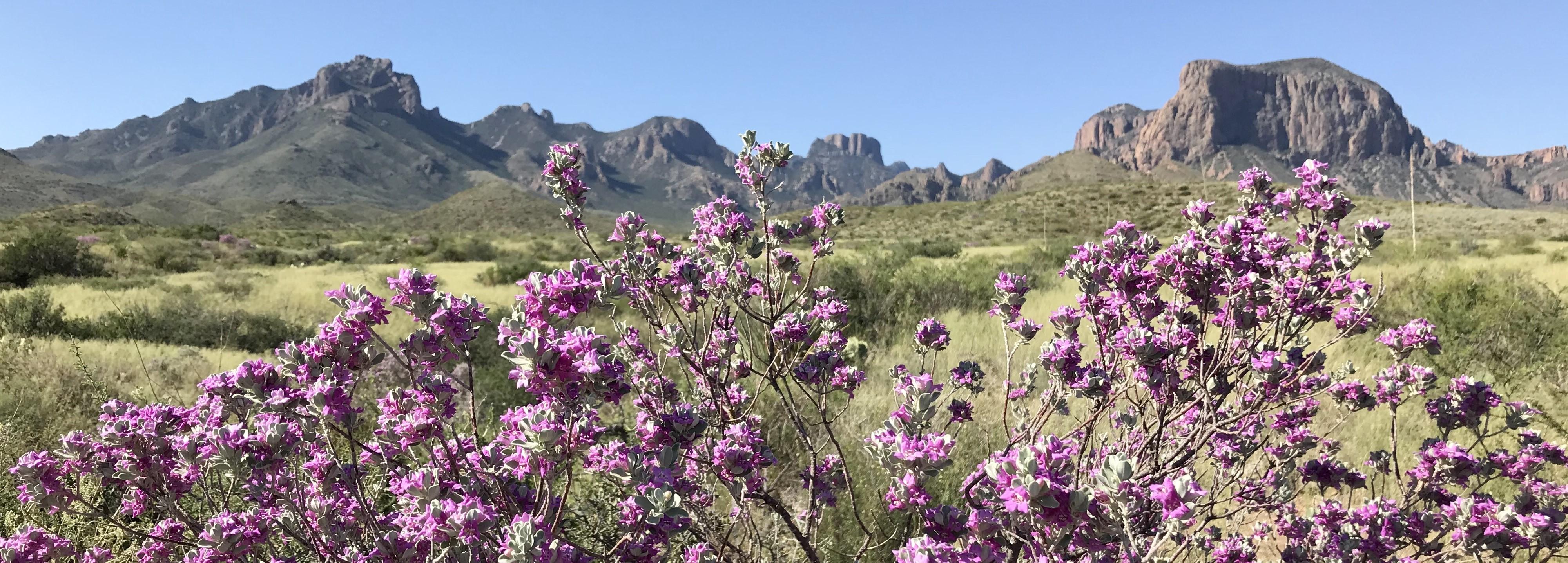
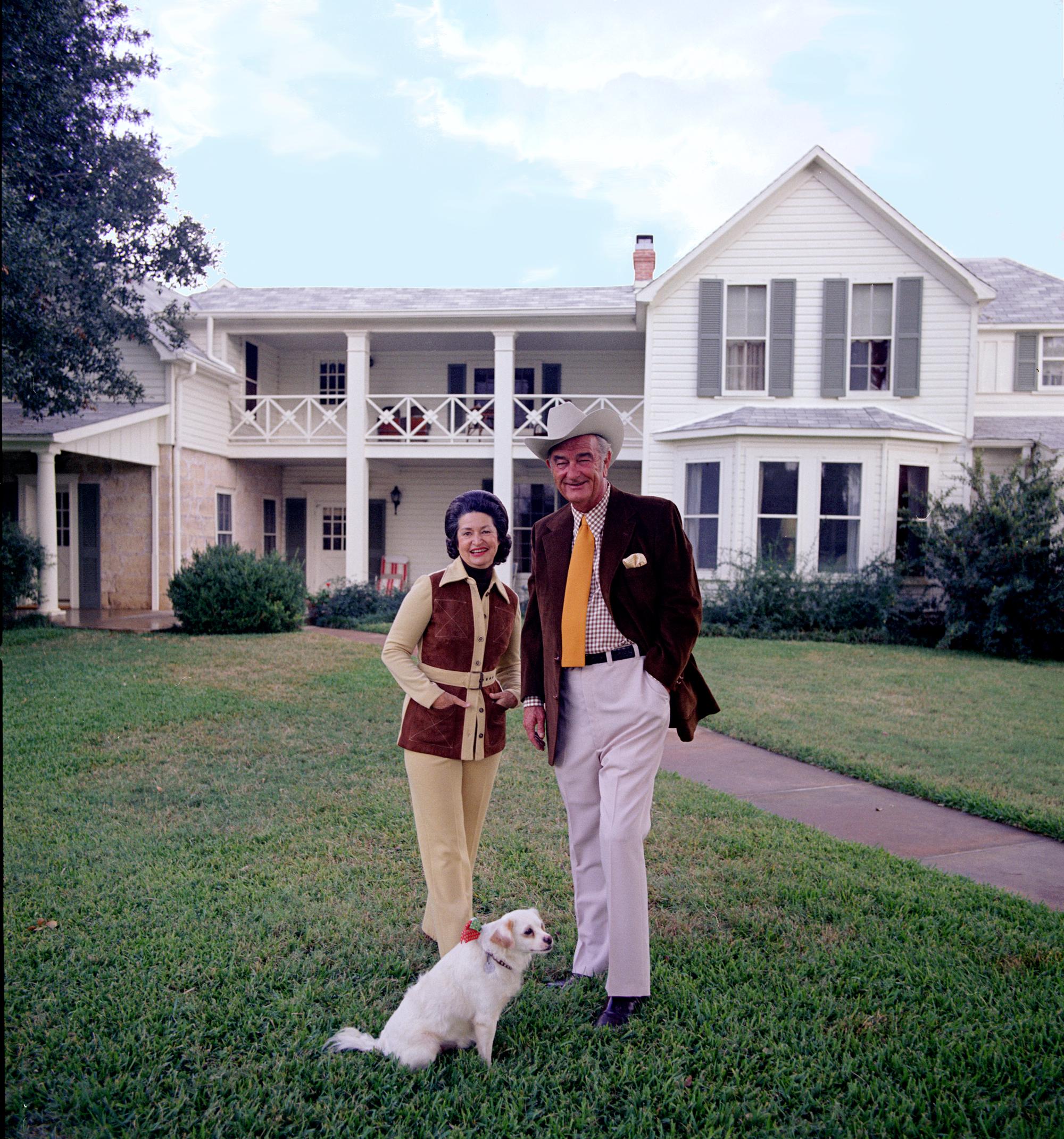
These sites are ordered by straight-line distance between NPS reference coordinates. This is useful for comparison, but it is not road mileage. Trails, parkways, rivers, and distributed units may extend far from their reference point.
Nearby Cities for Trip Planning
These cities are ordered by straight-line distance from the NPS reference coordinate. They are comparison starting points, not official park gateways or road-distance estimates. Trails and other distributed units may extend far beyond this reference point.
🗺️ Guided Tours & Experiences
Discover Amistad National Recreation Area with expert-led tours
We earn a commission if you make a purchase, at no additional cost to you.
🏨 Search Lodging for Amistad National Recreation Area
Review lodging results matching this park or site name
We earn a commission if you make a purchase, at no additional cost to you.