About Big South Fork National River & Recreation Area
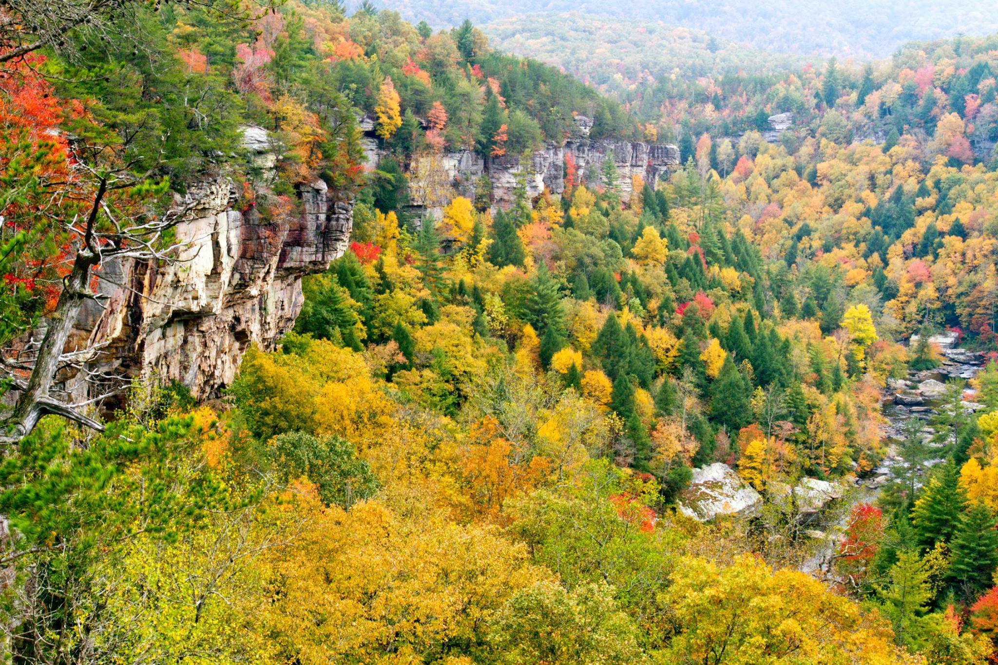
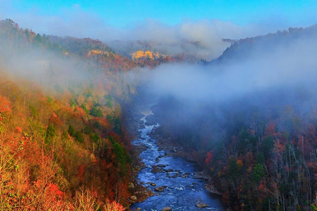
Encompassing 125,000 acres of the Cumberland Plateau, Big South Fork National River and Recreation Area protects the free-flowing Big South Fork of the Cumberland River and its tributaries. The area boasts miles of scenic gorges and sandstone bluffs, is rich with natural and historic features and has been developed to provide visitors with a wide range of outdoor recreational activities.
Plan a Visit
Core visitor information on this page is sourced from the National Park Service. NPD proximity sections use NPS reference coordinates and straight-line distance. Local source bundle updated Sep 27, 2026. View the official NPS page.
Weather & Conditions
The weather along the Cumberland Plateau can be best described as unpredictable. Each season brings its own weather patterns. Summers are generally hot and humid, with high temperatures sometimes eclipsing 90 degrees. The low temperatures in winter often dip below freezing. Spring sees the most amount of precipitation, but rainfall…
NPS Reference Location
Park state / territory membership: Kentucky, Tennessee. This map uses the National Park Service reference coordinate. It may represent an administrative or reference point rather than a park entrance, trailhead, visitor center, or the nearest access point. Use the official NPS directions below when planning travel.
Operating Hours
The park is always open.
Activities
Current Alerts
Brewster Bridge Road in Big South Fork NRRA will temporarily close for repair and re-pavement beginning on Monday, June 29. The road was heavily damaged from significant rain events in 2022 and 2023. The area boat launch and day use area will be inaccessible during the project.
Currently, the use of drones is prohibited at Big South Fork and all National Parks. Detailed information about the policy is available...
Big South Fork NRRA has announced the temporary closure of the historic Blue Heron Tipple Bridge, effective immediately in the interest of visitor safety. A recent bridge safety inspection conducted by the Federal Highway Administration identified structural issues specific to the pier’s bridge decking which is now leaning beyond acceptable standards.
Firewood ban is in effect for the park. Only firewood from the surrounding counties of Scott, Morgan, Pickett, and Fentress, in Tennessee, and McCreary in Kentucky, can be brought into the park. Firewood is for sale or you may use dead and down wood.
Black bears call Big South Fork NRRA home. Help keep them healthy and safe by storing all food, cooking items, feed, cosmetics and coolers properly stored when at campgrounds or in the backcountry.
Getting There
Please use the following link to learn more about how to get here from various locations.
View Official DirectionsContact & Address
The NPS-listed address may be an administrative office, visitor center, mailing/contact location, or other park facility rather than a park entrance.
Topics & Themes
Visitor Centers
Crossville Visitor Center
Located in Crossville, just off Exit 320, on I-40, across from Stone Memorial High School.
Helenwood Visitor Center
Facilities & Activities Ask a ranger what to do in the park; free public WiFi; restrooms.
Bandy Creek Visitor Center
Exhibits Focus on the recreational opportunities found within Big South Fork and throughout the seven surrounding counties. Facilities & Activities Ask a ranger what to…
Blue Heron Interpretive Center
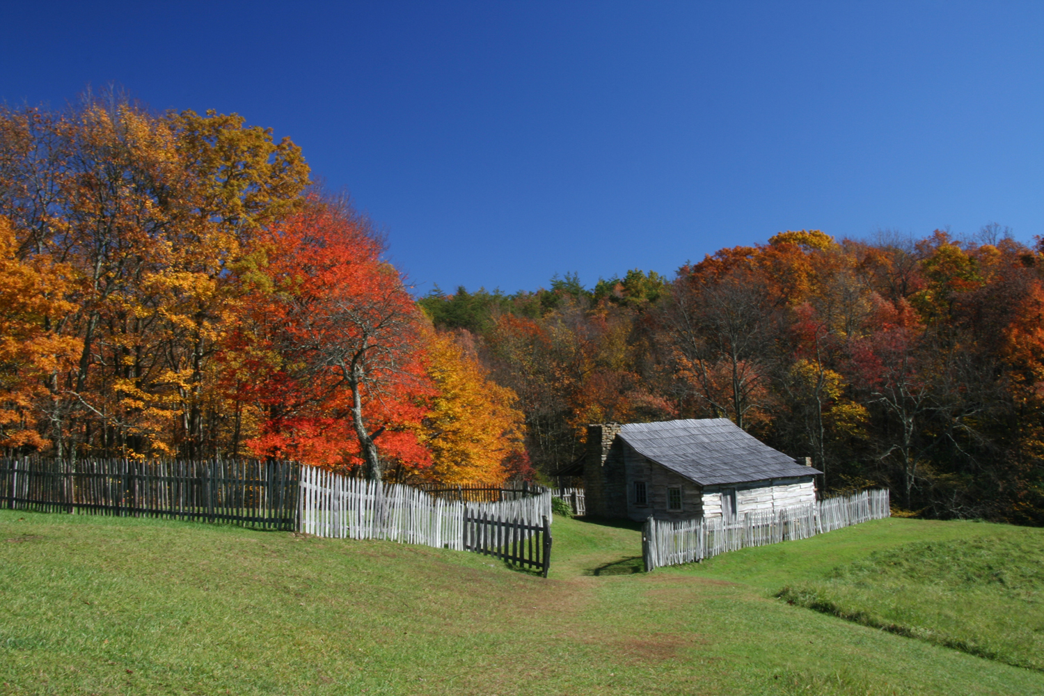
Exhibits The Blue Heron Mining Community can be visited at any time to view historic structures and listen to audio programs. Facilities & Activities Ask…
Rugby Visitor Contact Station
Facilities & Activities Ask a ranger what to do in the park; free public WiFi, restrooms; park permits.
Stearns Visitor Contact Station
Facilities Ask a ranger what to do in the park; restrooms; park permits.
Campgrounds
Blue Heron Campground
Blue Heron Campground is located in the Kentucky portion of Big South Fork, 9 miles west of Stearns off Highway 742. The campground offers a…
Bandy Creek Campground
The campground offers a total of 181 campsites: 96 trailer sites which offer water and electric hook-ups, 49 sites for tent camping, and two group…
Bear Creek Campground
This campground contains 23 developed campsites. Each site offers water and electricity, tables, grills, tie-outs for 4 horses, access to modern restrooms with hot showers,…
Alum Ford Campground
Alum Ford is a primitive campground and offers six campsites with a vault toilet facility. No drinking water is located at this area. Alum Ford…
Station Camp Campground
This campground contains 24 developed campsites. Each site offers water and electricity, tables, grills, tie-outs for 4 horses, access to modern restrooms with hot showers,…
Nearby National Park Service Sites
These sites are ordered by straight-line distance between NPS reference coordinates. This is useful for comparison, but it is not road mileage. Trails, parkways, rivers, and distributed units may extend far from their reference point.