


About Bent’s Old Fort National Historic Site
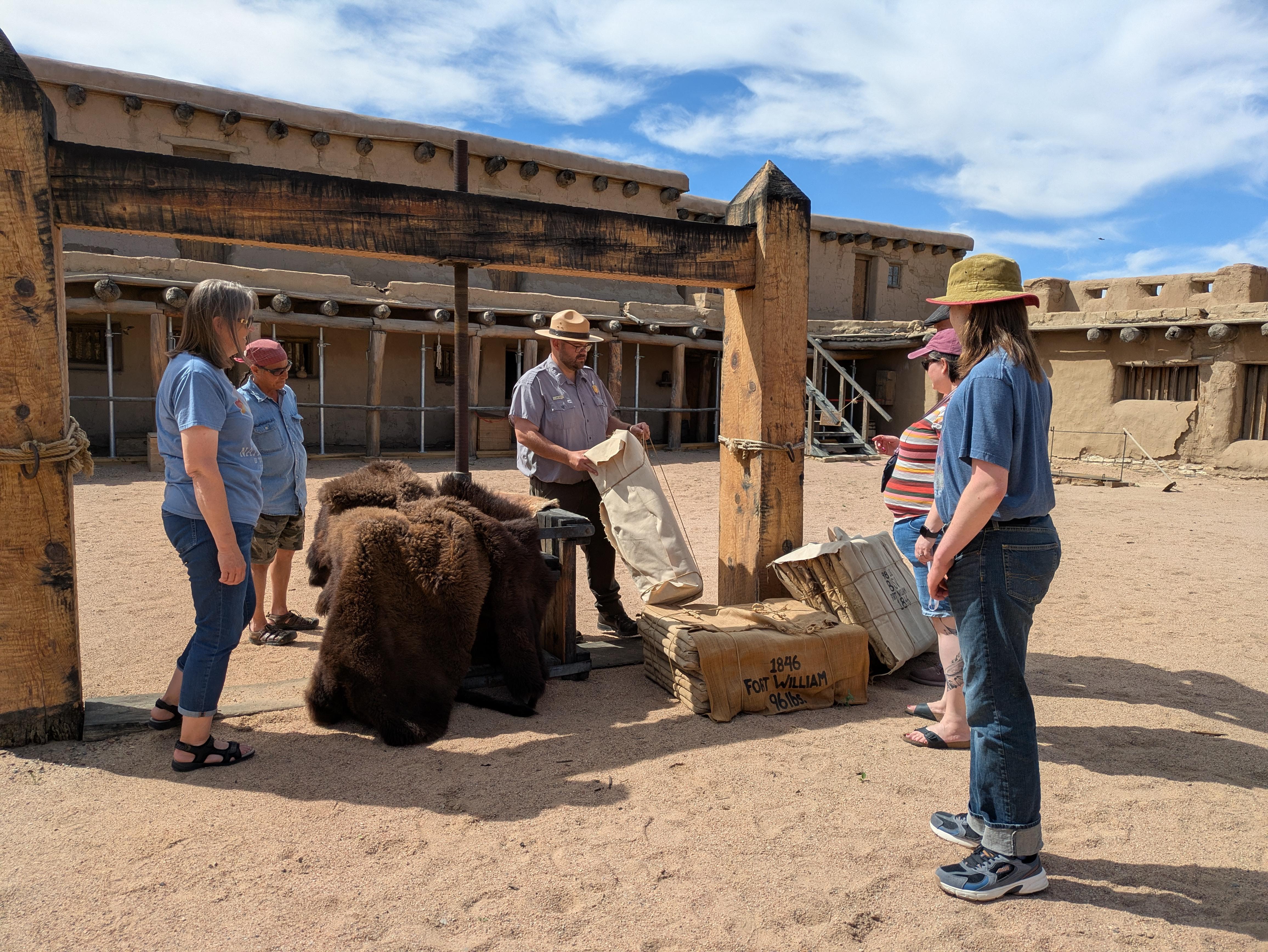
In the 1840s the Arkansas River was the border between territory claimed by the United States and Mexico. Located along the river, Bent's Fort was an adobe trading post on the Santa Fe Trail, where traders, trappers, travelers, and the Cheyenne and Arapaho tribes came together in peaceful terms for trade. Today, a reconstructed fort allows visitors to explore the front line of Westward Expansion.
Plan a Visit
Core visitor information on this page is sourced from the National Park Service. NPD proximity sections use NPS reference coordinates and straight-line distance. Local source bundle updated Sep 27, 2026. View the official NPS page.
Weather & Conditions
Summer temperatures are often in the high 90s and low 100s. Weather is generally fair in the fall and spring. Winter temperatures can be below freezing. Most of the replica fort is unheated and does not have modern cooling systems, so dress accordingly.
NPS Reference Location
Park state / territory membership: Colorado. This map uses the National Park Service reference coordinate. It may represent an administrative or reference point rather than a park entrance, trailhead, visitor center, or the nearest access point. Use the official NPS directions below when planning travel.
Operating Hours
The park grounds are open from 9:00 a.m. to 4:00 p.m., except on New Year's Day, the Birthday of Martin Luther King, Jr, Washington's Birthday, Thanksgiving Day, and Christmas Day. During the off-season [October-March annually], the grounds are open daily from 9:00 a.m. to 4:00 p.m., except for the holidays listed above. Plaza access into the reconstructed fort is on a separate schedule—see the event calendar for hours of operation on scheduled plaza access days.
Activities
Current Alerts
If you see a dead bat or a bat acting strangely at the fort, please do not touch or move it. Report the location of the animal to park staff.
Make sure to take weather into consideration when visiting. Carry water and use sunscreen to reduce the risk of heat injuries during your visit.
Regularly scheduled guided tours provide access into furnished rooms and explore the fort’s role in Westward Expansion and the reconstruction of the fort in 1976.
The design of the reconstructed fort fails to meet accessibility, fire, and life-safety requirements of 1976. A lack of code compliant components such as emergency lighting, illuminated exit signage, panic hardware on doors, and outwardly swinging exit doors results in a limitation of 49 occupants for visitor operations within the reconstructed fort.
Entry into the reconstructed fort is limited to the central plaza on scheduled days. For your safety respect all closures and restrictions. Guided tours provide access into additional areas.
A 1/4 mile (1,275 feet) walk on a paved trail from the parking area is required to reach the gate of the fort. At the end of your visit, you'll return to your vehicle along the same path.
Getting There
The park is accessed via U.S. Highway 50 and Highway 194. From La Junta, Colorado on U.S. Highway 50, take Colorado Highway 109 north 1 mile to Colorado Highway 194, then east on Colorado Highway 194 six miles to the fort. From Las Animas, Colorado, on U.S. Highway 50, take Colorado Highway 194 west 13 miles. Set your GPS to 35110 State Highway 194 E., La Junta, CO.
View Official DirectionsContact & Address
The NPS-listed address may be an administrative office, visitor center, mailing/contact location, or other park facility rather than a park entrance.