
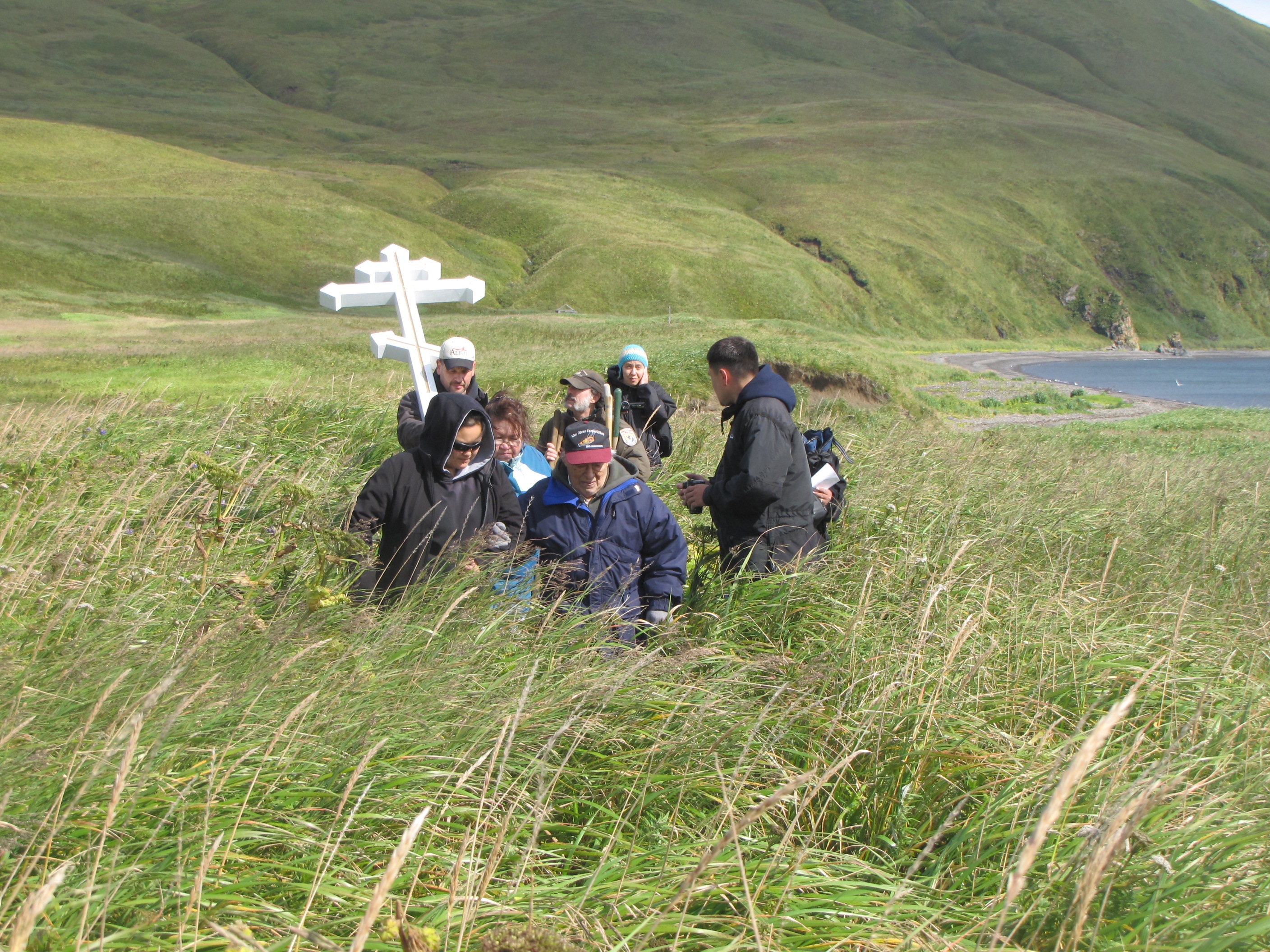


About Aleutian Islands World War II National Historic Area
The remote Aleutian Islands, home to the Unangax̂ (Aleut) people for over 8,000 years, became a fiercely contested Pacific battleground in World War II. Some Unangax̂ were taken from their homelands as Japanese prisoners of war while the others were evacuated from the islands by the government. Both groups suffered greatly during the war, and some would never return to their villages.
Plan a Visit
Core visitor information on this page is sourced from the National Park Service. NPD proximity sections use NPS reference coordinates and straight-line distance. Local source bundle updated Sep 27, 2026. View the official NPS page.
Weather & Conditions
The Aleutian Islands are known for unpredictable and stormy weather. Rain, fog, and wind are common. Dress warmly and carry rain gear even in summer. Summer temperatures range from 45 to 65 degrees F.
NPS Reference Location
Park state / territory membership: Alaska. This map uses the National Park Service reference coordinate. It may represent an administrative or reference point rather than a park entrance, trailhead, visitor center, or the nearest access point. Use the official NPS directions below when planning travel.
Operating Hours
Activities
Getting There
The park is located on Amaknak Island in the Aleutian Island chain. The island is located 800 miles west of Anchorage. The island can be reached by ferry or by commercial or charter air flights from Anchorage. If you choose to fly, the Aleutian World War II Visitor Center is conveniently located next to the Unalaska airport.
View Official DirectionsContact & Address
The NPS-listed address may be an administrative office, visitor center, mailing/contact location, or other park facility rather than a park entrance.
Topics & Themes
Things To Do

Self-Guided Tour of Fort Schwatka
Explore National Historic Landmark, Fort Schwatka and Battery 402, by foot or by vehicle.

Airport Beach Road (North)
Starting at the Aleutian World War II visitor center, this route follows the Airport Beach Route (north) and highlights 5…
Airport Beach Road (South)
Starting at the Aleutian World War II visitor center, this route follows the Airport Beach Route (south) and highlights 5…
Unalaska Town Site
Starting at the Aleutian World War II visitor center, this route crosses the river to Unalaska Island and highlights 5…
Upper Unalaska Valley
Starting at the Aleutian World War II visitor center, this route follows the Unalaska Valley road and highlights 4 military…
Summer Bay Road
Starting at the Aleutian World War II visitor center, this route follows along Iliuliuk Bay and along the Summer Bay…
More Things to Do
Additional activities and experiences from the National Park Service.
East Point Loop Road
Starting at the Aleutian World War II visitor center, this route follows the East Point Loop Road and highlights 8 military sites…
Visitor Centers
Aleutian World War II National Historic Area Visitor Center
The visitor center for Aleutian Islands World War II National Historic Area is located on Amaknak Island, a nearby island easily accessible from the major…
Nearby National Park Service Sites
These sites are ordered by straight-line distance between NPS reference coordinates. This is useful for comparison, but it is not road mileage. Trails, parkways, rivers, and distributed units may extend far from their reference point.