
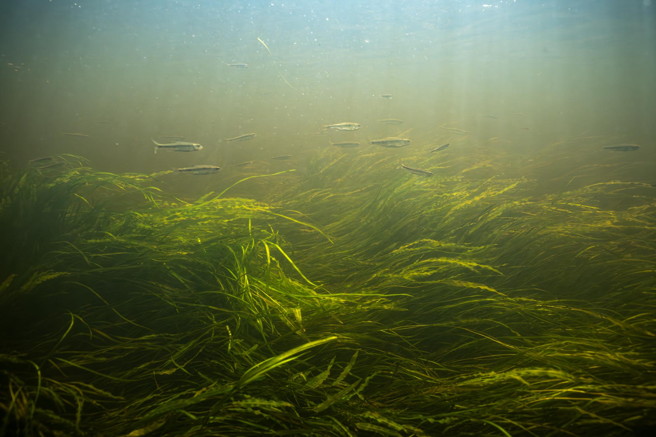
About Saint Croix National Scenic Riverway
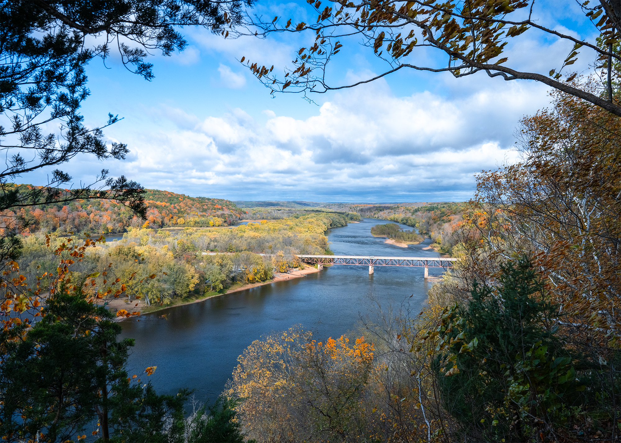
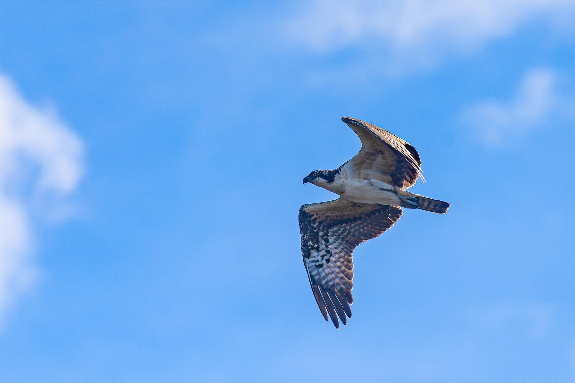
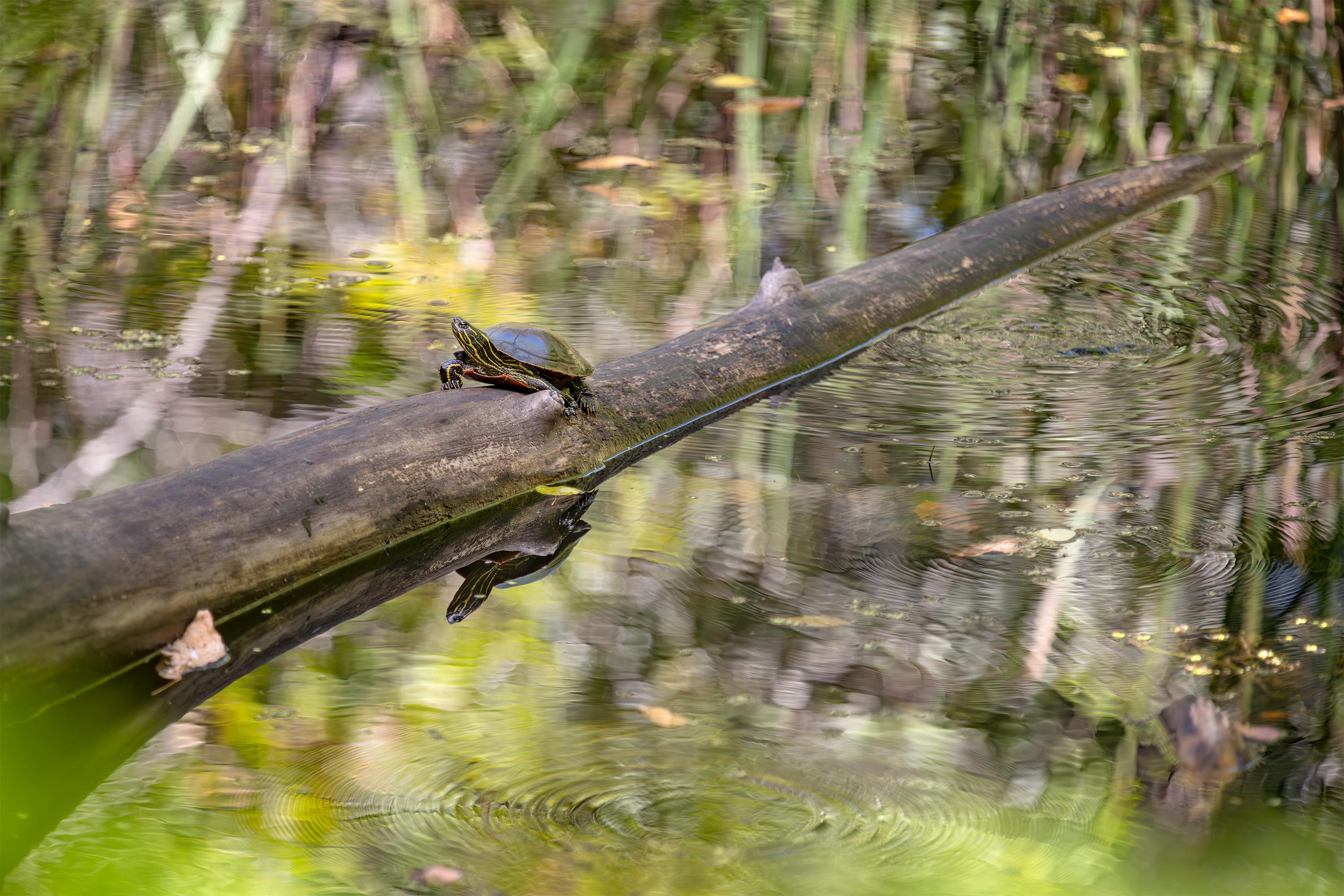
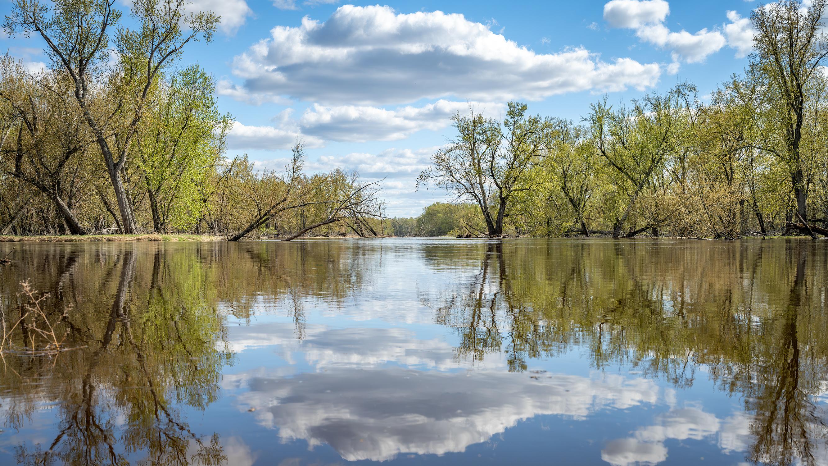
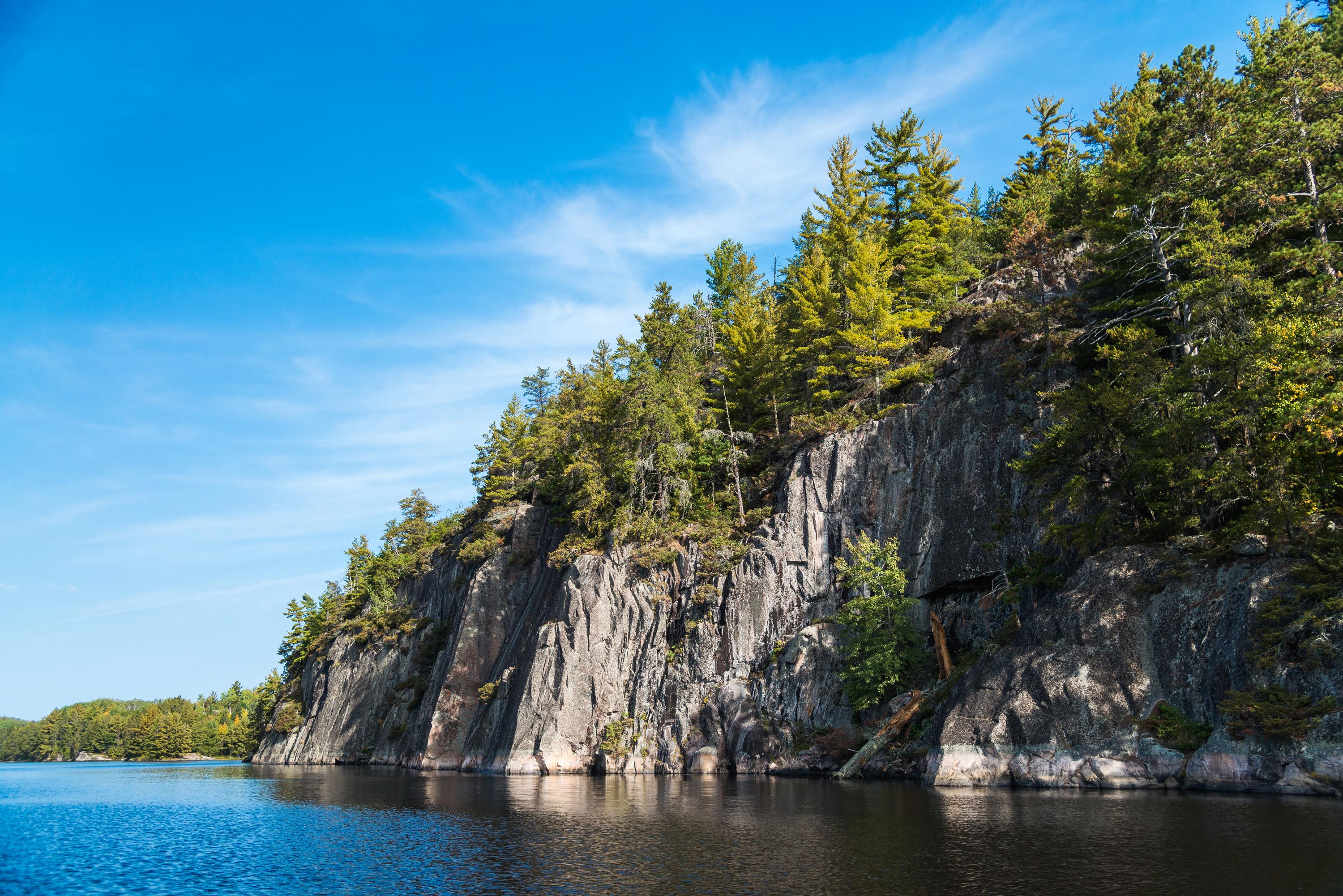
Grab your paddle and your longing for adventure and head to the St. Croix and Namekagon rivers! Together they form the St. Croix National Scenic Riverway, offering over 200 miles of clean water that glides and rushes through a forested landscape. Paddle, boat, fish, and camp among this wild and scenic beauty. Hiking and historic towns also beckon.
Plan a Visit
Core visitor information on this page is sourced from the National Park Service. NPD proximity sections use NPS reference coordinates and straight-line distance. Local source bundle updated Sep 27, 2026. View the official NPS page.
Weather & Conditions
Access to the Riverway is year-round. Early spring temperatures can reach into the 40's resulting in high, fast, and cold water from melting snow and ice. Summers are warm and humid. Severe weather can be experienced anytime from mid-spring through late summer. Fall colors begin in late September with high…
NPS Reference Location
Park state / territory membership: Wisconsin, Minnesota. This map uses the National Park Service reference coordinate. It may represent an administrative or reference point rather than a park entrance, trailhead, visitor center, or the nearest access point. Use the official NPS directions below when planning travel.
Operating Hours
The St. Croix and Namekagon rivers are open all-day, year-round except for periods of dangerous water conditions. Access to landings and trails is seasonal.
Activities
Current Alerts
Bears have been seen approaching campsites in the Riverway in search of food. Store all food, garbage, and scented items in bear‑resistant containers, locked vehicles, or properly hung bags. Food should never be stored in tents. Stay alert and report safety concerns to 1‑800‑PARK‑TIP
The northernmost parking lot and co-located boat ramps at Osceola Landing will close week of 9/14 as part of the Hwy 243 Osceola Bridge replacement project. The parking lot and boat ramps will be used as a staging area and river access point for construction equipment for the duration of the Hwy 243 bridge replacement project. During this time, the rest of Osceola Landing will be open for visitor use including alternative parking lots, restrooms, picnic shelters, trail, and other river access points.
Getting There
The St. Croix National Scenic Riverway stretches for over 200 miles in northwest Wisconsin and east-central Minnesota. The Namekagon River flows entirely in Wisconsin while the St. Croix River serves as a border between the two states for much of its length. With many different access points there are numerous opportunities for day trips as well as multi-day paddling adventures. Visitor centers are located on the Namekagon River in Trego, Wisconsin, and on the St. Croix River in St. Croix Falls, Wisconsin.
View Official DirectionsContact & Address
The NPS-listed address may be an administrative office, visitor center, mailing/contact location, or other park facility rather than a park entrance.
Topics & Themes
Things To Do
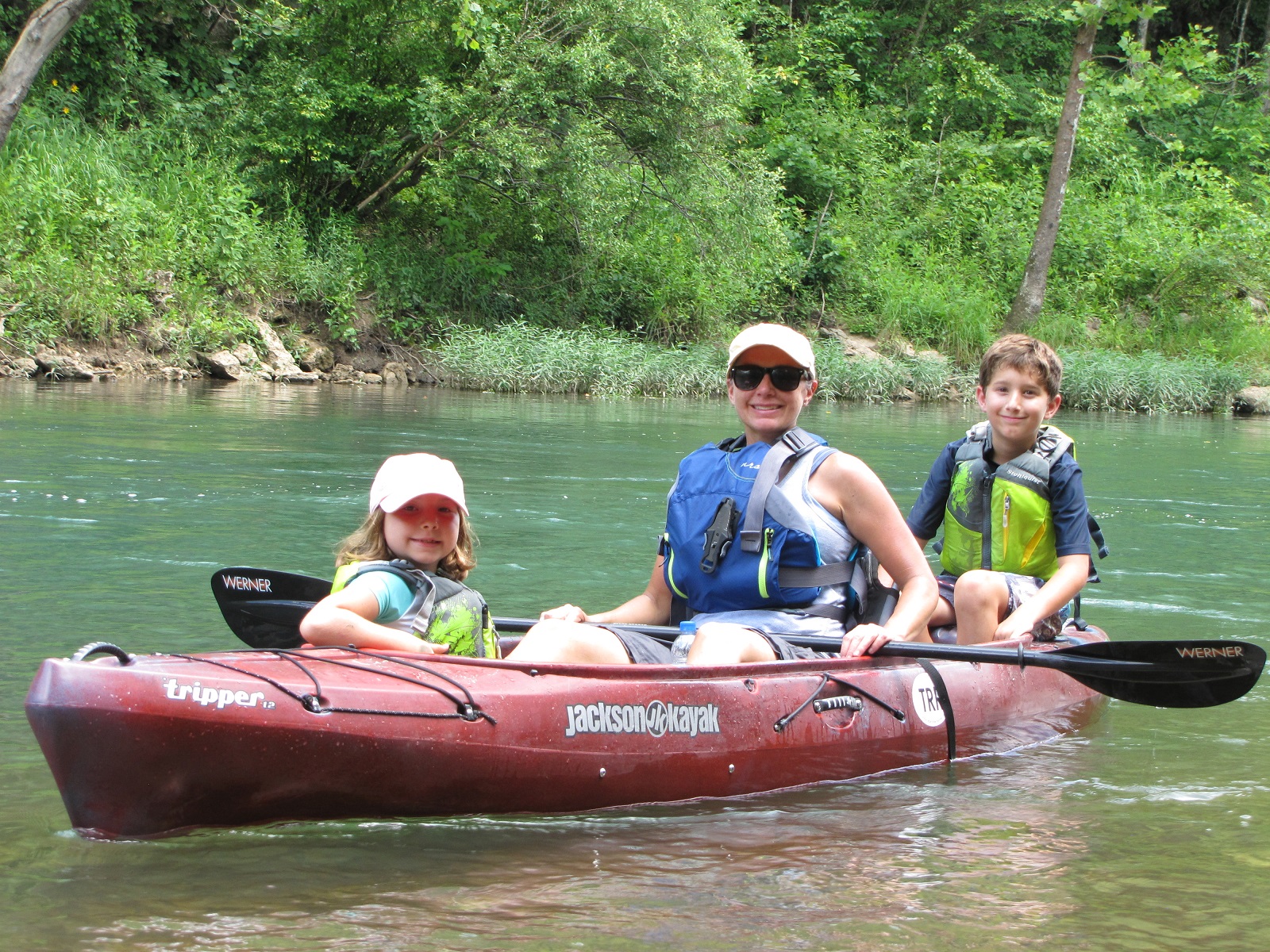
Paddling The Riverway
Paddling the rivers of the St. Croix National Scenic Riverway.
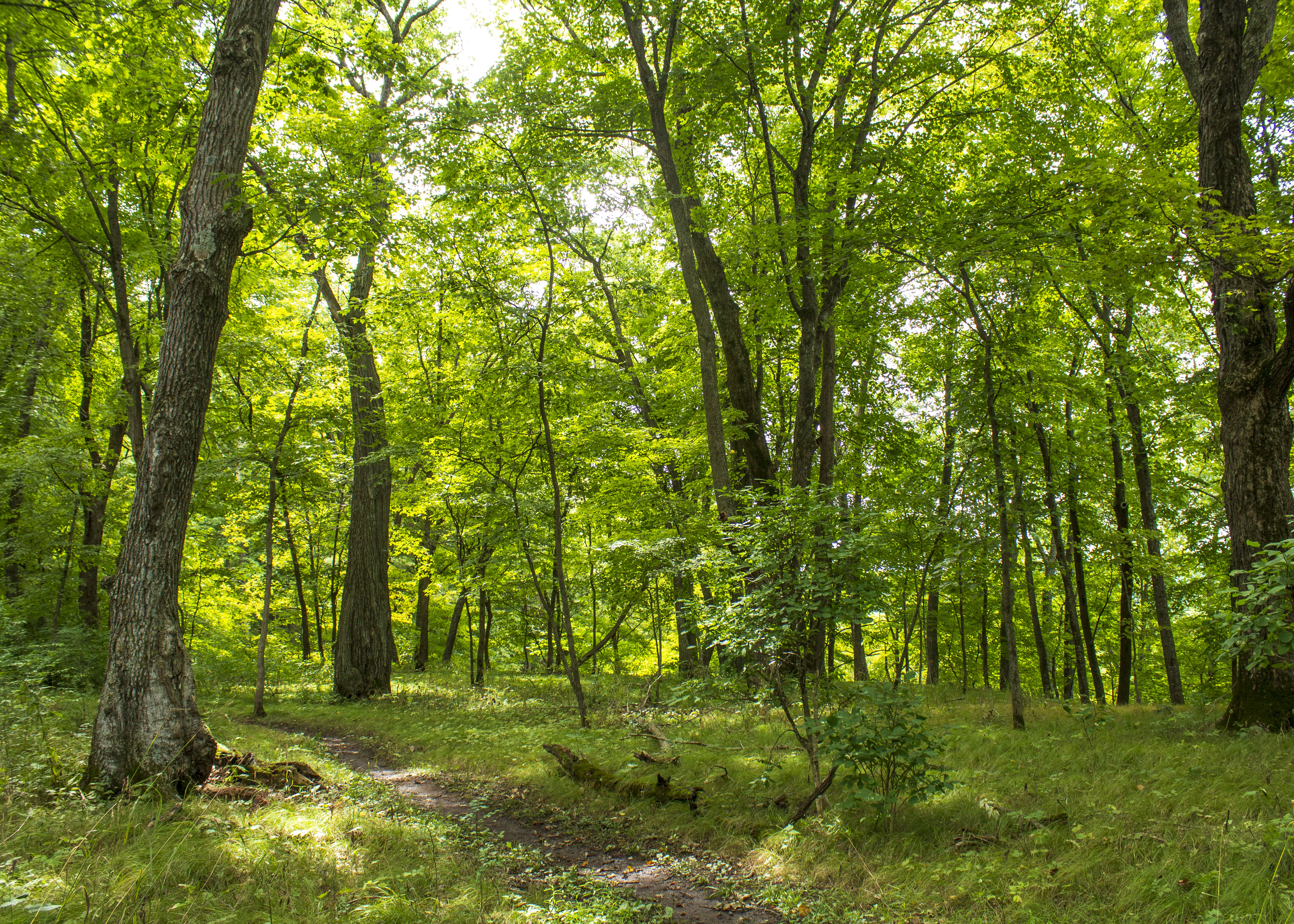
Explore the Ridge View Trail, Osceola Loop
The Osceola Loop of the Ridge View Trail winds through a dappled forest high above the St. Croix River.
Visitor Centers
Namekagon River Visitor Center
When open, visitors can view exhibits, pick up park publications, Junior Ranger booklets, and maps, and watch the park movie. Park rangers staff an information…
St. Croix River Visitor Center
Hours of operation are 10:00 am to 5:00 pm daily including all federal holidays. The St. Croix River Visitor Center is open seasonally, from mid-April…
Campgrounds
Namekagon District
67, primitive, Leave No Trace camp sites are located on the Namekagon River from Namekagon Dam to the confluence of the St Croix River and…
Middle St. Croix
57, primitive, Leave No Trace campsites are located on the St. Croix River from Riverside Landing to Highway 8 at St. Croix Falls - Taylors…
Lower St. Croix District
19, primitive, Leave No Trace campsites are located on this reach from below Highway 8 down to the Boom Site Landing near Stillwater, Minnesota. An…
Nearby National Park Service Sites
These sites are ordered by straight-line distance between NPS reference coordinates. This is useful for comparison, but it is not road mileage. Trails, parkways, rivers, and distributed units may extend far from their reference point.
Nearby Cities for Trip Planning
These cities are ordered by straight-line distance from the NPS reference coordinate. They are comparison starting points, not official park gateways or road-distance estimates. Trails and other distributed units may extend far beyond this reference point.
🗺️ Guided Tours & Experiences
Discover Saint Croix National Scenic Riverway with expert-led tours
We earn a commission if you make a purchase, at no additional cost to you.
🏨 Search Lodging for Saint Croix National Scenic Riverway
Review lodging results matching this park or site name
We earn a commission if you make a purchase, at no additional cost to you.