

About Mount Rushmore National Memorial
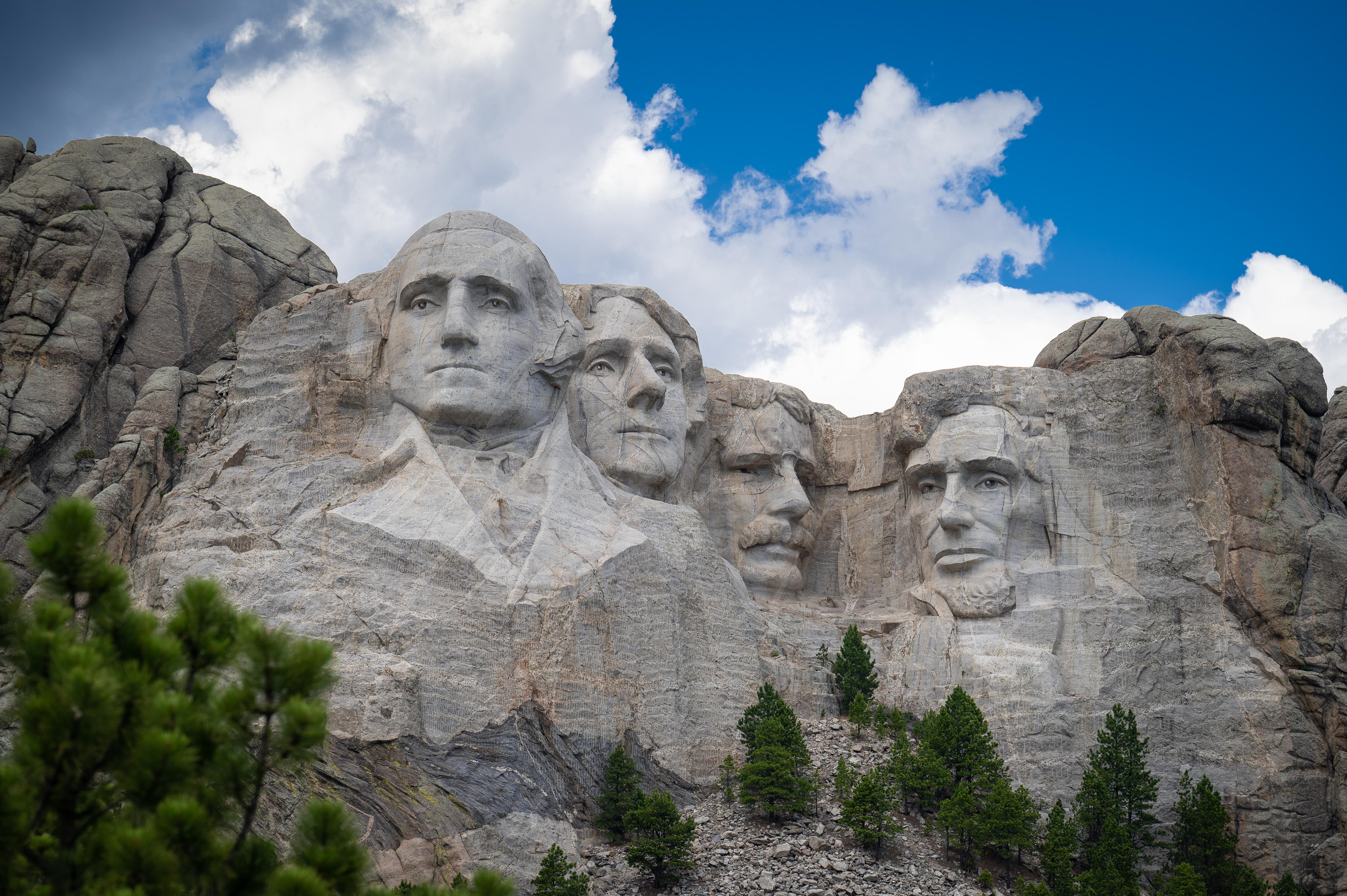
Majestic figures of George Washington, Thomas Jefferson, Theodore Roosevelt and Abraham Lincoln, surrounded by the beauty of the Black Hills of South Dakota, tell the story of the birth, growth, development and preservation of this country. From the history of the first inhabitants to the diversity of America today, Mount Rushmore brings visitors face to face with the rich heritage we all share.
Plan a Visit
Core visitor information on this page is sourced from the National Park Service. NPD proximity sections use NPS reference coordinates and straight-line distance. Local source bundle updated Sep 27, 2026. View the official NPS page.
Weather & Conditions
Weather at Mount Rushmore can be highly variable in any season. Summer high temperatures range from 70 to 100 degrees Fahrenheit. Fall high temperatures range from 45 to 80 degrees Fahrenheit. Winter high temperatures range from 20 to 40 degrees Fahrenheit. Spring high temperatures range from 30 to 70 degrees…
NPS Reference Location
Park state / territory membership: South Dakota. This map uses the National Park Service reference coordinate. It may represent an administrative or reference point rather than a park entrance, trailhead, visitor center, or the nearest access point. Use the official NPS directions below when planning travel.
Operating Hours
Weather permitting, the grounds at Mount Rushmore are open every day of the year. The Information Center, Visitor Center, Gift Shop and Carvers' Cafe are open every day except December 25th.
Activities
Current Alerts
The Sculptor’s Studio may close temporarily during periods of high heat to protect visitors and staff. Please check with park staff upon arrival for the most up‑to‑date information on whether the Studio is open or closed.
Getting There
Visitors traveling by car from the East use Exit 61 off I-90 and follow the signs for Mount Rushmore National Memorial. Coming from the West use exit 57 exit at Rapid City and follow U.S. Highway 16 southwest to Keystone and then Highway 244 to Mount Rushmore. Visitors coming from the south should follow Highway 385 north to Highway 244, which is the road leading to the Memorial.
View Official DirectionsContact & Address
The NPS-listed address may be an administrative office, visitor center, mailing/contact location, or other park facility rather than a park entrance.
Topics & Themes
Things To Do
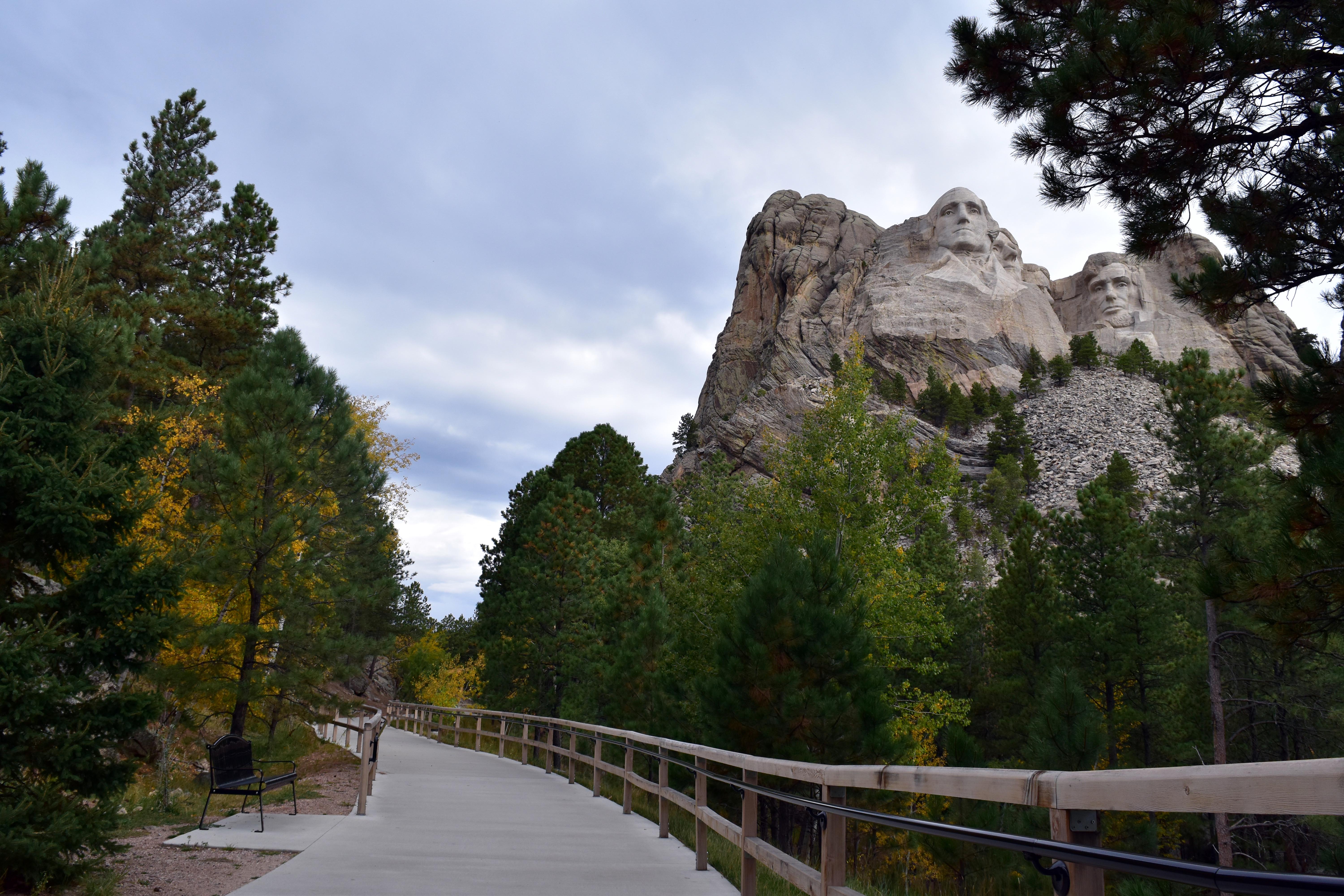
Walk the Presidential Trail
The Presidential Trail provides changing views of Mount Rushmore as you travel through ponderosa pine forest and granite outcrops.

Visit The Sculptor's Studio
Visit the Sculptor's Studio to learn more about Gutzon Borglum, his scale model and the process of carving Mount Rushmore.

Visit The Lincoln Borglum Visitor Center
View exhibits and a 14-minute film describing the reasons for and methods used in carving Mount Rushmore.
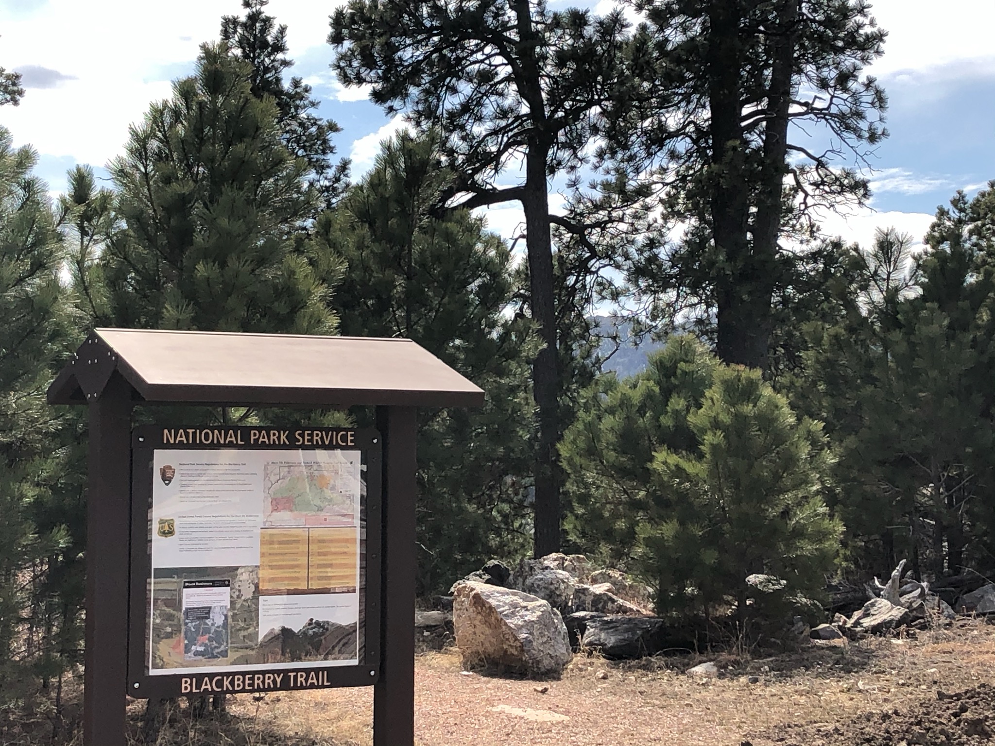
Hiking The Blackberry Trail
Looking to experience the natural surroundings of the Black Hills? Try hiking the Blackberry Trail.
Visitor Centers
Lincoln Borglum Visitor Center
Park information, film, museum exhibits and a bookstore. Opens at 8:00 am daily (closed December 25th). Late May through mid-August closes at 10:00 pm. Mid-August…
Information Center
Find basic information about the Memorial as well as information about the local area. Opens at 8:00 am daily (closed December 25th). Late May through…
Nearby National Park Service Sites
These sites are ordered by straight-line distance between NPS reference coordinates. This is useful for comparison, but it is not road mileage. Trails, parkways, rivers, and distributed units may extend far from their reference point.