
About Lake Meredith National Recreation Area
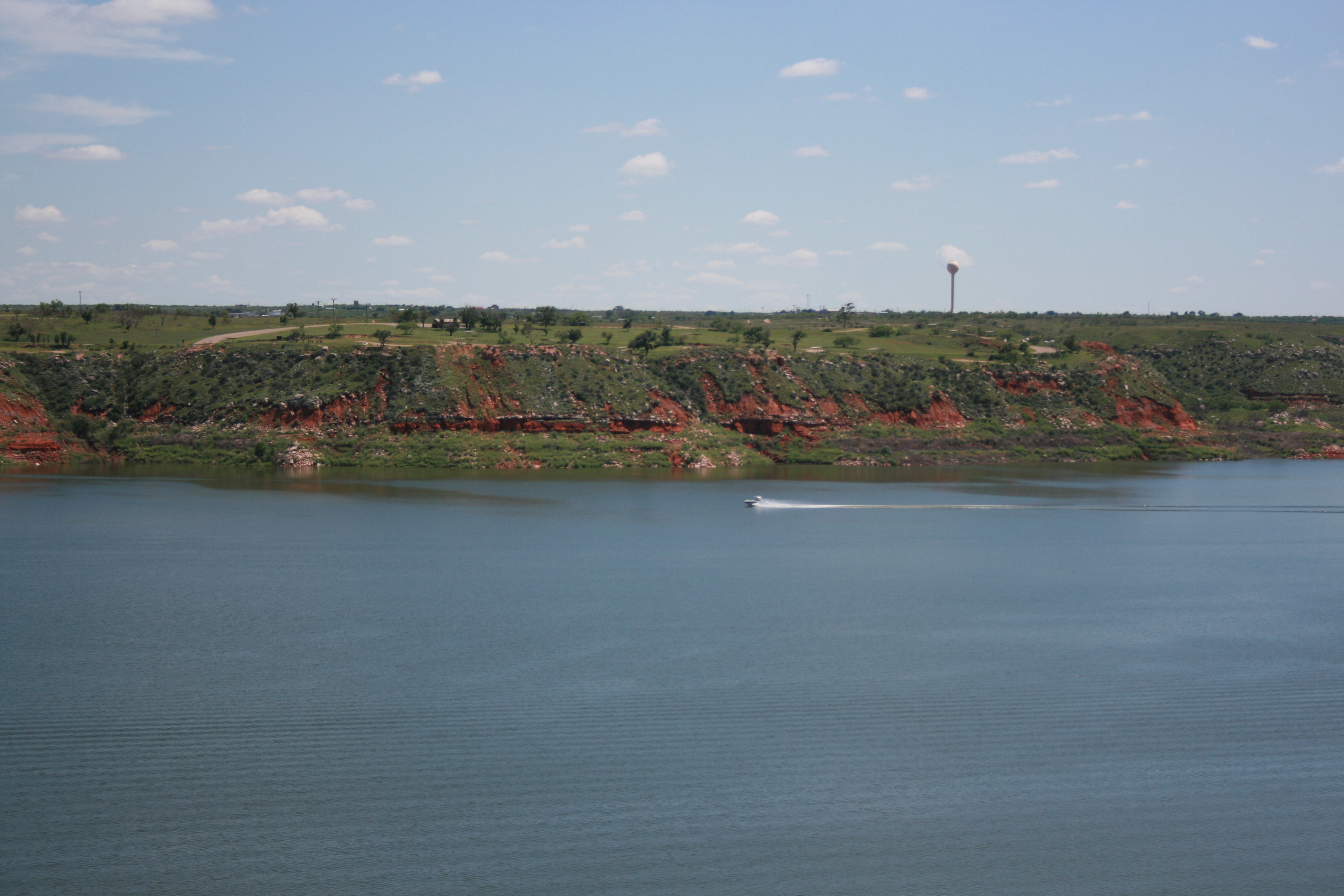
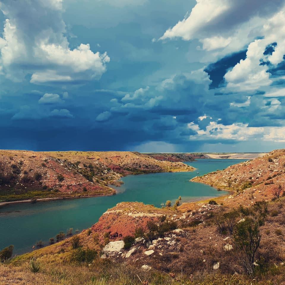
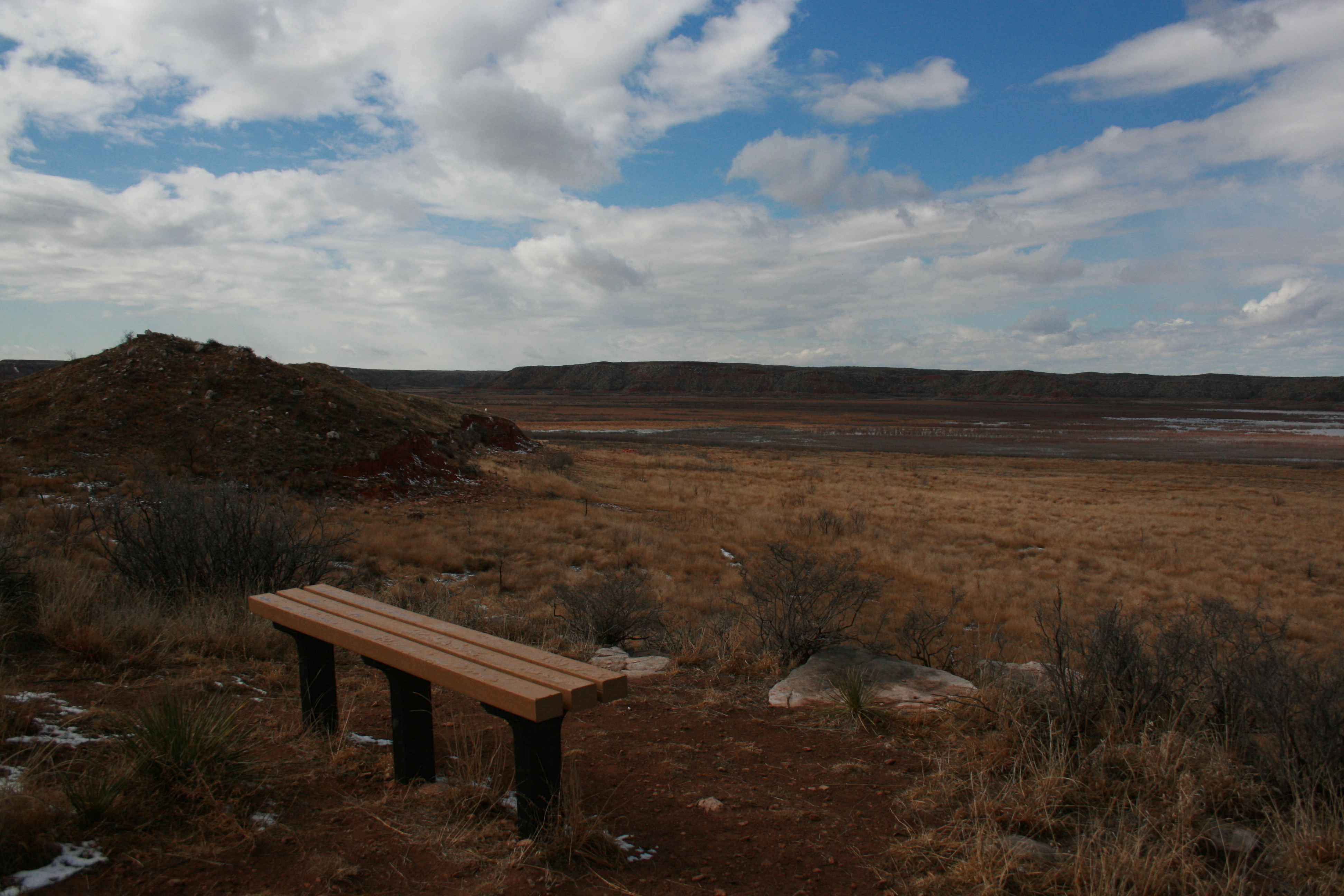
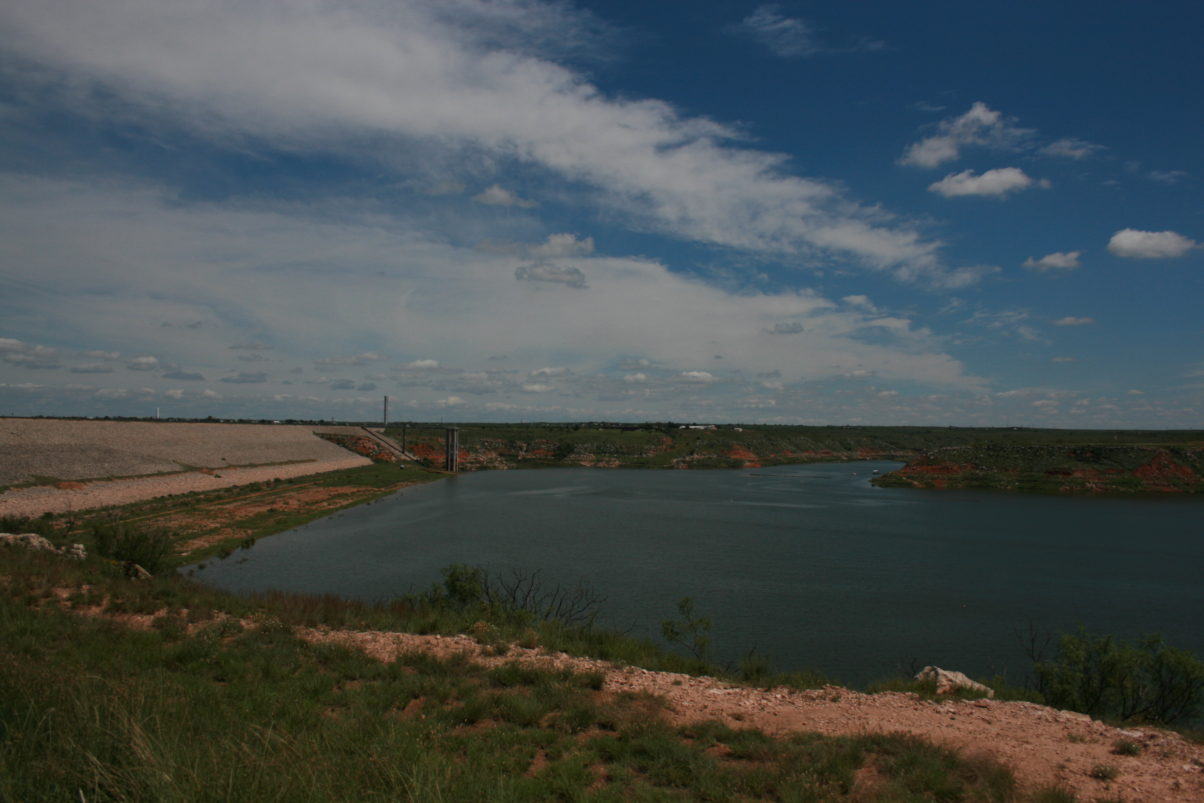
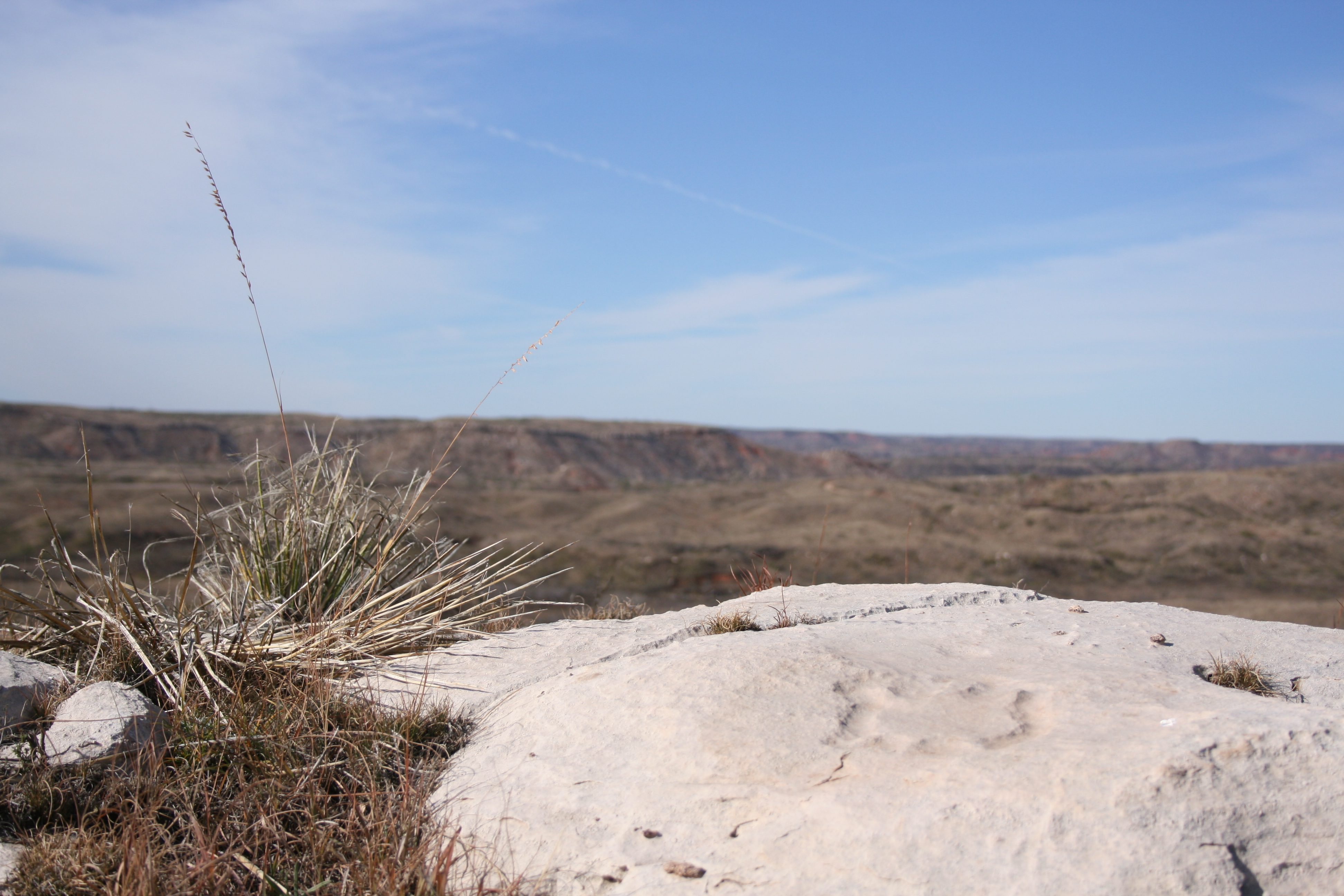
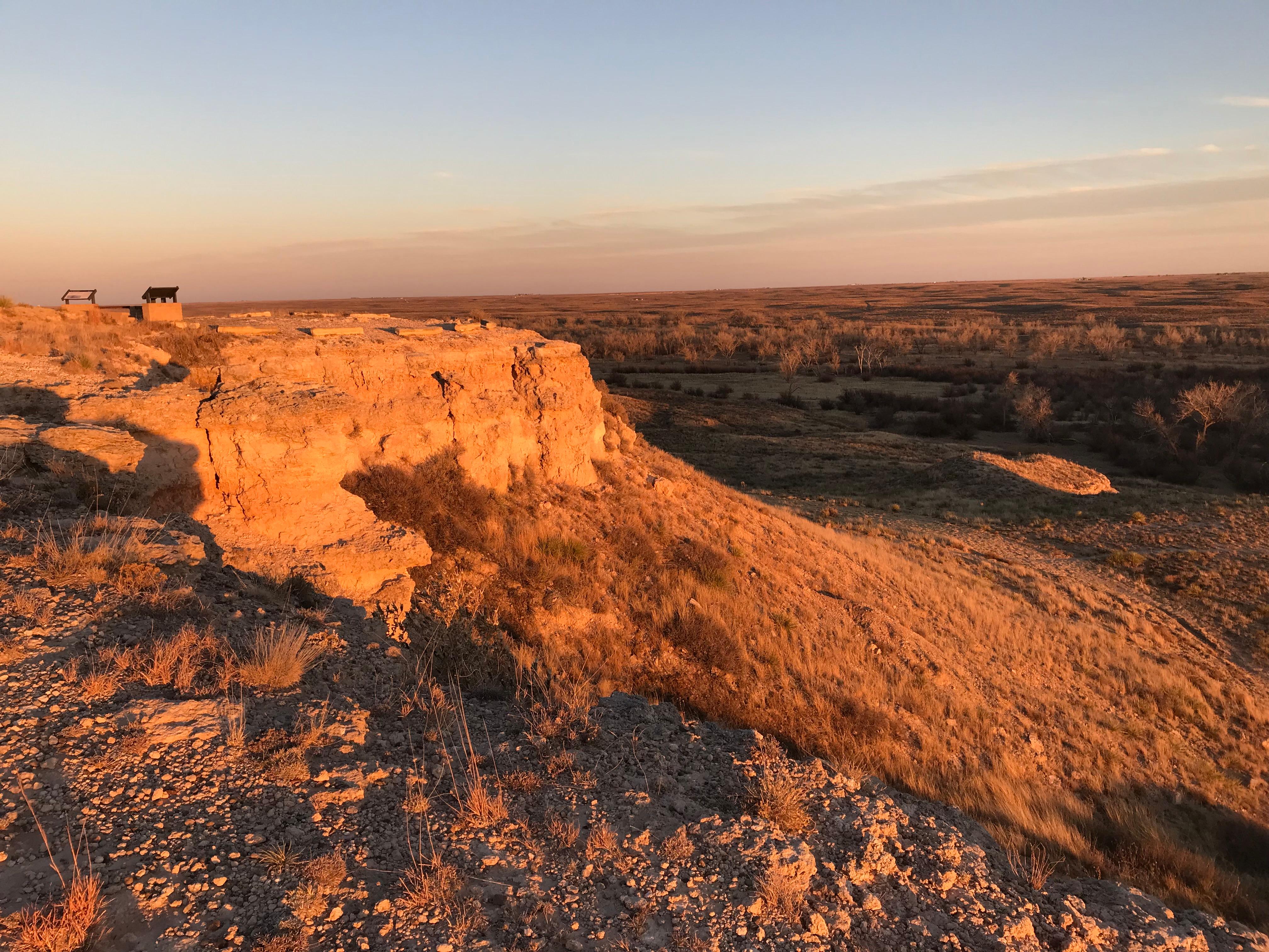
Set within the wide‑open Texas Plains, Lake Meredith National Recreation Area offers a peaceful retreat in the heart of rugged grasslands. Over thousands of years, the Canadian River carved dramatic 200‑foot canyons—known as breaks—that now frame the lake in striking layers of color and texture. These quiet coves sustain an unexpectedly rich array of life, providing seven distinct habitats.
Plan a Visit
Core visitor information on this page is sourced from the National Park Service. NPD proximity sections use NPS reference coordinates and straight-line distance. Local source bundle updated Sep 27, 2026. View the official NPS page.
Weather & Conditions
This area of the Texas Panhandle has a wide variety of weather conditions throughout the year. Winters are cold and windy, with summers being hot and dry. Weather can change rapidly on Lake Meredith. It is usually a good idea to check the weather report and dress accordingly.
NPS Reference Location
Park state / territory membership: Texas. This map uses the National Park Service reference coordinate. It may represent an administrative or reference point rather than a park entrance, trailhead, visitor center, or the nearest access point. Use the official NPS directions below when planning travel.
Operating Hours
The National Recreation Area is open 24 hours a day, 365 days a year.
Activities
Current Alerts
The National Park Service announces that Federal Highway Administration contractors will begin roadway and pavement maintenance at Sanford Yake Campground starting Monday, July 13, 2026. This project will include chip seal, micro seal, micro surfacing, and pavement striping throughout key areas of Lake Meredith National Recreation Area. Visitors to Alibates Flint Quarries National Monument and Lake Meredith National Recreation Area are encouraged to follow all posted message boards and traffic instructions.
Road construction work to occur Monday thru Friday between the hours of 7:00 am and 8:00 pm, weather permitting. Expect delays of up to 30 minutes during active construction periods.
The South Turkey Creek Trail, located near the Harbor Bay Campground Area, is currently open for hiking for the first mile; however, the remainder of the trail is underwater and cannot be safely accessed.
Each applicant is required to complete a new "Application For Special Use Permit" prior to any new permit being issued
Getting There
There are several ways to arrive at Lake Meredith. If you are coming from Amarillo, exit Loop 335 North, then exit Hwy 136 North to Fritch, Texas. Headquarters is located at 419 E. Broadway in Fritch. If coming from the North, take FM 1913 from the Dumas Highway or FM 1913 from US 287. The Amarillo Airport is approximately 35 miles south of Lake Meredith, if traveling by air. Rental cars are available in Amarillo.
View Official DirectionsContact & Address
The NPS-listed address may be an administrative office, visitor center, mailing/contact location, or other park facility rather than a park entrance.
Topics & Themes
Visitor Centers
Park Headquarters
Visitors to Lake Meredith National Recreation Area can stop by and pick up maps and guides for the area. Headquarters is also where ORV permits…
Campgrounds
Fritch Fortress
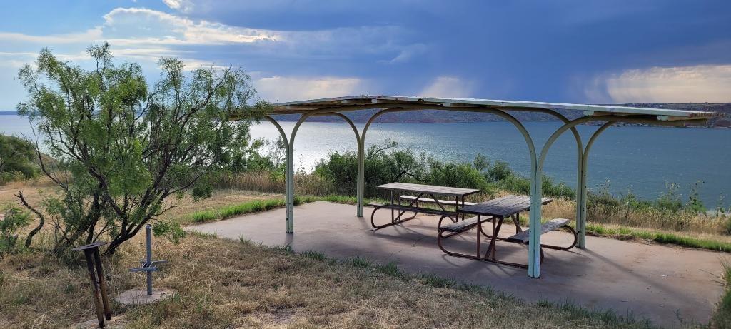
A caprock campground, overlooking Lake Meredith located on Fritch Fortress Road. Open for boaters, campers, swimmers, and other approved water activities. Picnic tables, shade shelters,…
Blue West Campground
A caprock campground, overlooking Lake Meredith. Access to shoreline is difficult. This campground is located north of the lake off FM Road 1913. These campgrounds…
Chimney Hollow Campground
This remote and primitive area is located near Blue West. It is tucked in the Blue Creek embankment, which provides protection from prevailing winds. There…
Harbor Bay Campground
This campground is located outside of Fritch at the end of Lakeview Drive off Hwy. 136. The area features both designated sites and open meadow…
Cedar Canyon Campground
This small cove lies between Fritch Fortress and Sanford-Yake campgrounds. The area features beach camping with no individual campsites. This campground can become soft during…
McBride Canyon and Mullinaw Creek Campgrounds
These areas are located south of the lake off of State Highway 136. There are large cottonwood trees that provide shade. The Mullinaw Creek area…
Plum Creek Campgrounds
Four camping grounds are available in this region of Lake Meredith Recreation Area. There are large cottonwoods for shade. These cottonwoods turn various colors of…
Bugbee Canyon
This area is located near the Bugbee community off FM 3395. Shoreline fishing is popular and there are a number of shoreline birds to view.…
Blue Creek
This camping area is an off-road vehicle and horseback riding area on the northwest side of the lake off FM 1913. There is no drinking…
Rosita Flats
This campground consists of dispersed camping along the Canadian River in one of the park's ORV-use areas. ORV operators must have state of Texas Off-Highway…
Sanford Yake Campground
A caprock campground, overlooking Lake Meredith. 10 RV sites with electric and water hookups available. Reservations can be made by calling 806-865-3131. Picnic tables, shade…
Nearby National Park Service Sites
These sites are ordered by straight-line distance between NPS reference coordinates. This is useful for comparison, but it is not road mileage. Trails, parkways, rivers, and distributed units may extend far from their reference point.
Nearby Cities for Trip Planning
These cities are ordered by straight-line distance from the NPS reference coordinate. They are comparison starting points, not official park gateways or road-distance estimates. Trails and other distributed units may extend far beyond this reference point.
🗺️ Guided Tours & Experiences
Discover Lake Meredith National Recreation Area with expert-led tours
We earn a commission if you make a purchase, at no additional cost to you.
🏨 Search Lodging for Lake Meredith National Recreation Area
Review lodging results matching this park or site name
We earn a commission if you make a purchase, at no additional cost to you.