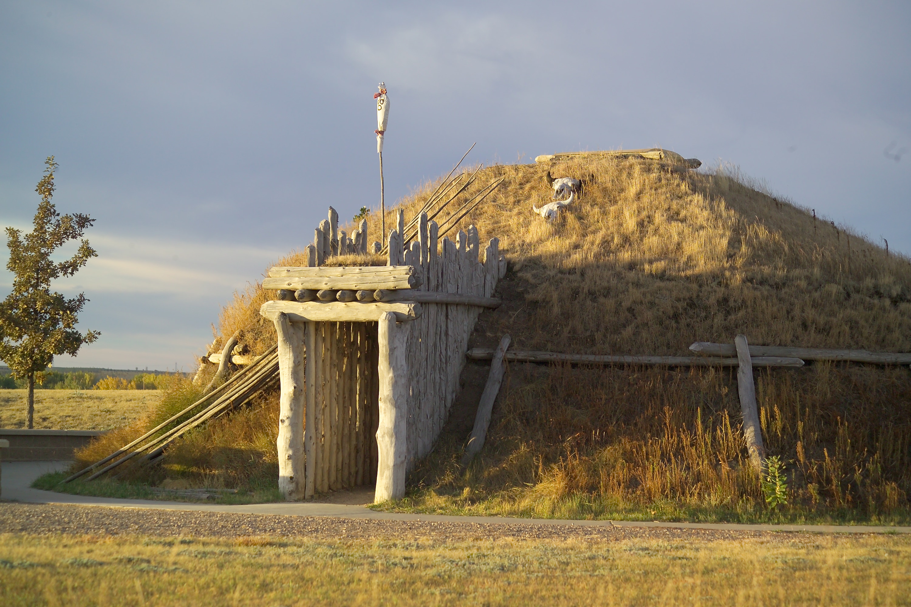


About Knife River Indian Villages National Historic Site
Earthlodge people hunted bison and other game, but were in essence farmers living in villages along the Missouri and its tributaries. The site was a major Native American trade center for hundreds of years prior to becoming an important market place for fur traders after 1750.
Plan a Visit
Core visitor information on this page is sourced from the National Park Service. NPD proximity sections use NPS reference coordinates and straight-line distance. Local source bundle updated Sep 27, 2026. View the official NPS page.
Weather & Conditions
Summers are warm and sunny with temperatures occasionally reaching 100 degrees F and frequent afternoon thunderstorms. Winters are invigorating, with extremely cold temperatures as low as -35 degrees F. High winds and sunny skies are common in winter. Snow is sporadic in the relatively dry climate, but blizzards are common.
NPS Reference Location
Park state / territory membership: North Dakota. This map uses the National Park Service reference coordinate. It may represent an administrative or reference point rather than a park entrance, trailhead, visitor center, or the nearest access point. Use the official NPS directions below when planning travel.
Operating Hours
Knife River Indian Villages National Historic Site is open from sunrise to sunset, every day of the year. Even when visitor center is closed, the park itself remains open.
Activities
Getting There
Plane: Closest Commercial Airports are Bismarck (60 miles) Minot (85 miles) Dickinson (102 miles). Hazen, ND (15 miles from site) has an airport for small planes. Car: One-half mile north of Stanton, ND on County Road 37. One hour northwest of Bismarck, ND and one and a half hours southwest of Minot, ND. Public Transportation Charter and tour bus parking available at Visitor Center parking lot.
View Official DirectionsContact & Address
The NPS-listed address may be an administrative office, visitor center, mailing/contact location, or other park facility rather than a park entrance.
Topics & Themes
Things To Do
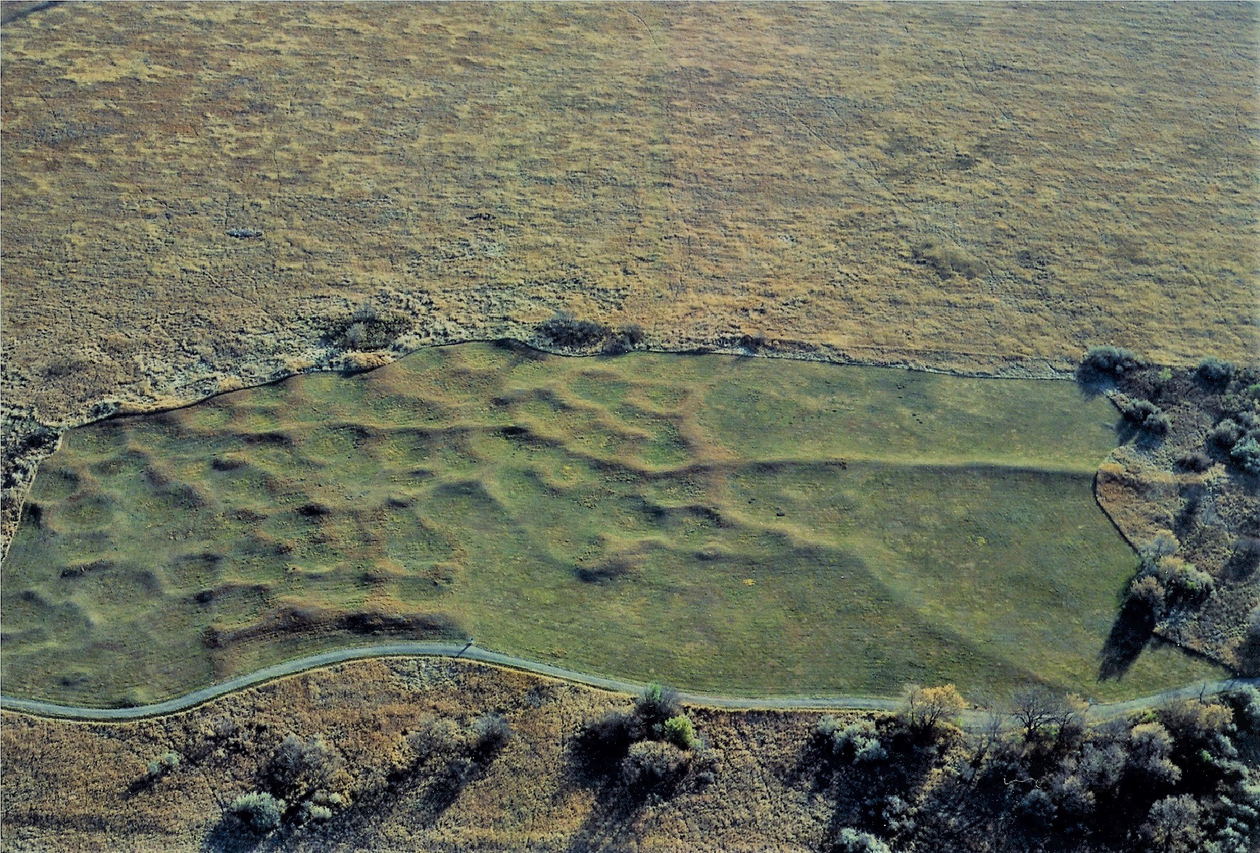
Walk the Village Trail
Walk down the Village Trail (1.3 mi/2.1km) and see the remains of the Awatixa Xi'e Village (Lower Hidatsa Site) and…
Visitor Centers
Knife River Indian Villages National Historic Site Visitor Center
The Visitor Center is located off Highway 37 just north of the city of Stanton, ND. The Visitor Center’s entrance is in the shape of…
Nearby National Park Service Sites
These sites are ordered by straight-line distance between NPS reference coordinates. This is useful for comparison, but it is not road mileage. Trails, parkways, rivers, and distributed units may extend far from their reference point.