

About Gauley River National Recreation Area
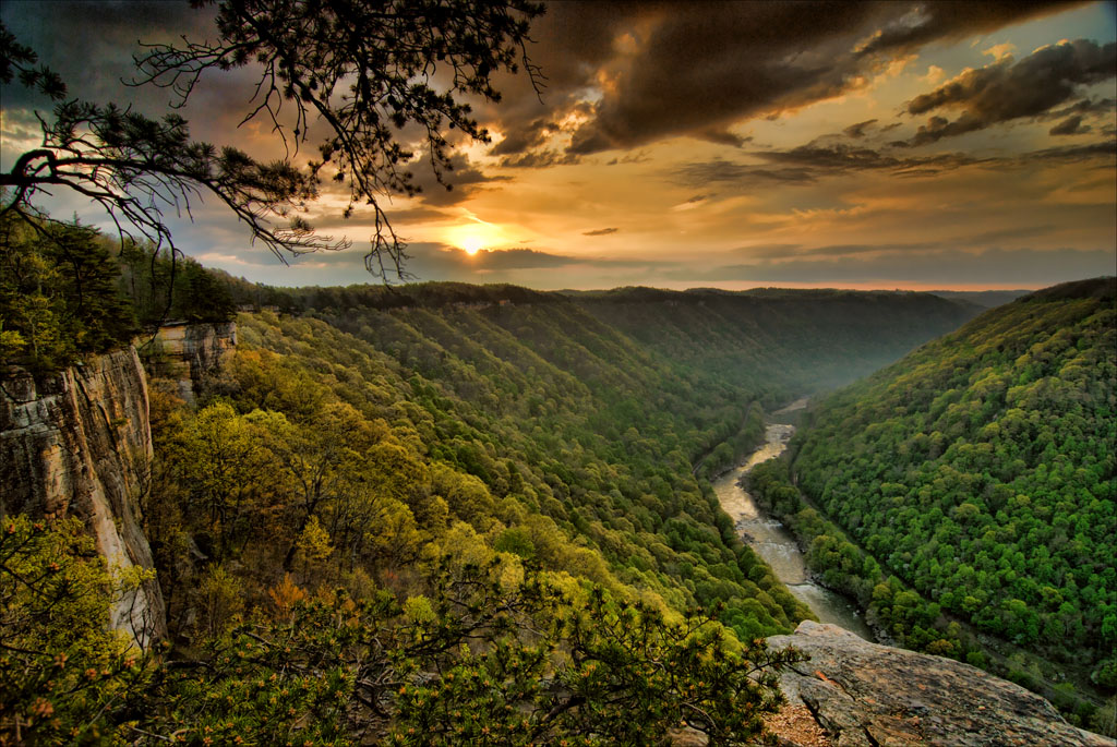
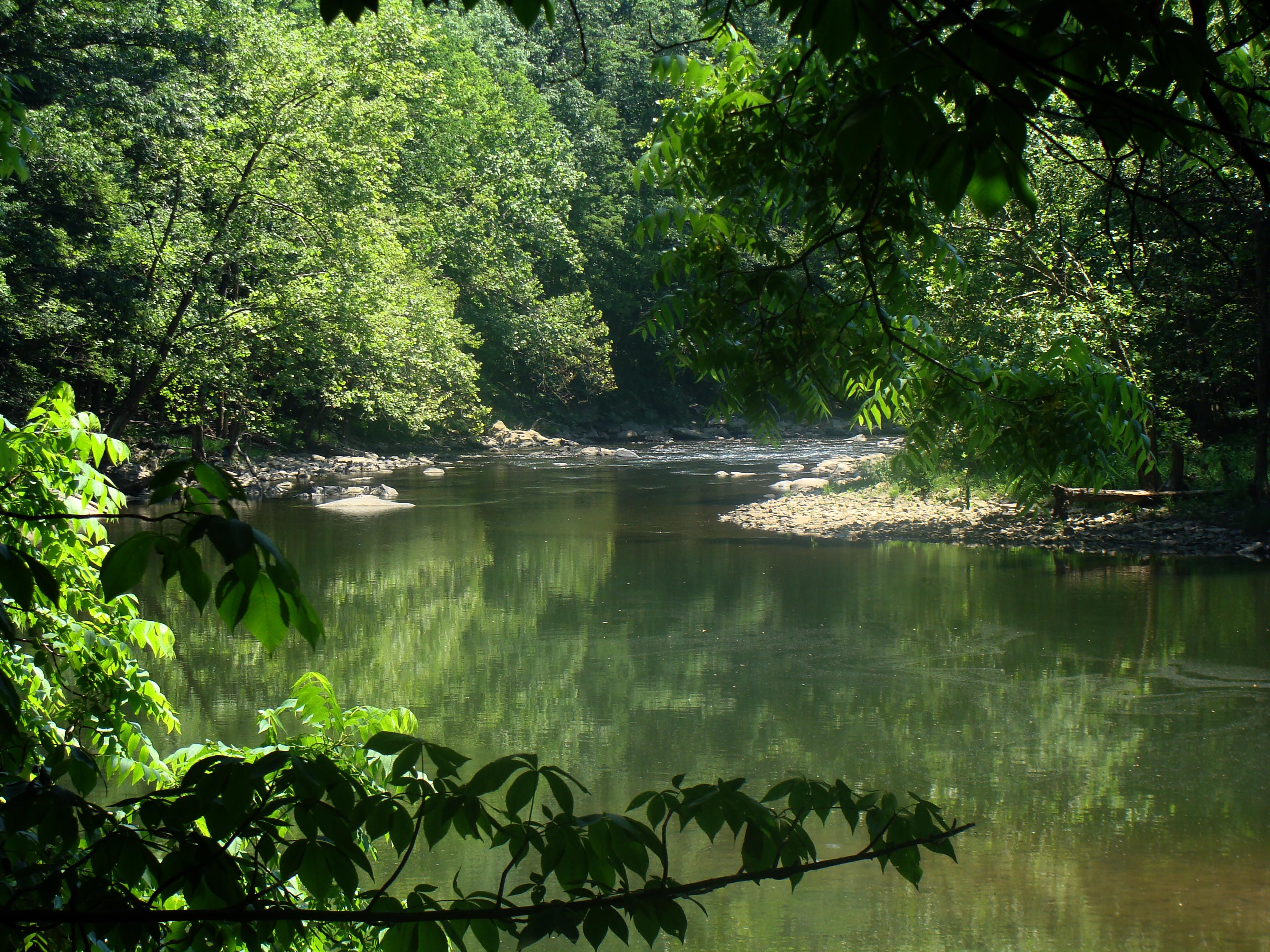
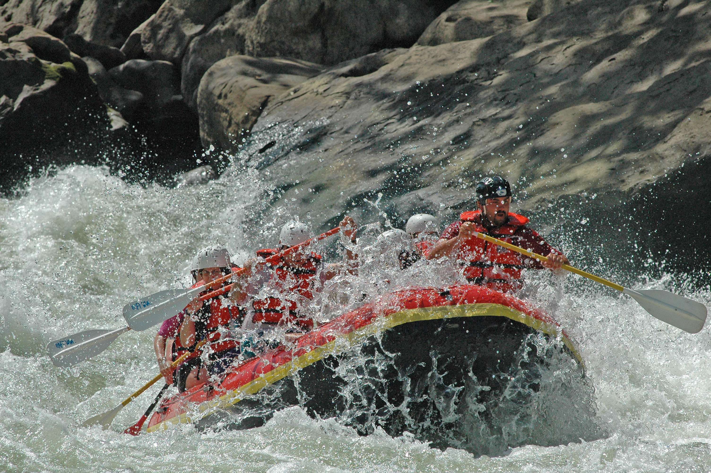
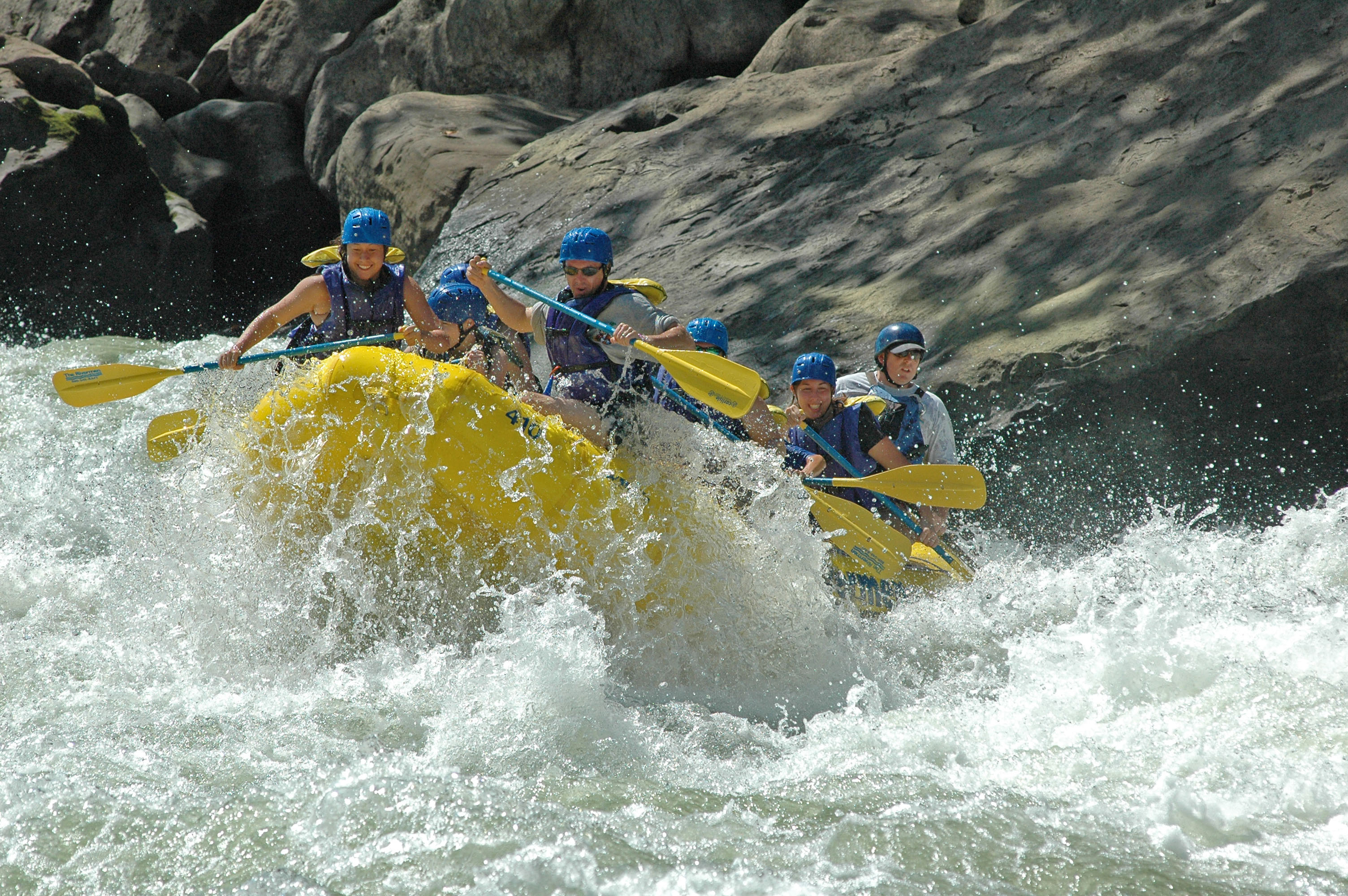
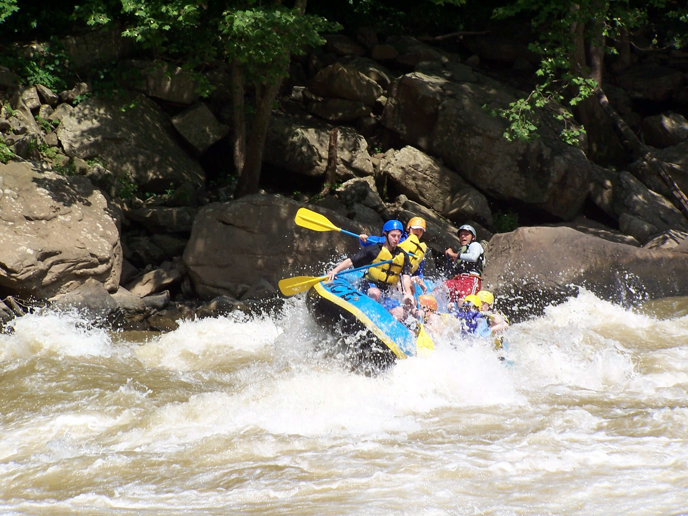
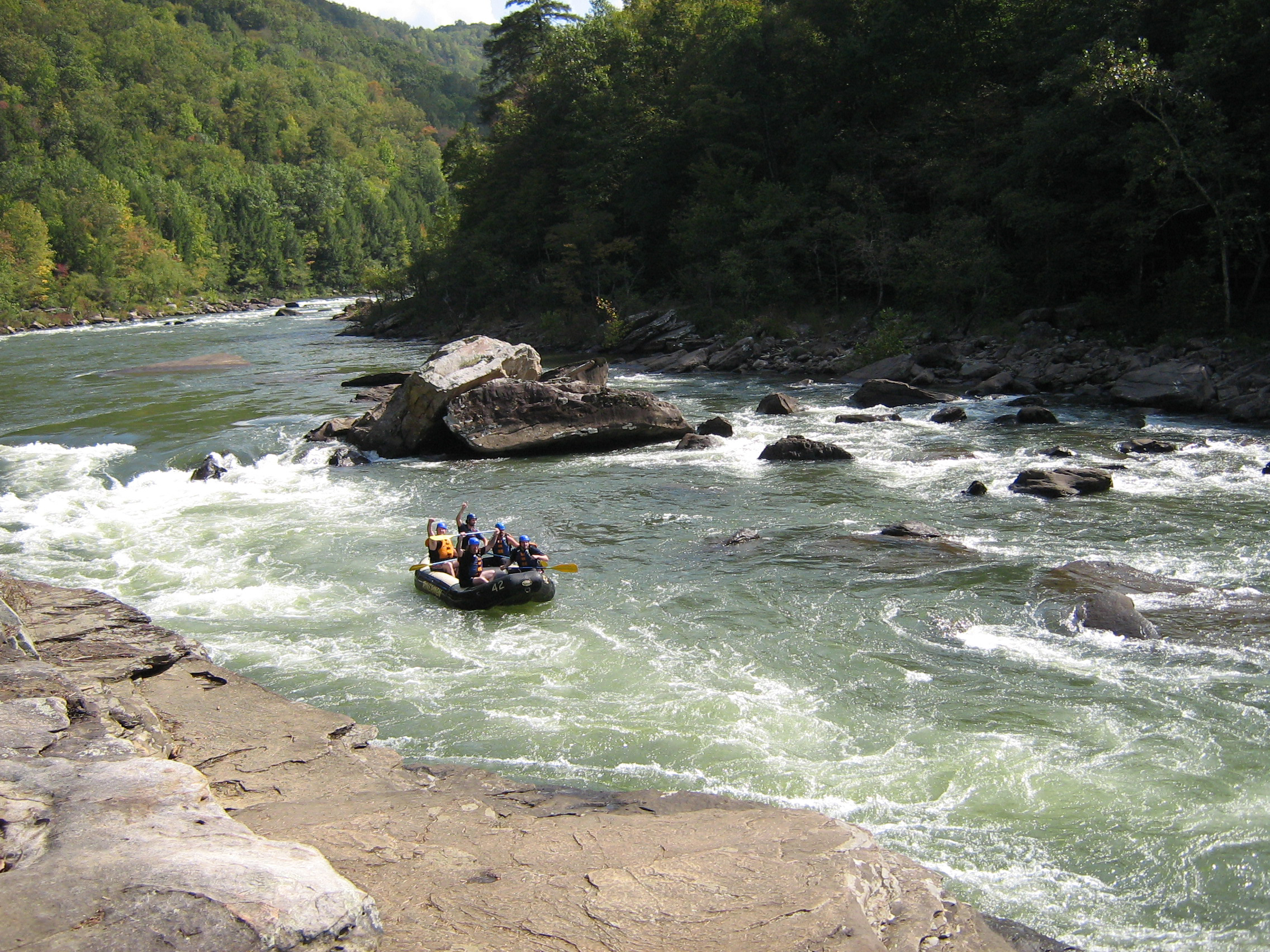
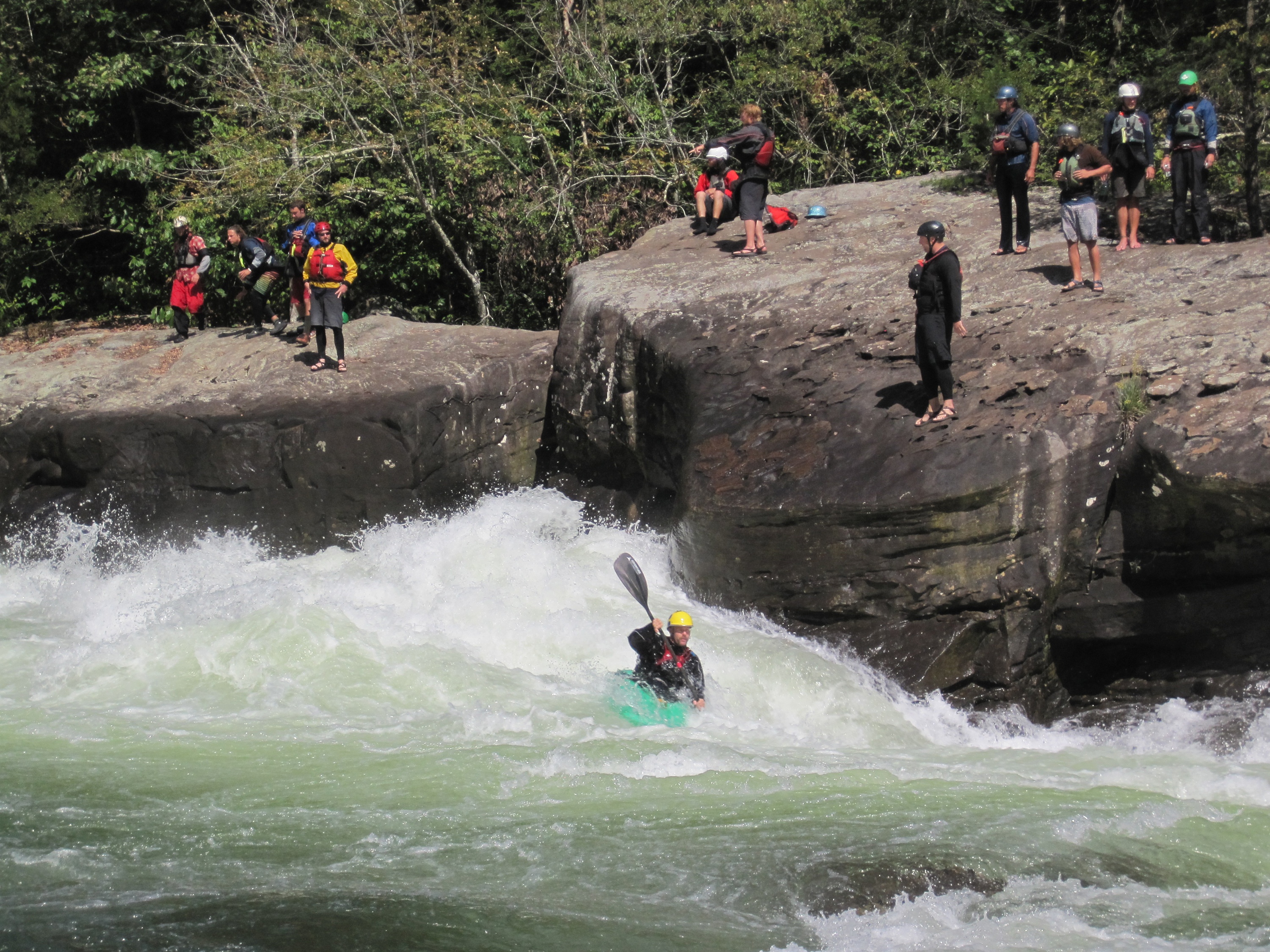
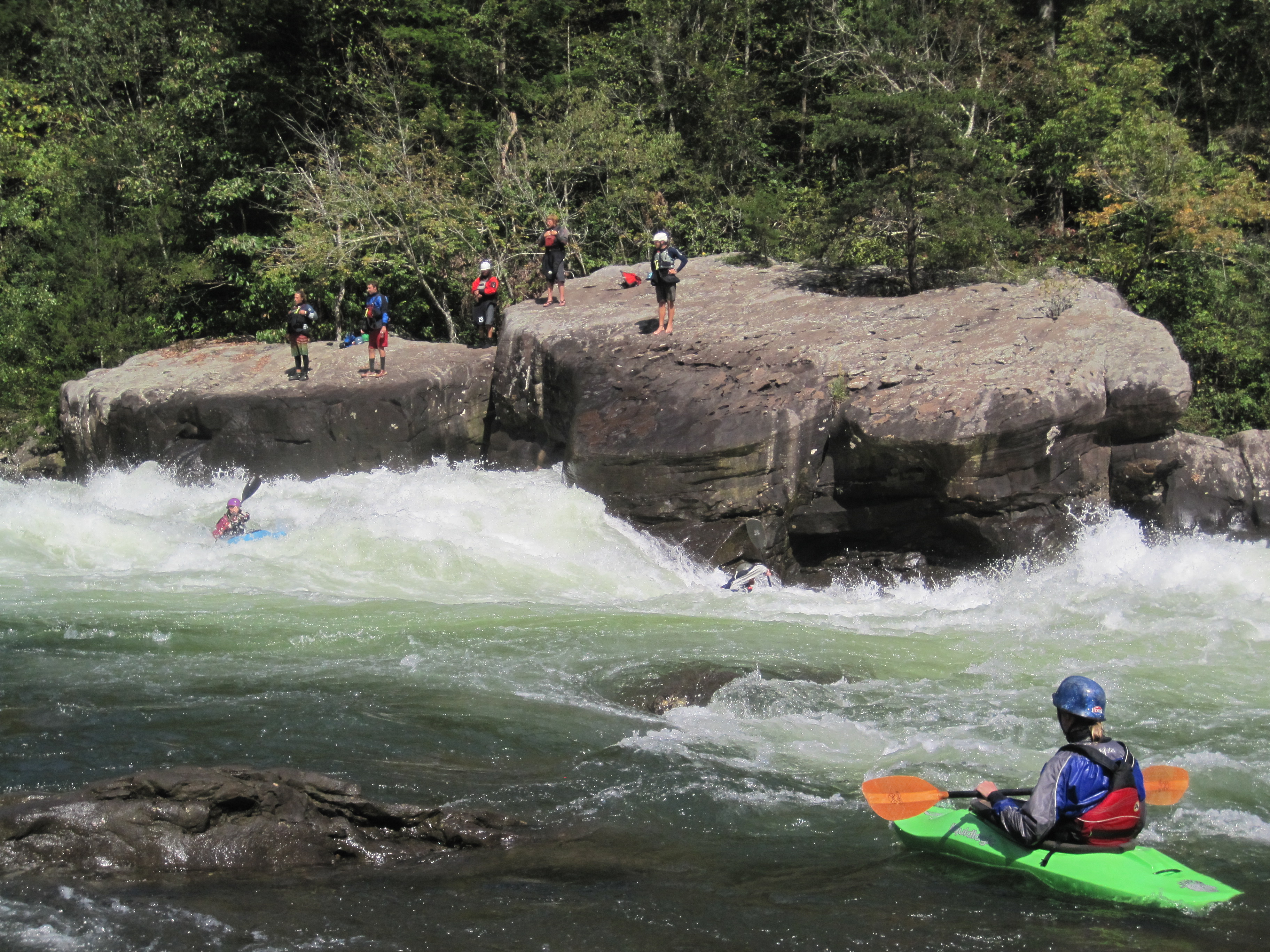
The 25 miles of free-flowing Gauley River and the six miles of the Meadow River pass through scenic gorges and valleys containing a wide variety of natural and cultural features. The Gauley River contains several class V+ rapids, making it one of the most adventurous white water boating rivers in the east.
Plan a Visit
Core visitor information on this page is sourced from the National Park Service. NPD proximity sections use NPS reference coordinates and straight-line distance. Local source bundle updated Sep 27, 2026. View the official NPS page.
Weather & Conditions
Weather in the Appalachian Mountains can be unpredictable and can change quickly. Always be prepared for the possibility of sudden storms. Weather in the mountains is often cooler and wetter than the surrounding area. On average, the warmest month is July. The maximum average precipitation also occurs in July.
NPS Reference Location
Park state / territory membership: West Virginia. This map uses the National Park Service reference coordinate. It may represent an administrative or reference point rather than a park entrance, trailhead, visitor center, or the nearest access point. Use the official NPS directions below when planning travel.
Operating Hours
The area is open year round. The official Gauley boating season is from early September through mid October. Boating is occasionally possible at other times, depending on water releases from Summersville Dam. There is no visitor center for Gauley River National Recreation Area. Please visit the Canyon Rim Visitor Center for New River Gorge National Park and Preserve for information.
Activities
Current Alerts
The Tailwaters Campground in Gauley River National Recreation Area, located below Summersville Dam, will temporarily close from September 11 through September 28 in order to allow for more parking and better river access during the busy Gauley season.
Getting There
Plane The largest airport is at Charleston, about 65 miles from Summersville. There are also small airports at Summersville and Beckley. Car The main entrance to Gauley River National Recreation Area is located off US Route 19 south of Summersville and north of Fayetteville, West Virginia. Turn off US Route 19 onto WV Route 129 toward Summersville Dam. Take the second left after you cross over the dam and follow the signs to Gauley River.
View Official DirectionsContact & Address
The NPS-listed address may be an administrative office, visitor center, mailing/contact location, or other park facility rather than a park entrance.
Topics & Themes
Visitor Centers
Canyon Rim Visitor Center
Canyon Rim Visitor Center is the closest visitor center to Gauley River National Recreation Area. The primary purpose of Canyon Rim Visitor Center is to…
Campgrounds
Gauley Tailwaters
The National Park Service offers primitive camping at Gauley Tailwaters, located just below Summersville Dam. From Route 19 at Mt. Nebo, take Route 129 west…
Nearby National Park Service Sites
These sites are ordered by straight-line distance between NPS reference coordinates. This is useful for comparison, but it is not road mileage. Trails, parkways, rivers, and distributed units may extend far from their reference point.