
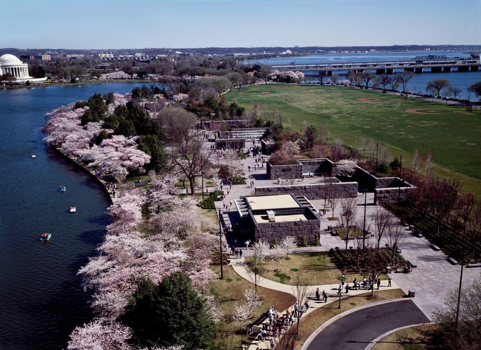
About Franklin Delano Roosevelt Memorial
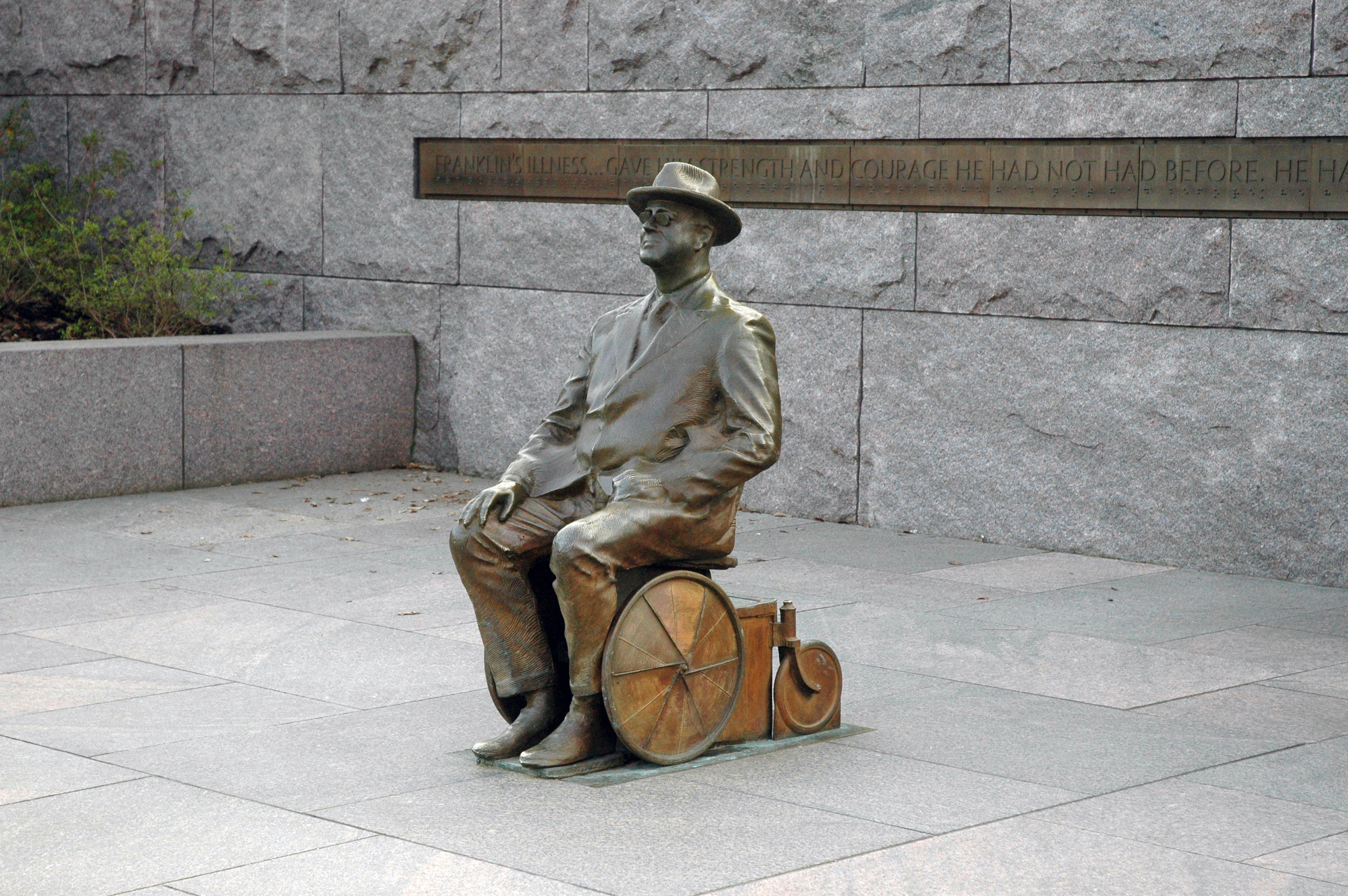
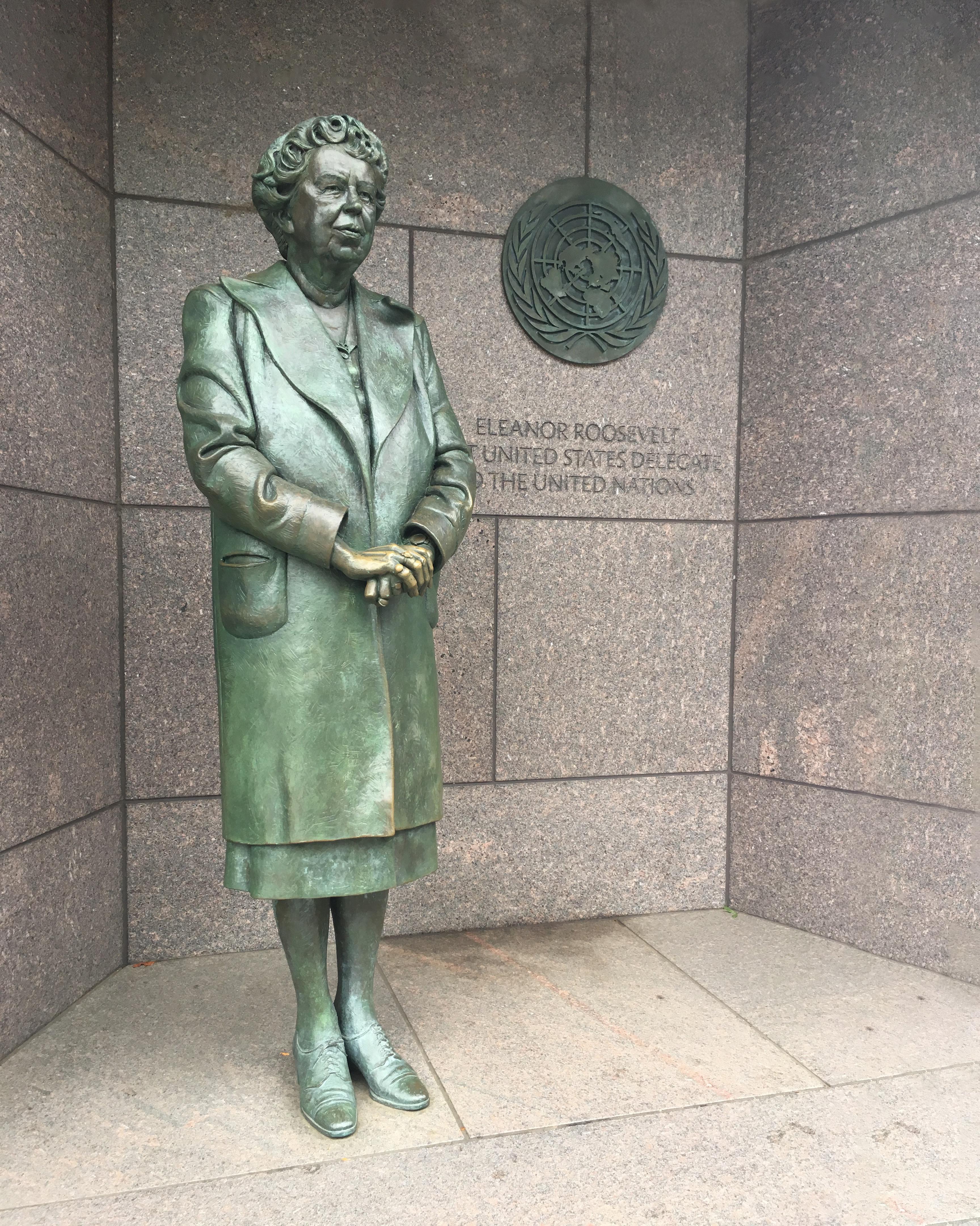
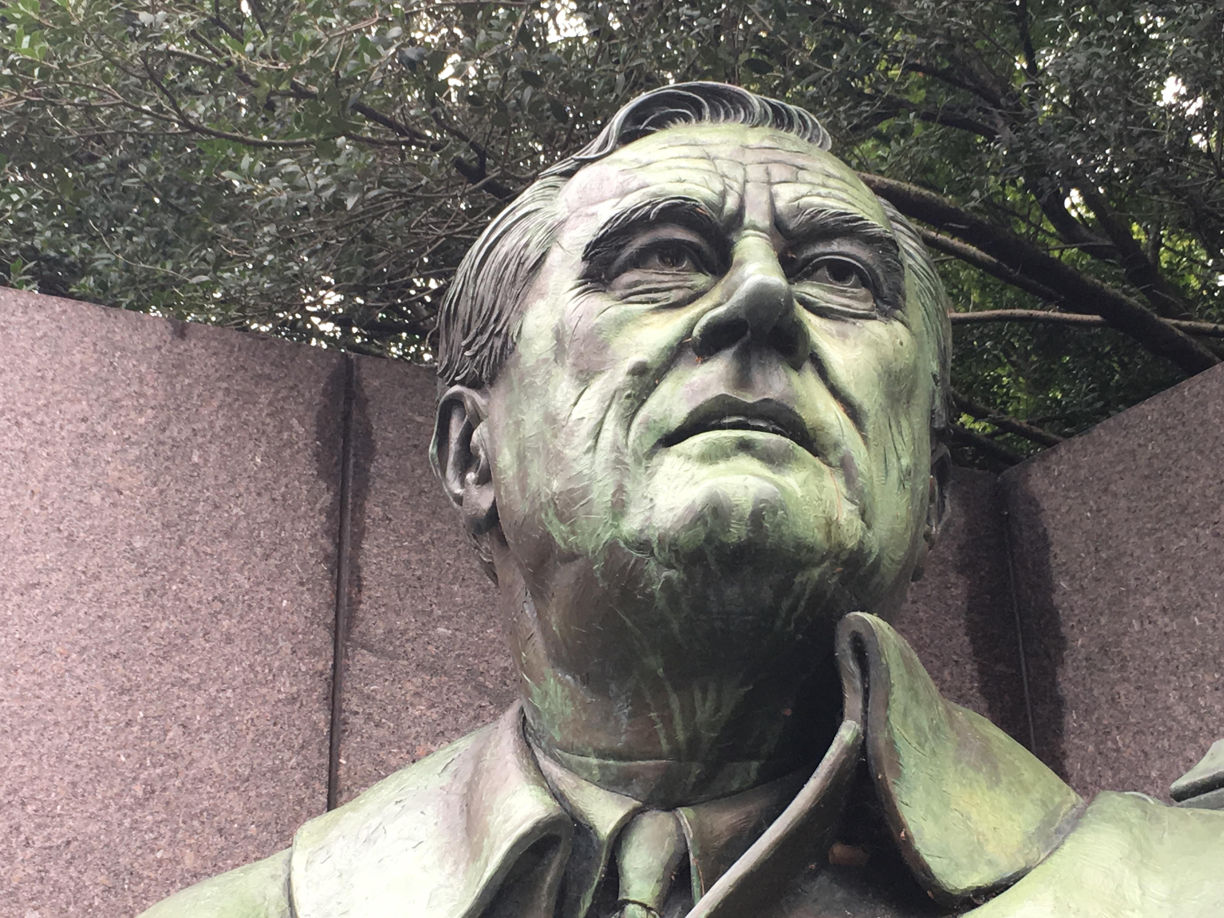
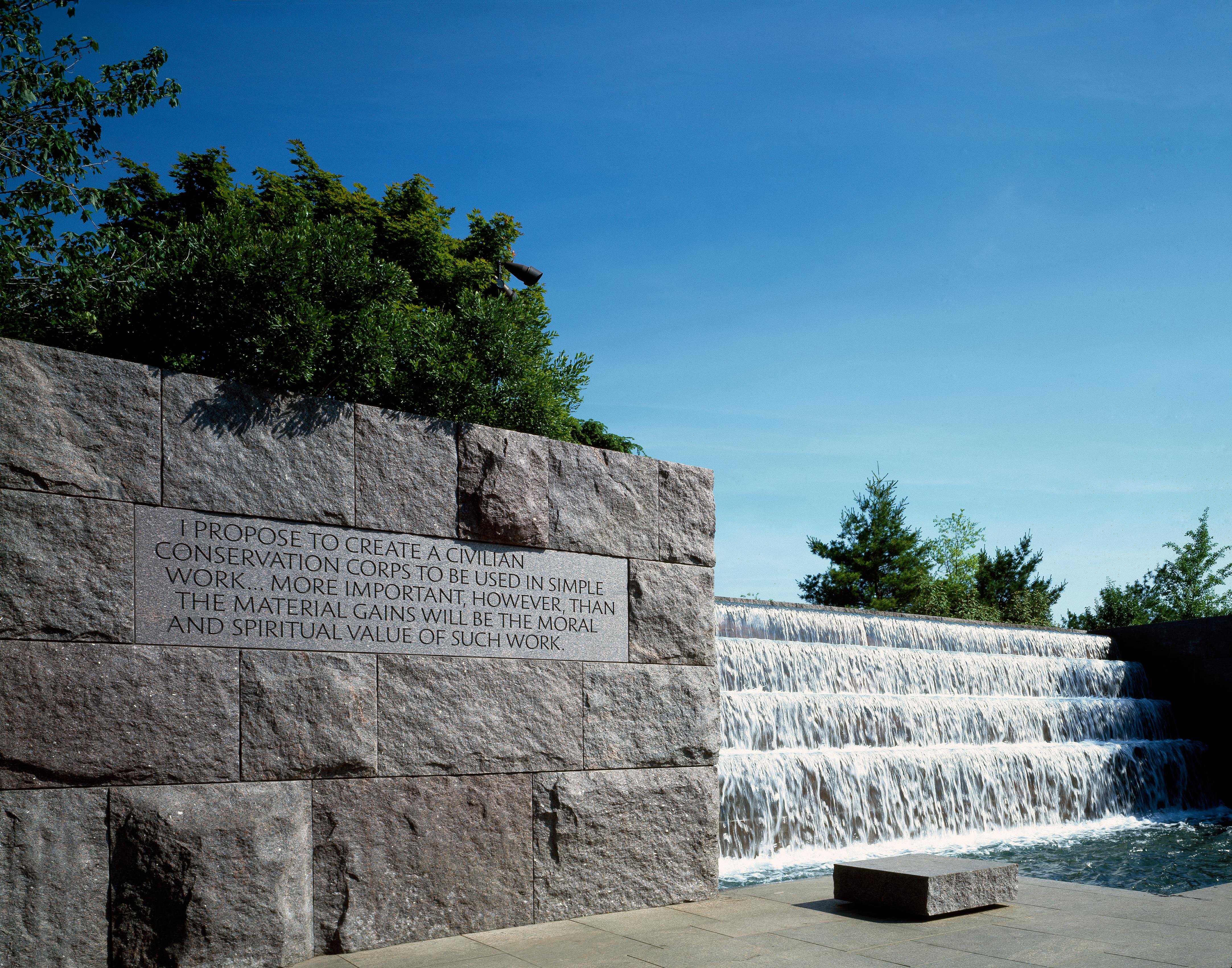
These words by President Franklin Delano Roosevelt ushered the United States into World War II and defined what it is to be an American. Stop by this secluded memorial and begin to understand the Roosevelt legacy.
Plan a Visit
Core visitor information on this page is sourced from the National Park Service. NPD proximity sections use NPS reference coordinates and straight-line distance. Local source bundle updated Sep 27, 2026. View the official NPS page.
Weather & Conditions
Washington DC gets to see all four seasons. Humidity will make the temps feel hotter in summer and colder in winter. Spring (March - May) Temp: Average high is 65.5 degrees with a low of 46.5 degrees Summer (June - August) Temp: Average high is 86 degrees with a low…
NPS Reference Location
Park state / territory membership: District of Columbia. This map uses the National Park Service reference coordinate. It may represent an administrative or reference point rather than a park entrance, trailhead, visitor center, or the nearest access point. Use the official NPS directions below when planning travel.
Operating Hours
There are no Rangers on duty at this site (except for special events). The United States Park Police are on duty 24 hours a day.
Activities
Getting There
GPS Coordinates: 38.883625, -77.043868 Address: 400 West Basin Drive SW, Washington, D.C. Nearest Intersection: West Basin Drive SW & Ohio Drive. SW
View Official DirectionsContact & Address
The NPS-listed address may be an administrative office, visitor center, mailing/contact location, or other park facility rather than a park entrance.
Topics & Themes
Things To Do
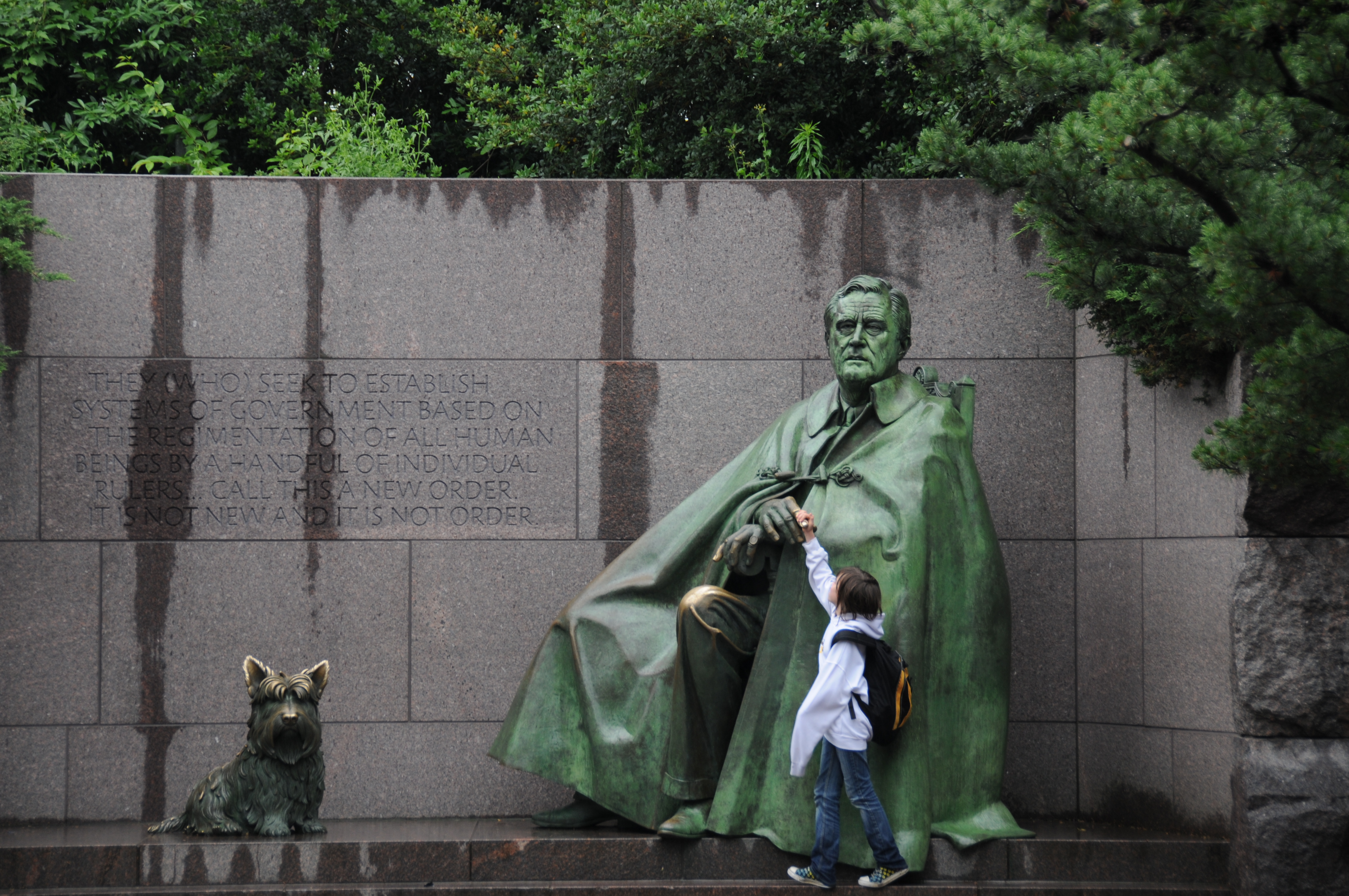
Travel Through Time at the Franklin Delano Roosevelt Memorial
From the Great Depression to World War II and beyond, follow a timeline representing America's longest-serving president and the challenges…
Nearby National Park Service Sites
These sites are ordered by straight-line distance between NPS reference coordinates. This is useful for comparison, but it is not road mileage. Trails, parkways, rivers, and distributed units may extend far from their reference point.
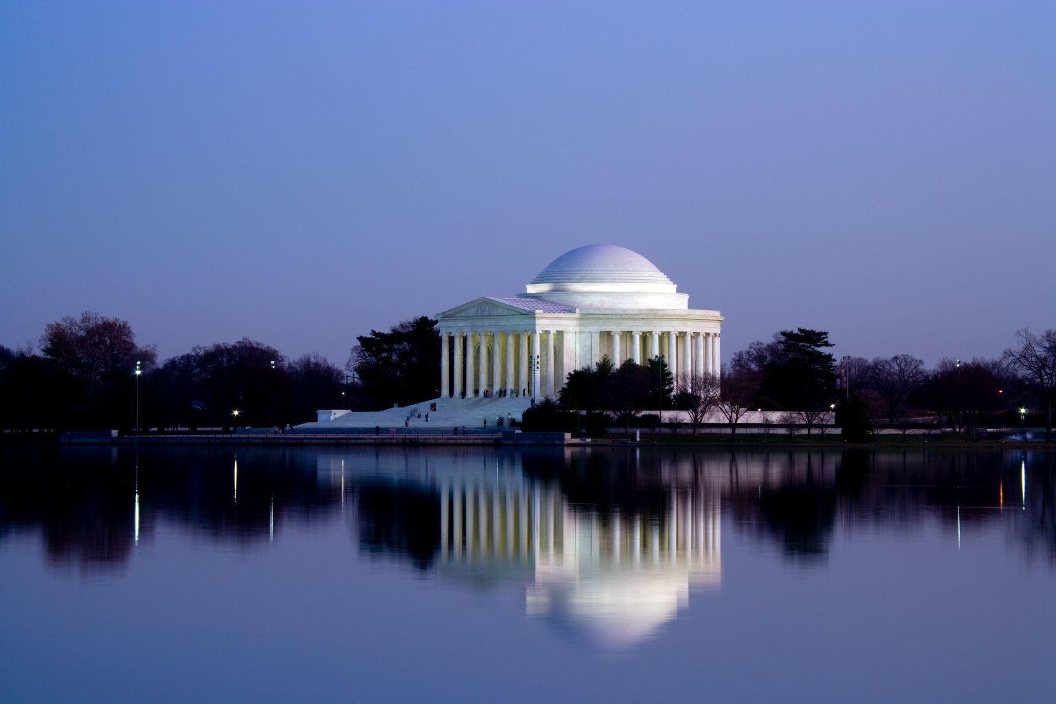

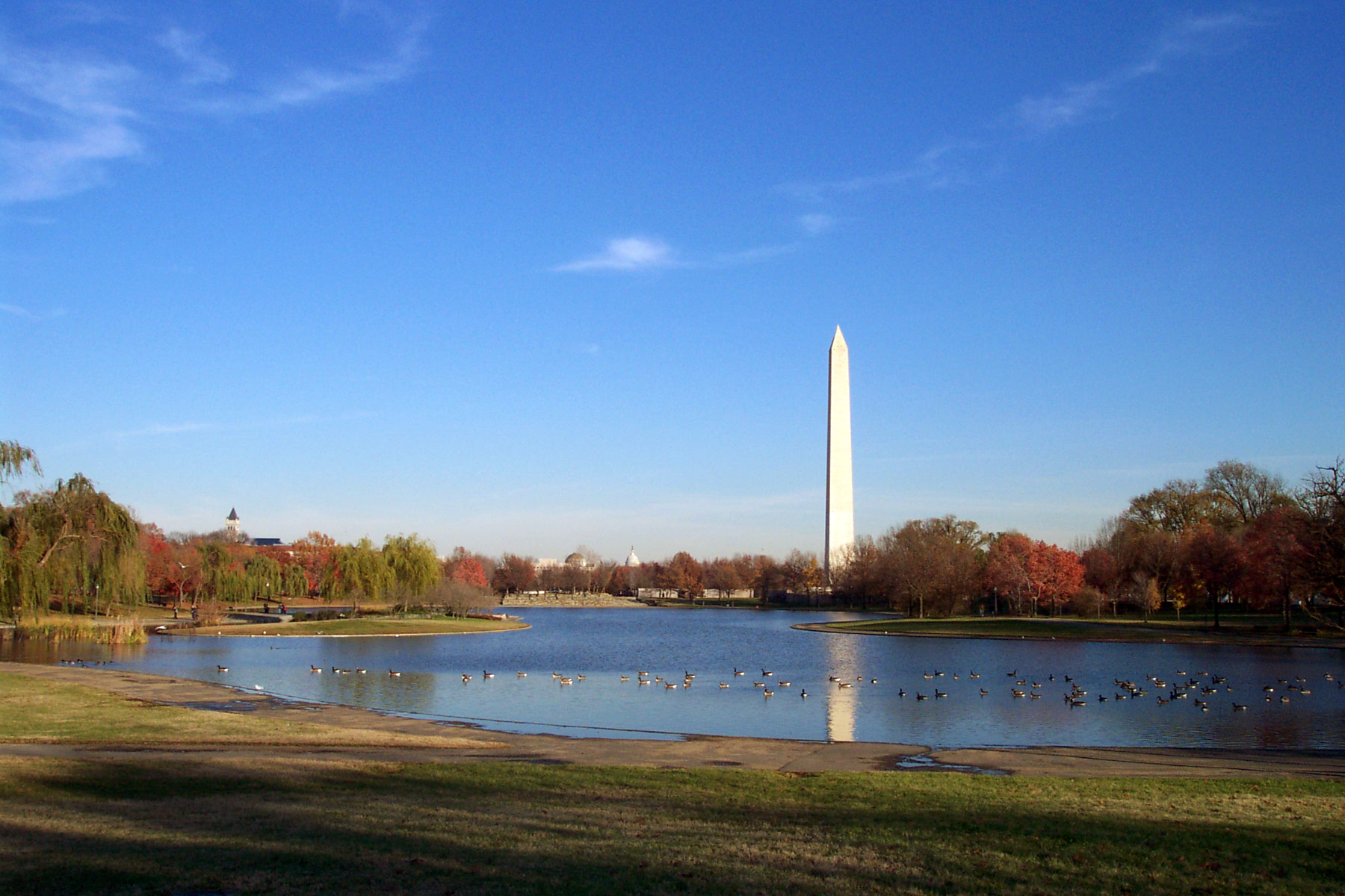
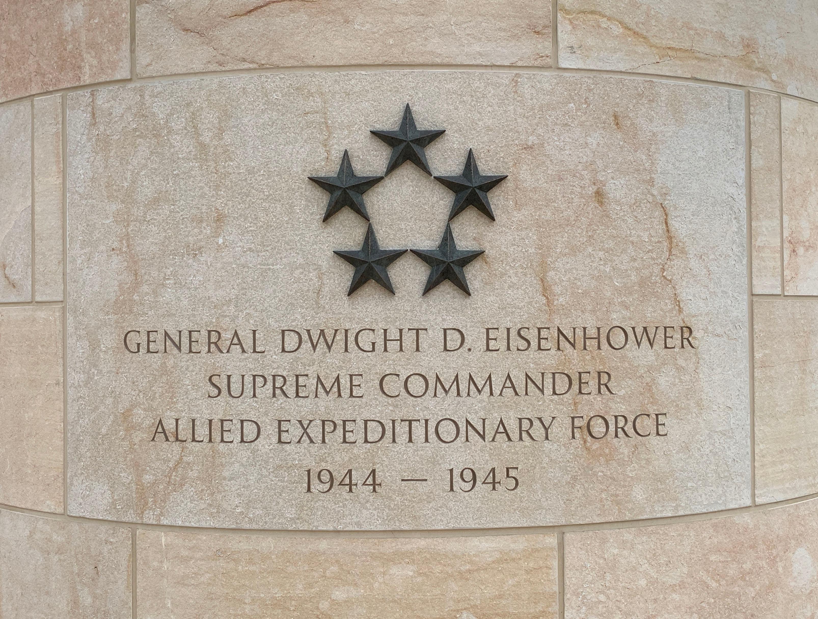
Nearby Cities for Trip Planning
These cities are ordered by straight-line distance from the NPS reference coordinate. They are comparison starting points, not official park gateways or road-distance estimates. Trails and other distributed units may extend far beyond this reference point.