
About De Soto National Memorial
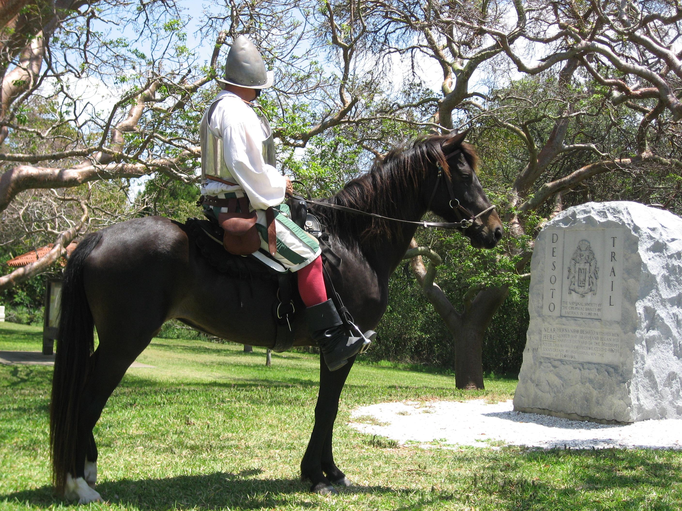
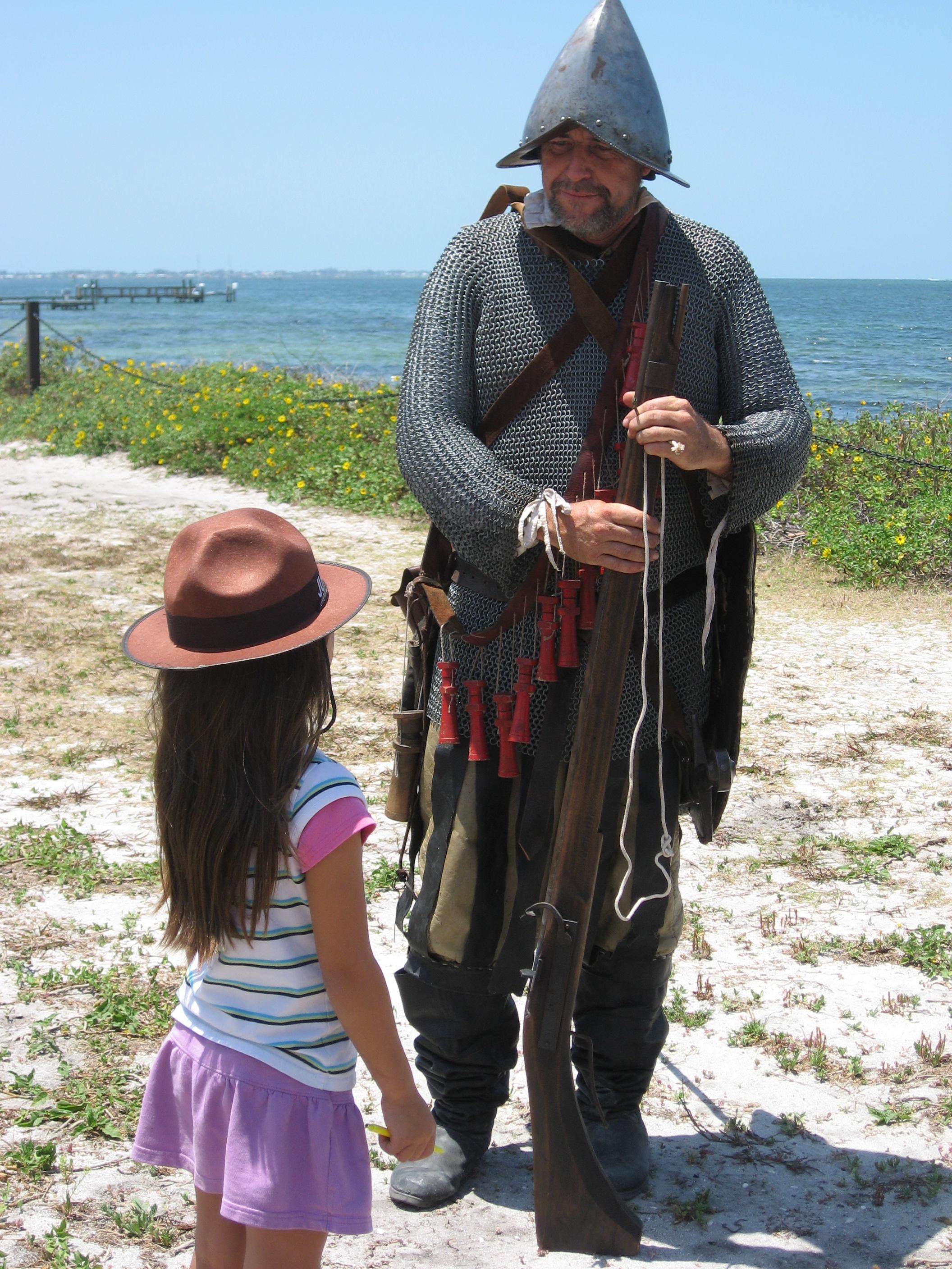
In May 1539, Conquistador Hernando de Soto’s army of soldiers, hired mercenaries, craftsmen, and clergy made landfall in Tampa Bay. They were met with fierce resistance of indigenous people protecting their homelands. De Soto’s quest for glory and gold would be a four year, four thousand mile odyssey of intrigue, warfare, disease, and discovery that would form the history of the United States.
Plan a Visit
Core visitor information on this page is sourced from the National Park Service. NPD proximity sections use NPS reference coordinates and straight-line distance. Local source bundle updated Sep 27, 2026. View the official NPS page.
Weather & Conditions
Summers avg. Temperature is 90 degrees Fahrenheit with a relative humidity of 80-90% Late afternoon showers and thunderstorms are common usually lasting only 10-20 minutes. Winters are mild and dry with lows reaching on average 60 degrees.
NPS Reference Location
Park state / territory membership: Florida. This map uses the National Park Service reference coordinate. It may represent an administrative or reference point rather than a park entrance, trailhead, visitor center, or the nearest access point. Use the official NPS directions below when planning travel.
Operating Hours
De Soto National Memorial is open with a Visitor Contact Tent. The park's Visitor Center remains closed due to Hurricane damage. The park cannot offer the movie at this time. Trails are awaiting rehabilitation and access is limited for those who need mobility assistance. There are portable restroom facilities and handwashing stations on site for visitor use.
Activities
Current Alerts
Due to damage from the 2024 Hurricanes. The Park's visitor centers and restrooms are closed due to health and safety issues. The Park has installed portable restrooms located at the front of the park for visitor use.
Getting There
Driving Directions: From I-75 Take exit 220 SR 64/Manatee Ave, Gulf Beaches exit. Travel west on SR 64 for approximately 12 miles to 75th St. W. Turn right onto 75th St. W. travel north approximately 2 miles to the northern terminus 75th St. W. turns into De Soto Memorial Hwy and dead ends into the park.
View Official DirectionsContact & Address
The NPS-listed address may be an administrative office, visitor center, mailing/contact location, or other park facility rather than a park entrance.
Topics & Themes
Visitor Centers
De Soto National Memorial Visitor Reception Tent
The De Soto National Visitor Reception area is located on the sidewalk outside of the Visitor Center. Visitors can receive information such as program and…
Nearby National Park Service Sites
These sites are ordered by straight-line distance between NPS reference coordinates. This is useful for comparison, but it is not road mileage. Trails, parkways, rivers, and distributed units may extend far from their reference point.

Nearby Cities for Trip Planning
These cities are ordered by straight-line distance from the NPS reference coordinate. They are comparison starting points, not official park gateways or road-distance estimates. Trails and other distributed units may extend far beyond this reference point.
🗺️ Guided Tours & Experiences
Discover De Soto National Memorial with expert-led tours
We earn a commission if you make a purchase, at no additional cost to you.
🏨 Search Lodging for De Soto National Memorial
Review lodging results matching this park or site name
We earn a commission if you make a purchase, at no additional cost to you.