
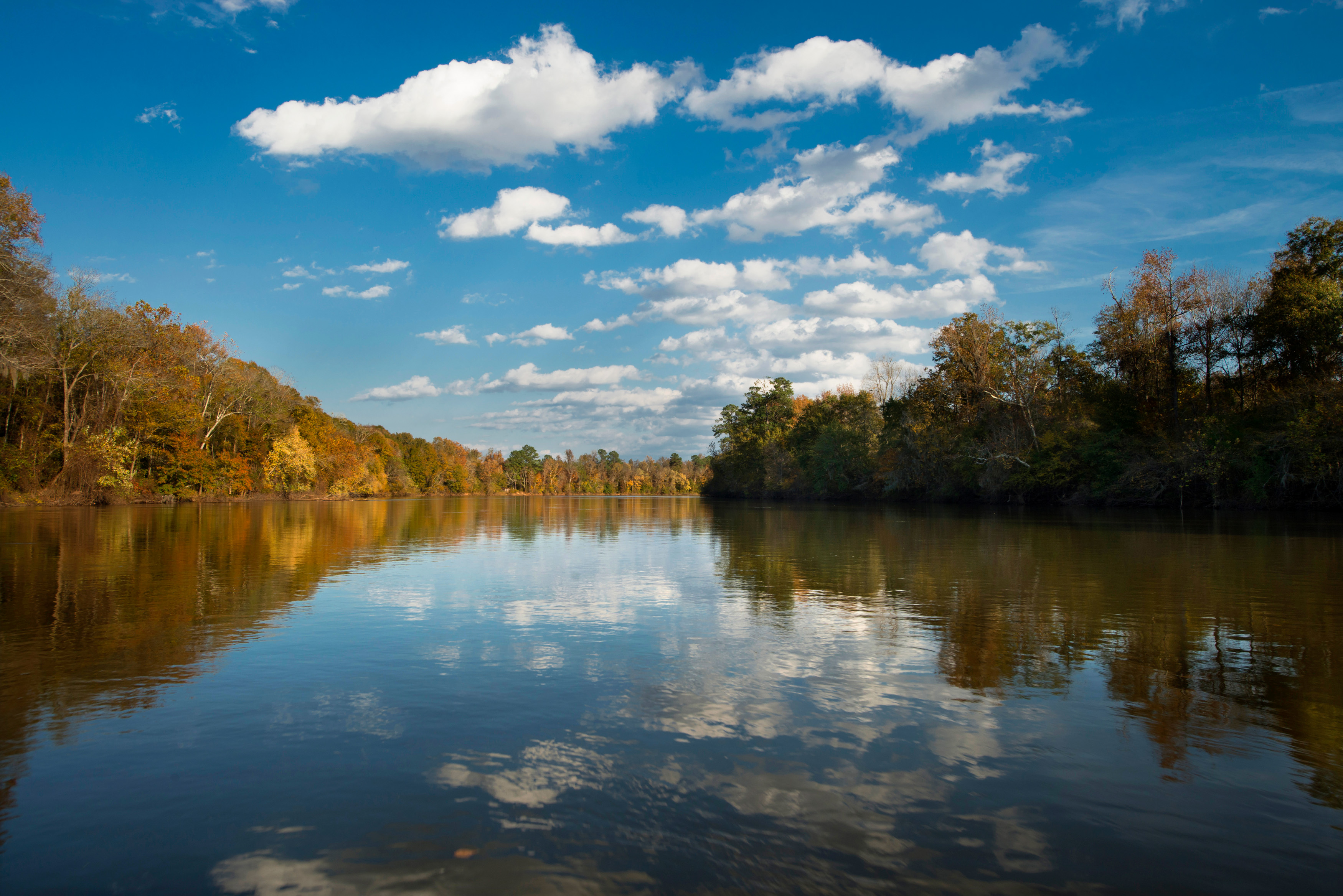
About Congaree National Park
Astonishing biodiversity exists in Congaree National Park, the largest intact expanse of old growth bottomland hardwood forest remaining in the southeastern United States. Waters from the Congaree and Wateree Rivers sweep through the floodplain, carrying nutrients and sediments that nourish and rejuvenate this ecosystem and support the growth of national and state champion trees.
Plan a Visit
Core visitor information on this page is sourced from the National Park Service. NPD proximity sections use NPS reference coordinates and straight-line distance. Local source bundle updated Sep 27, 2026. View the official NPS page.
Weather & Conditions
Check the forecast before getting on the road. Conditions can change rapidly within the park. Flooding can happen with little or no warning, so make sure to check water levels for Cedar Creek and the Congaree River.
NPS Reference Location
Park state / territory membership: South Carolina. This map uses the National Park Service reference coordinate. It may represent an administrative or reference point rather than a park entrance, trailhead, visitor center, or the nearest access point. Use the official NPS directions below when planning travel.
Operating Hours
Congaree National Park is generally open 24 hours a day year-round. For visitor and staff safety, park operations and/or weather conditions may occasionally result in short term, temporary closures. Please review the park webpage and social media platforms for more information. The Harry Hampton Visitor Center is open 9-5, daily. It is closed New Year's Day, President's Day, Columbus Day, Thanksgiving, and Christmas Day. Please check alerts prior to your visit.
Activities
Current Alerts
Congaree can be hot & humid from late spring through early fall. Be sure that you & your party (including pets) have adequate water & choose activities that fit your level of physical fitness. Consider visiting early in the morning when it is cooler.
Trees down across Cedar Creek between Bannister's Bridge and South Cedar Creek may require significant portages depending on water levels & paddlers should plan accordingly. All paddlers should have necessary equipment, including the 10 Essentials.
GPS is necessary on backcountry trails: Oakridge, Boggy Gut (formerly River), and Kingsnake. These trails may be difficult to follow.
If being dropped off at the park, please ensure you will have a return ride. Taxis and rideshares do not often come out to Congaree, and the bus may be unavailable. Please plan ahead.
Getting There
From Interstate 77, Exit 5 At Exit 5 turn onto SC Hwy 48 East/Bluff Road. Following the brown and white "Congaree National Park" directional signs, travel approximately 8 miles on and then take a slight right onto Old Bluff Road. Follow Old Bluff Road for 4.5 miles to the park entrance sign, which will be on the right. Proceed one mile to the Harry Hampton Visitor Center. Parking lots will be on the right.
View Official DirectionsContact & Address
The NPS-listed address may be an administrative office, visitor center, mailing/contact location, or other park facility rather than a park entrance.
Topics & Themes
Visitor Centers
Harry Hampton Visitor Center
Open 9:00 a.m. to 5:00 p.m. daily. Closed New Year's Day, Washington's Birthday, Columbus Day, Thanksgiving Day, and Christmas Day. Hours may be affected by…
Campgrounds
Longleaf Campground
The Longleaf Campground offers walk up campsites for visitors wishing to camp in the frontcountry of Congaree. Campers may park and walk to their site.…
Bluff Campground
The Bluff Campground is a hike in campground and is perfect for those looking to camp in the frontcountry yet have a more backcountry experience.…
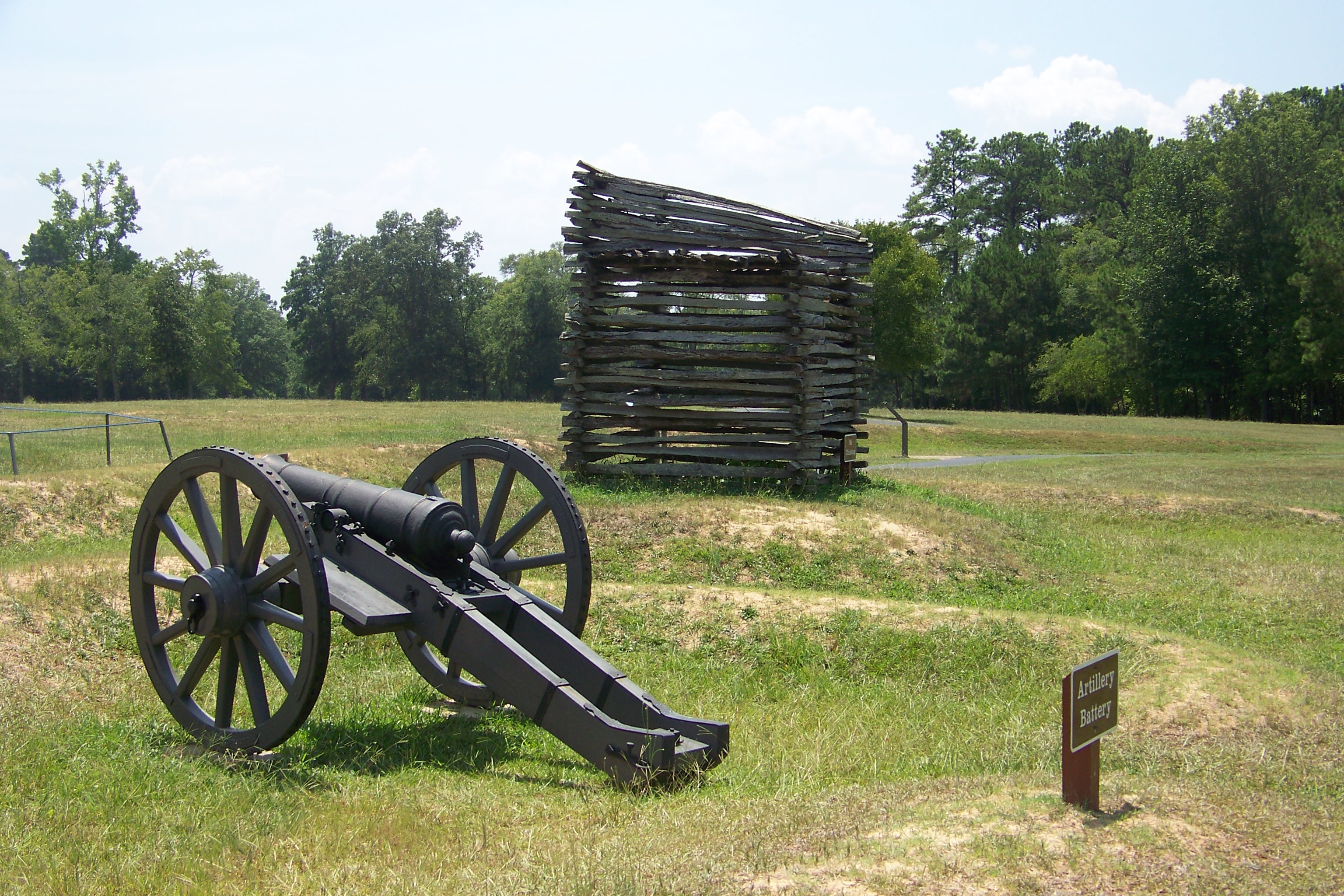
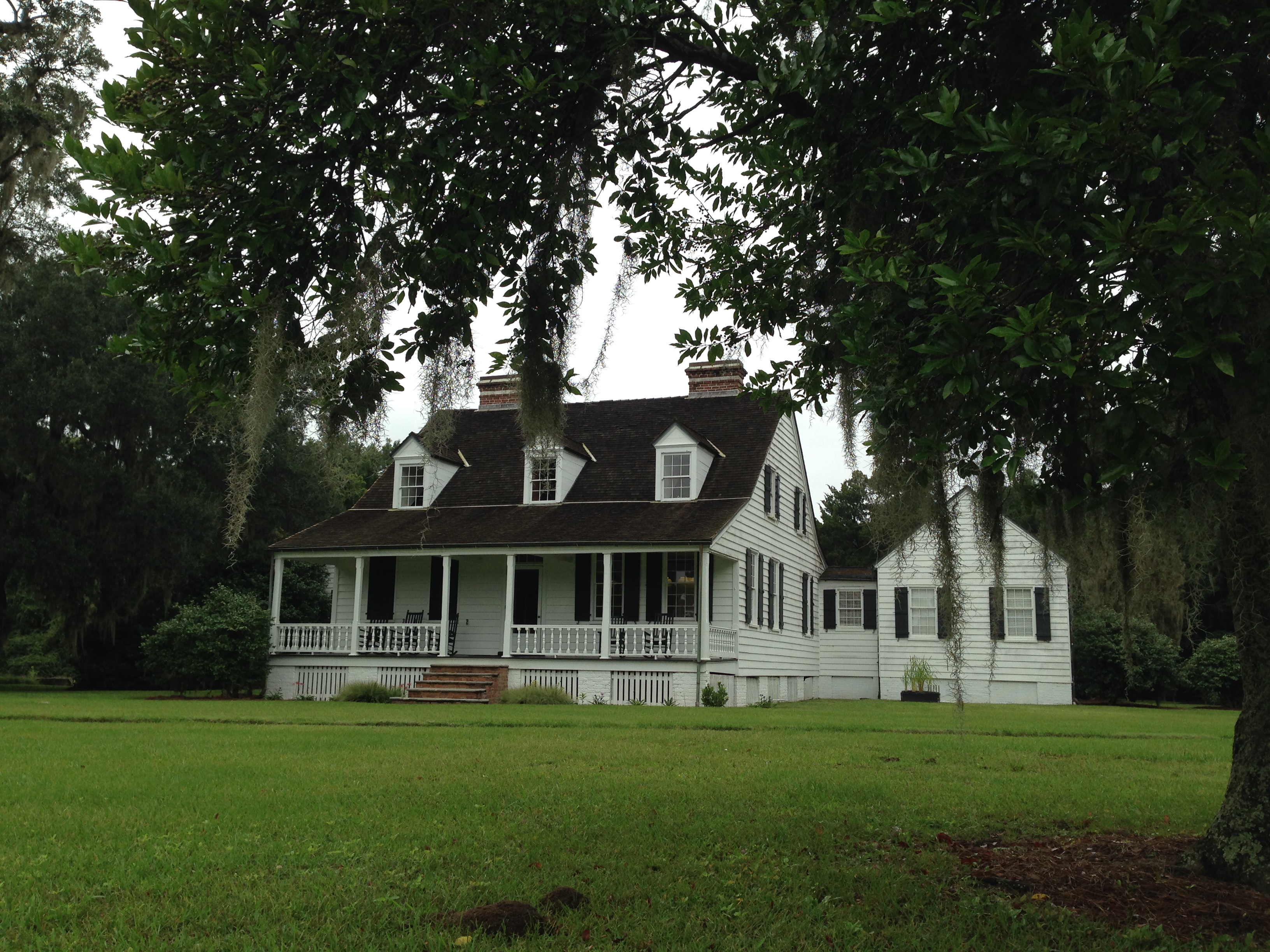
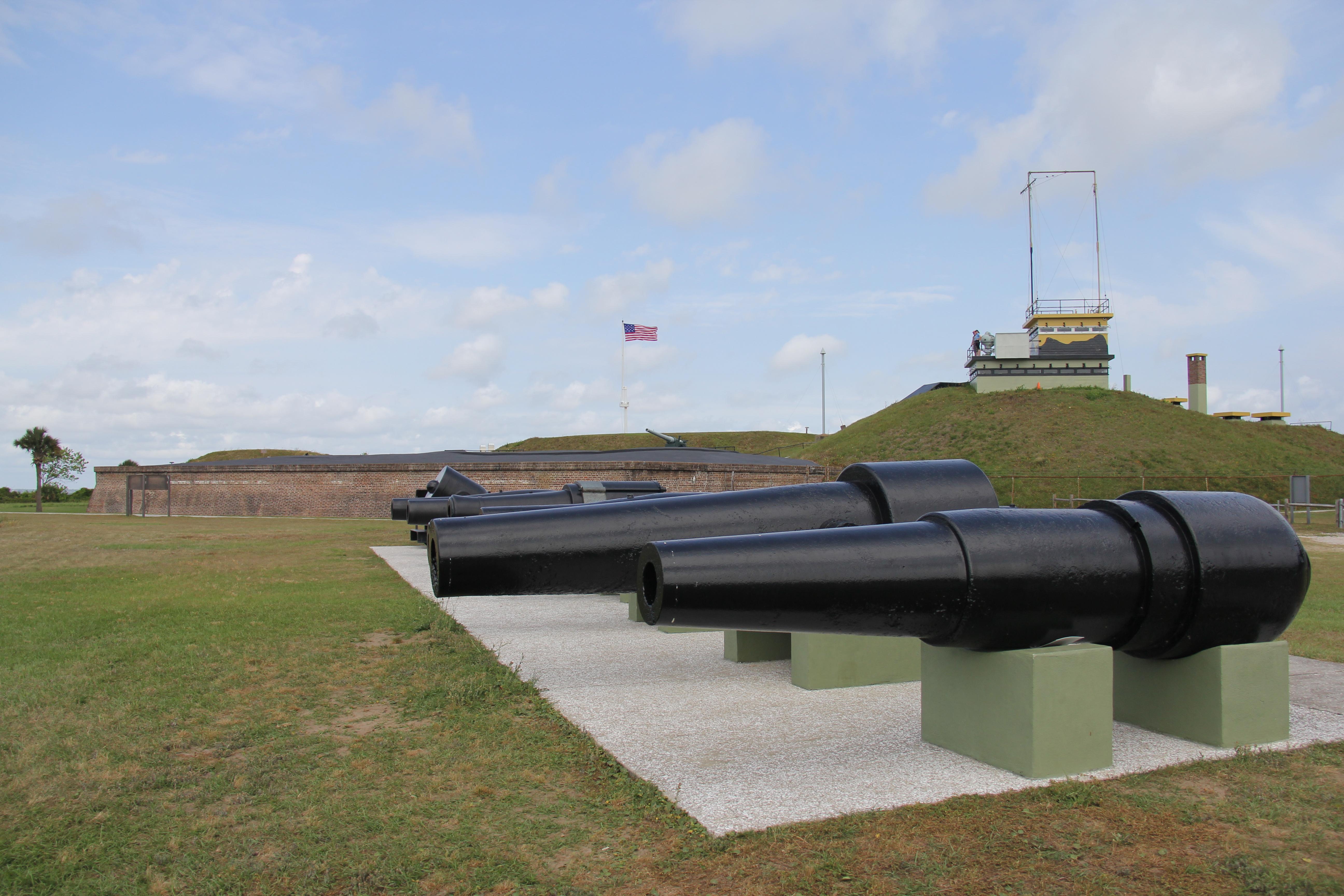
Nearby National Park Service Sites
These sites are ordered by straight-line distance between NPS reference coordinates. This is useful for comparison, but it is not road mileage. Trails, parkways, rivers, and distributed units may extend far from their reference point.
Nearby Cities for Trip Planning
These cities are ordered by straight-line distance from the NPS reference coordinate. They are comparison starting points, not official park gateways or road-distance estimates. Trails and other distributed units may extend far beyond this reference point.
🗺️ Guided Tours & Experiences
Discover Congaree National Park with expert-led tours
We earn a commission if you make a purchase, at no additional cost to you.
🏨 Search Lodging for Congaree National Park
Review lodging results matching this park or site name
We earn a commission if you make a purchase, at no additional cost to you.