
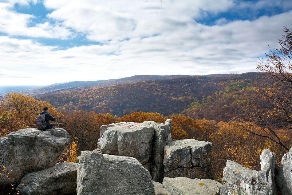


About Catoctin Mountain Park
President Franklin D. Roosevelt created programs to give people a chance to rebuild their lives from the Great Depression. The Works Progress Administration and the Civilian Conservation Corps gave this land a second opportunity and through re-growth, a new role as a recreation area.
Plan a Visit
Core visitor information on this page is sourced from the National Park Service. NPD proximity sections use NPS reference coordinates and straight-line distance. Local source bundle updated Sep 27, 2026. View the official NPS page.
Weather & Conditions
Summer (June-Aug) average temperature is between 61 and 81 degrees Fahrenheit. Fall (Sep-Nov) average temperature is between 45 and 64 degrees Fahrenheit. Fall foliage is at its peak in mid-October Winter (Dec-Feb) average temperature is between 24 and 41 degrees Fahrenheit. Winter snowfall is between 5-12" per month. Spring (March-May)…
NPS Reference Location
Park state / territory membership: Maryland. This map uses the National Park Service reference coordinate. It may represent an administrative or reference point rather than a park entrance, trailhead, visitor center, or the nearest access point. Use the official NPS directions below when planning travel.
Operating Hours
Hiking trails and parking areas are open year round, dawn to dusk, but may close as a result of security or safety concerns. Consult the park's website for updates: http://www.nps.gov/cato/index.htm. The visitor center, camps, and campgrounds have separate hours. Please see descriptions for those facilities elsewhere.
Activities
Getting There
To reach the visitor center from the east, follow US Route 15 to MD Route 77 and go west about 3 miles. The visitor center is on the right side of the road. From the west, take I 70 to MD 66 at exit 35. Turn left onto MD 66 north and travel about 5 miles, passing through the roundabout. Turn right onto MD 64 and drive 1 mile. Turn right onto MD 77. Drive on MD 77 about 7.5 miles. The visitor center is on the left.
View Official DirectionsContact & Address
The NPS-listed address may be an administrative office, visitor center, mailing/contact location, or other park facility rather than a park entrance.
Topics & Themes
Things To Do
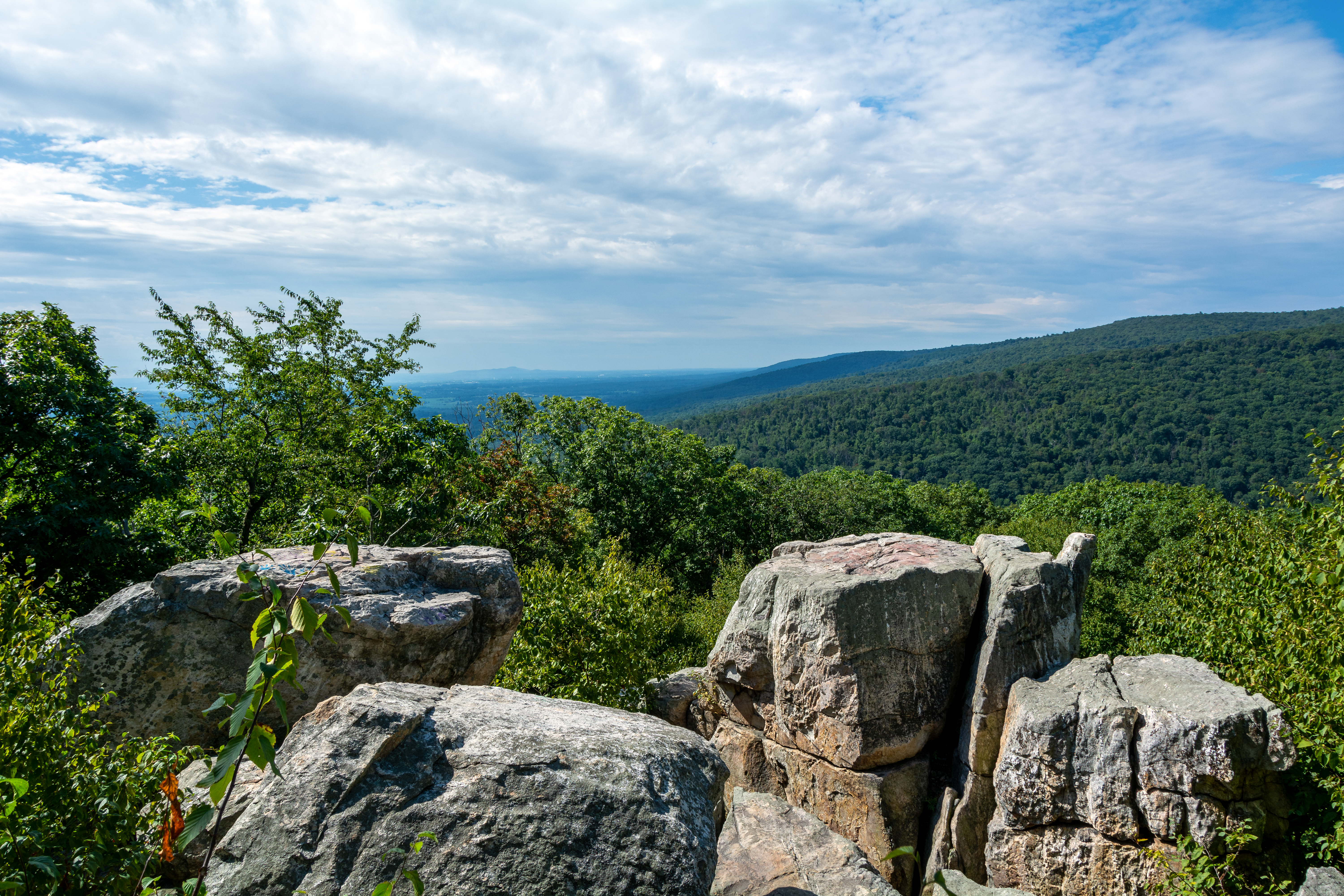
8-Mile Loop Trail
Covering the majority of the sites on the east side of the park, the 8-Mile Loop Trail provides hikers with…

Cabin Camping
Lodging in the park can facilitate groups both large and small.

Fishing at Lewis Pond
The Lewis Pond offers a quiet and peaceful opportunity to go freshwater fishing.

Fly Fishing
Big Hunting Creek is a catch-and-return, fly fishing stream.

Rock Climbing
Wolf Rock is the only location on site open to technical rock climbing.

Deerfield Nature Trail
This 1.3 mile loop trail travels along Owens Creek, exploring the historical and ecological importance of the area.