
About Buffalo National River
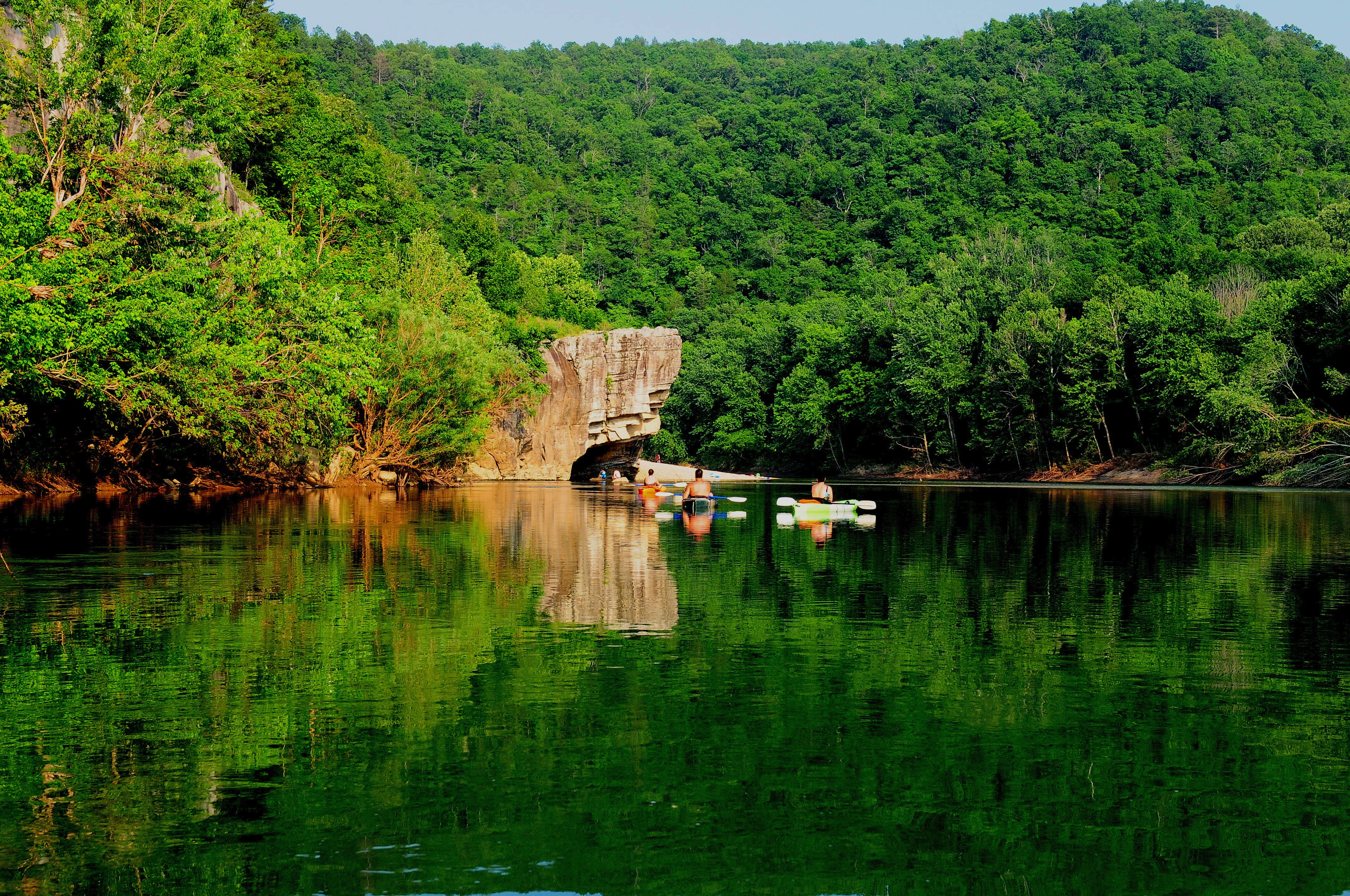
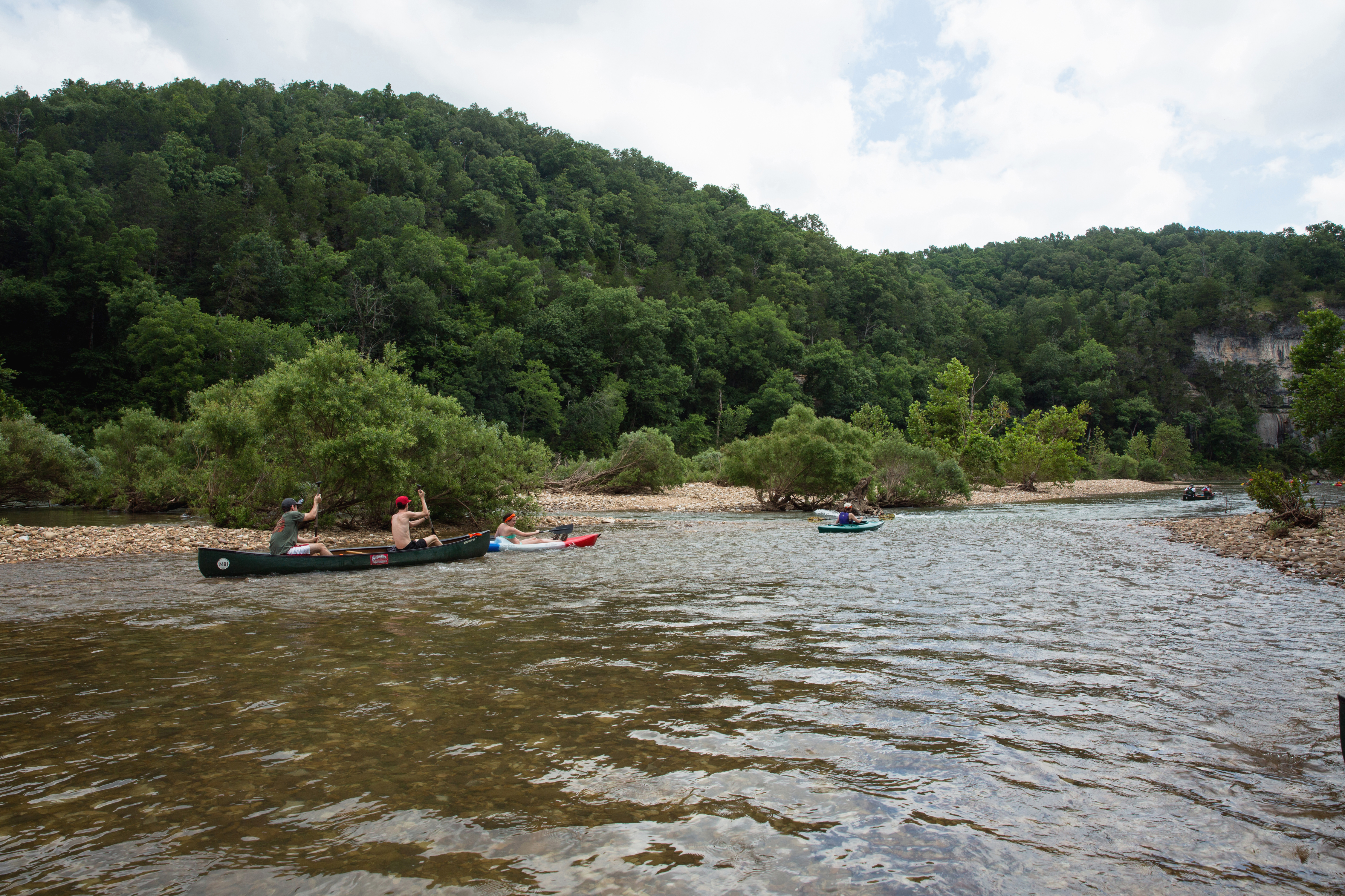
Established in 1972, Buffalo National River flows freely for 135 miles and is one of the few remaining undammed rivers in the lower 48 states. Once you arrive, prepare to journey from running rapids to quiet pools while surrounded by massive bluffs as you cruise through the Ozark Mountains down to the White River.
Plan a Visit
Core visitor information on this page is sourced from the National Park Service. NPD proximity sections use NPS reference coordinates and straight-line distance. Local source bundle updated Sep 27, 2026. View the official NPS page.
Weather & Conditions
Summer in the Ozarks can be very hot and humid. Please check the weather forecast prior to your arrival and plan accordingly. The weather the rest of the year has the potential to be wet and cool or dry and warm. Please pay special attention to river levels and the…
NPS Reference Location
Park state / territory membership: Arkansas. This map uses the National Park Service reference coordinate. It may represent an administrative or reference point rather than a park entrance, trailhead, visitor center, or the nearest access point. Use the official NPS directions below when planning travel.
Operating Hours
Buffalo National River is 135 miles long. The park is open 24 hours.
Activities
Current Alerts
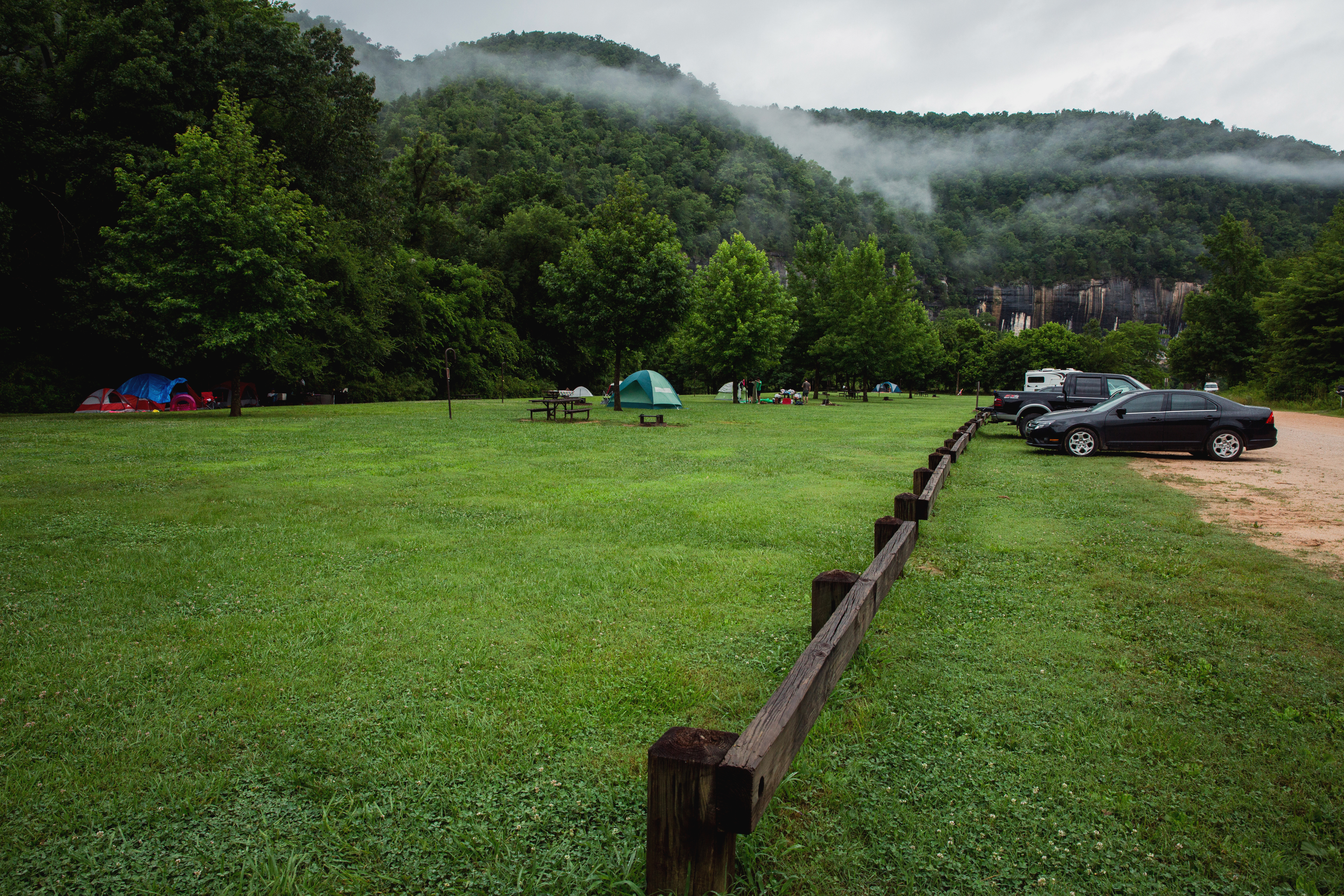
Starting March 15, 2027, reservations will be required for all campsites at Buffalo Point Campground, including A & E Loops. Reservations must be made through Recreation.gov (www.recreation.gov) or by calling 877-444-6777. Reservations can be made the same day or up to six months in advance. Please note that cell phone service is unreliable in these areas, so it is strongly recommended to make your reservation before arriving at the campground.
In the interest of safety, the South Woolum Road has been closed. The Woolum launch and campground remain open.
Getting There
Buffalo National River is a long, narrow park that is crossed by three main highways. Highways 7, 43, and 62/65 are the main roads out of Harrison, Arkansas that will take you to the Buffalo River, depending on which part of the park you wish to visit. GPS systems are not reliable in this area so please call ahead for directions or pick up a map of the area beforehand.
View Official DirectionsContact & Address
The NPS-listed address may be an administrative office, visitor center, mailing/contact location, or other park facility rather than a park entrance.
Topics & Themes
Things To Do
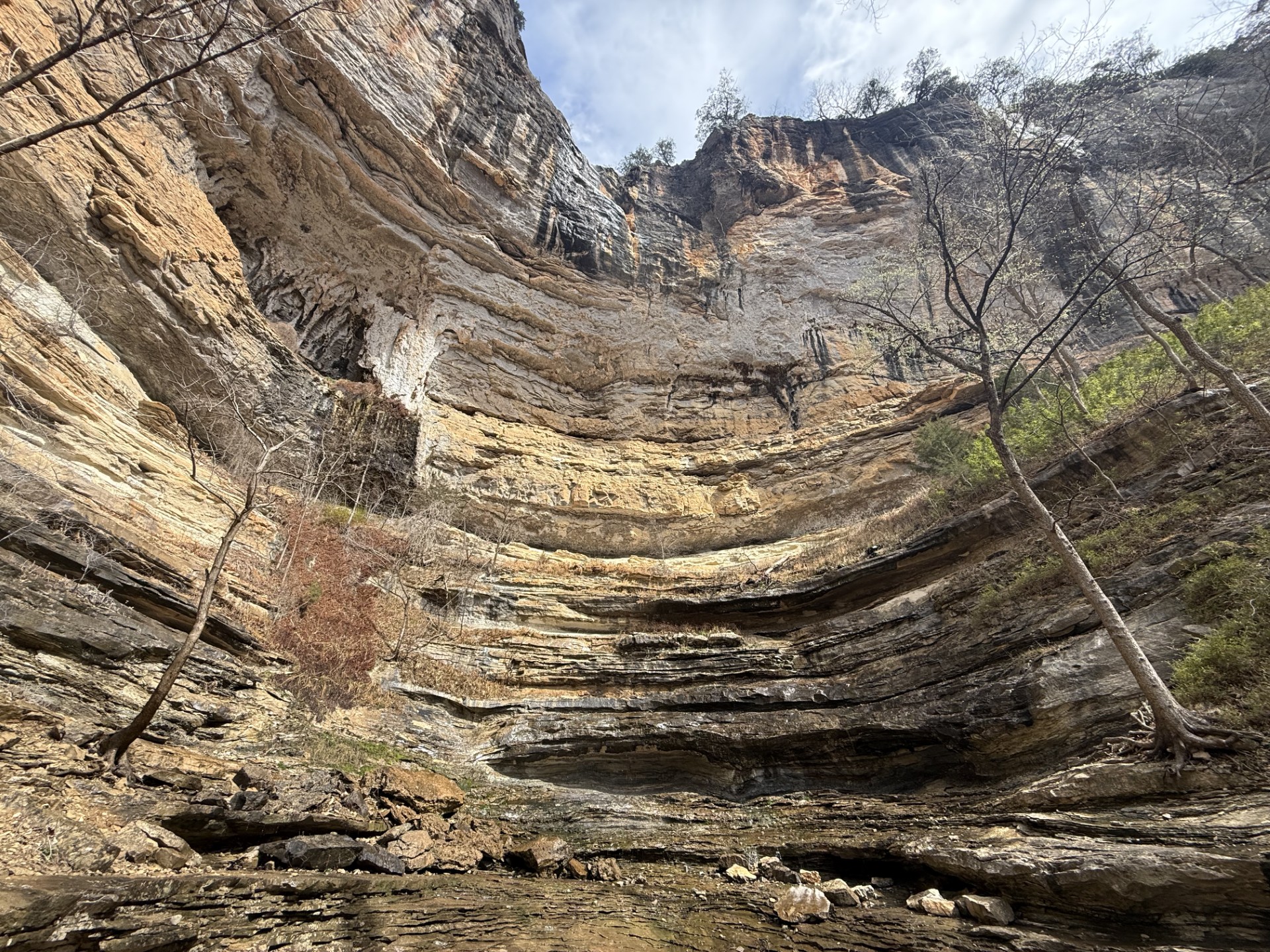
Hike to Hemmed-in Hollow
The picturesque Hemmed-in Hollow Falls cascades nearly 210 feet over rugged Ozark bluffs, making it the highest waterfall between the…

Paddling Gilbert to South Maumee
This reach is about 12 miles which makes it one of the less crowded sections of the river.
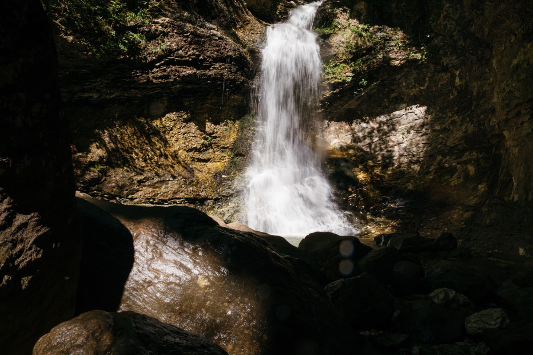
Hike the Lost Valley Trail
The Lost Valley Trail is an easy to moderate hike through a box canyon sculpted by Clark Creek. At 2.4…
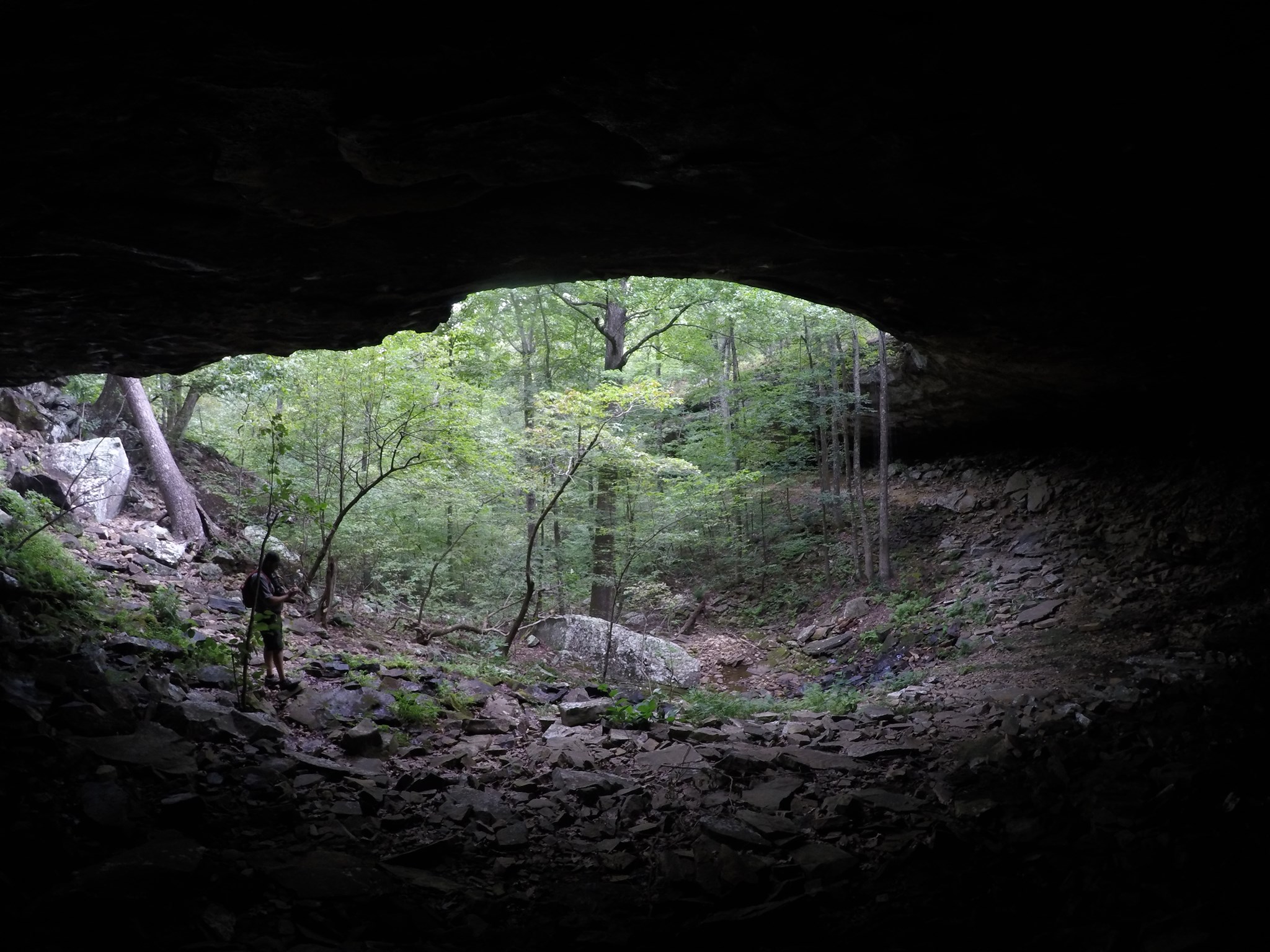
Hike to Hideout Hollow
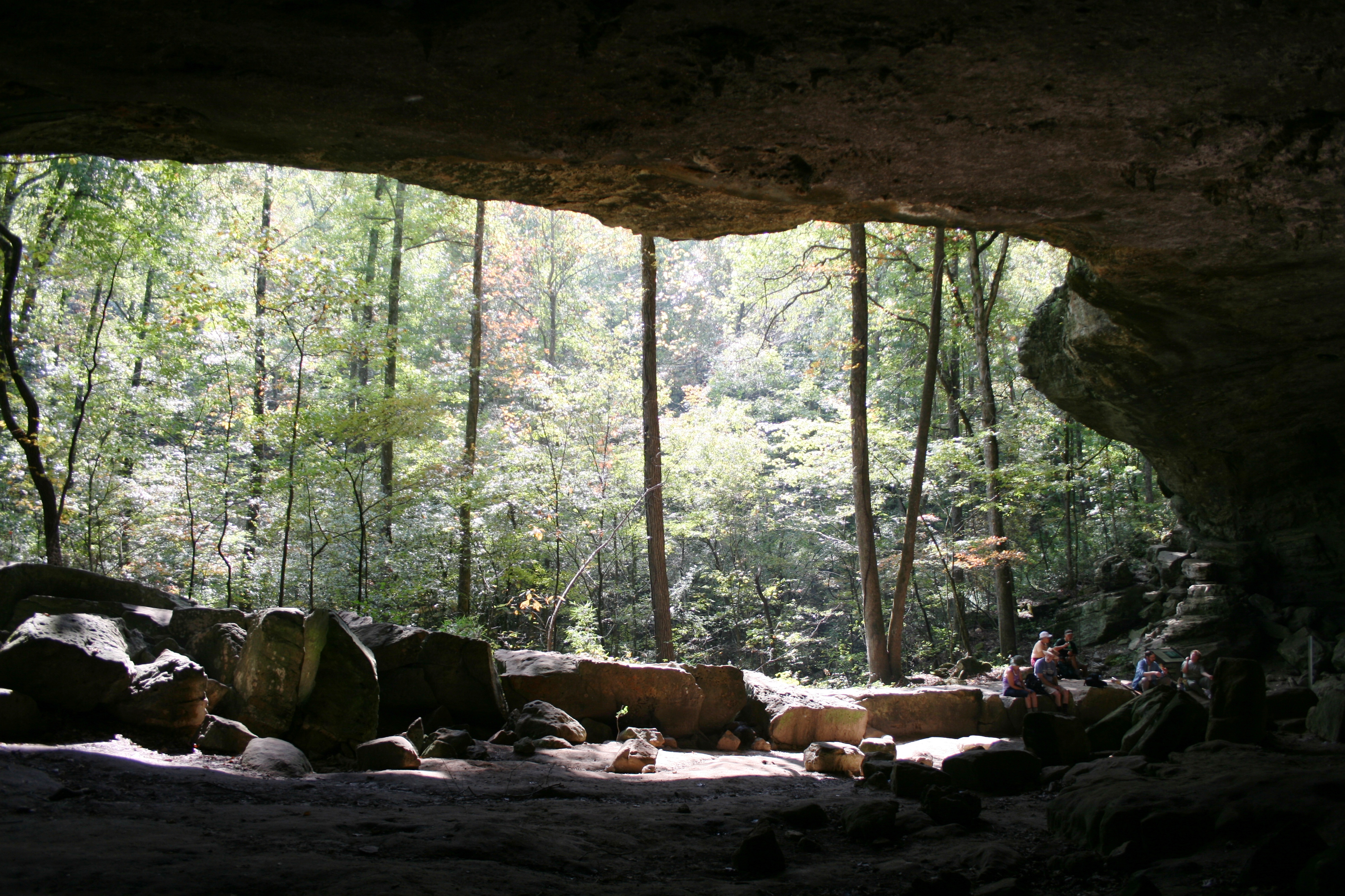
The Hideout Hollow Trail leads to a rock shelter that was once inhabited by a group of World War I…
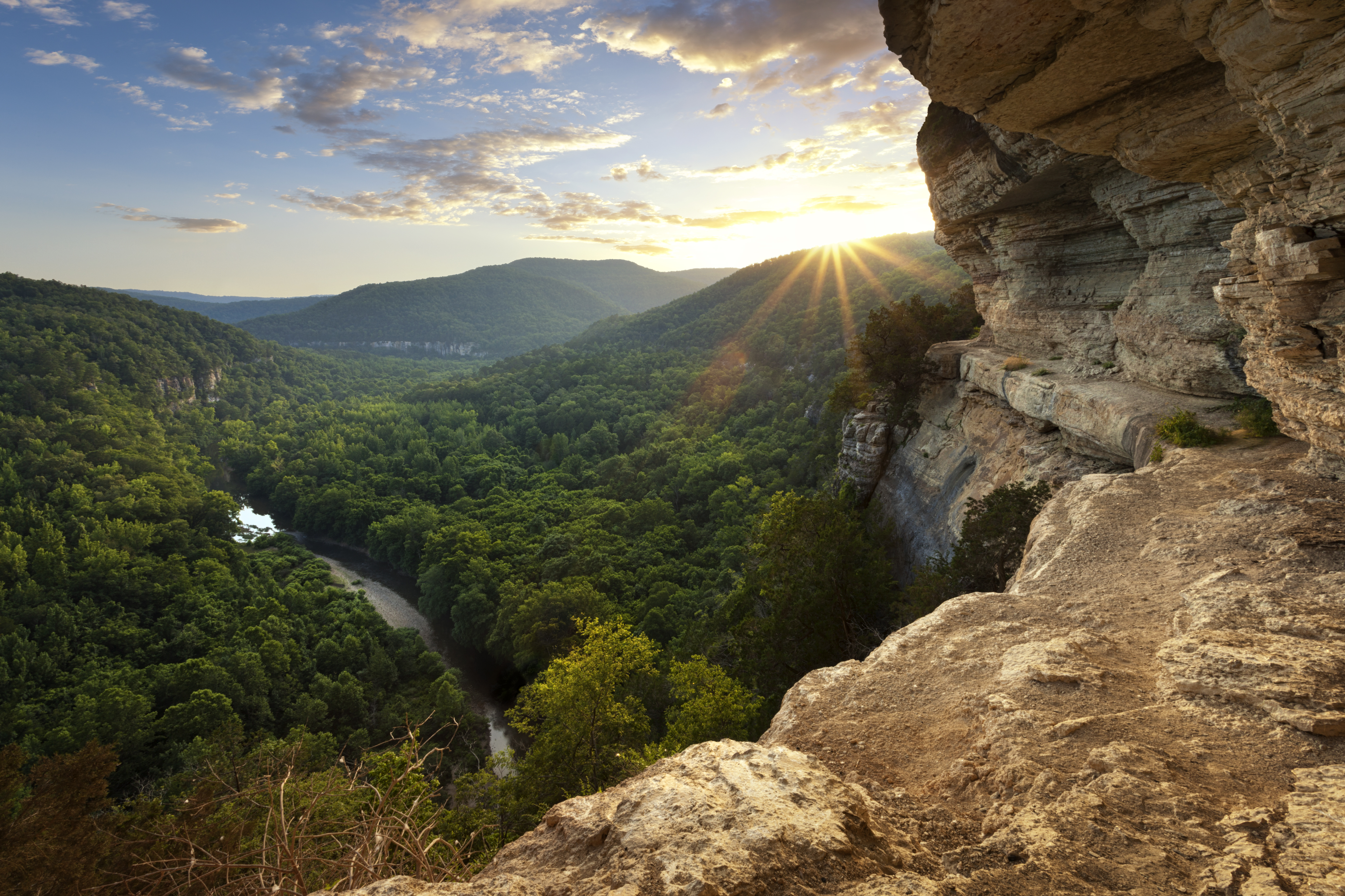
Hike to Big Bluff
The Centerpoint Trail is a strenuous hike that traverses the Ponca Wilderness, winding down an old wagon road descending nearly…
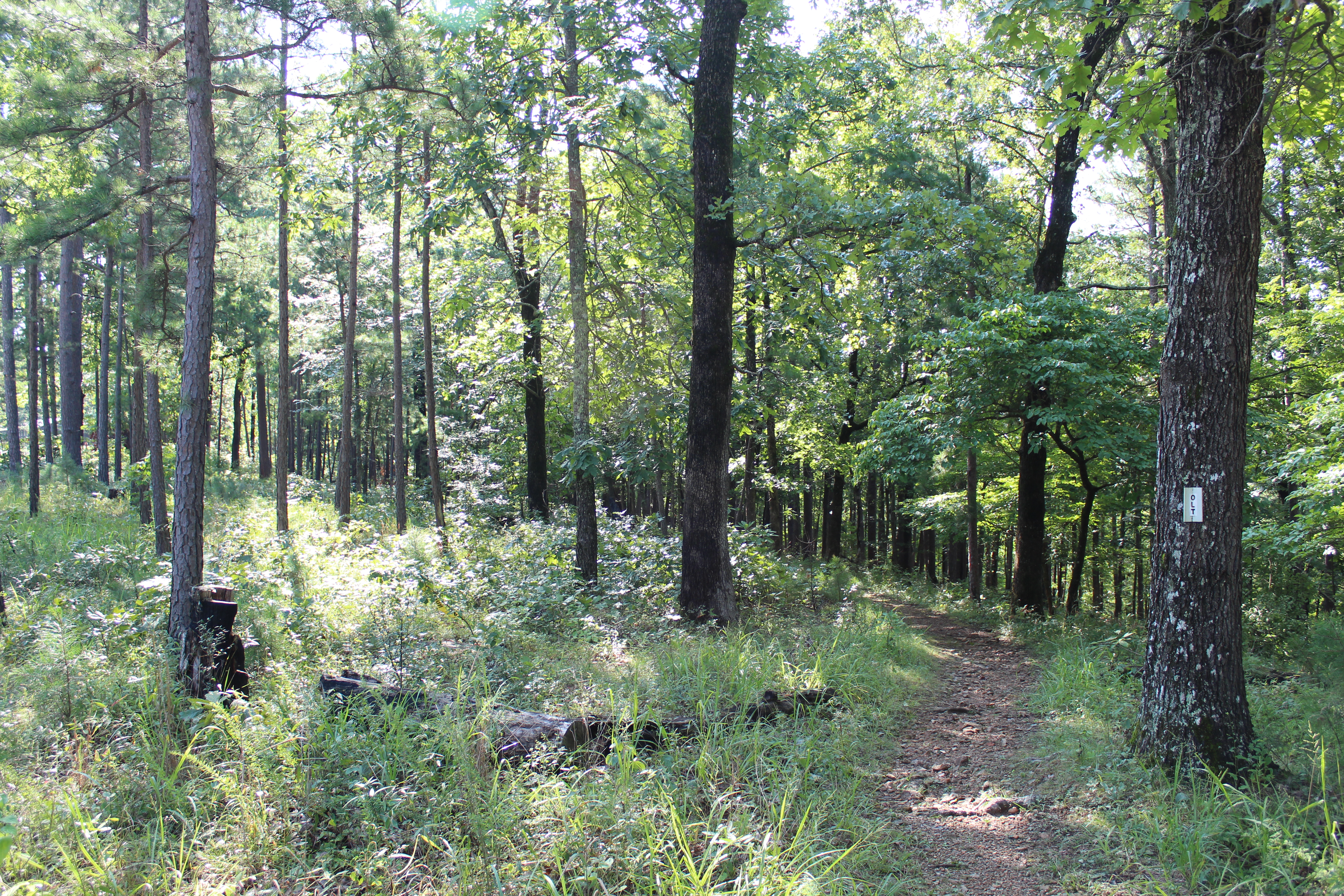
Hike the Buffalo Point Campground Trails
The Buffalo Point Campground Trails give campers, day hikers, and leashed dogs a chance to stretch their legs between the…
More Things to Do
Additional activities and experiences from the National Park Service.
Hike the Rush Mine Level Trail and Morning Star Interpretive Loop
This .25 mile to 1.5 mile trail offers beautiful views of Rush Valley and gives hikers an understanding of the historic, mining,…